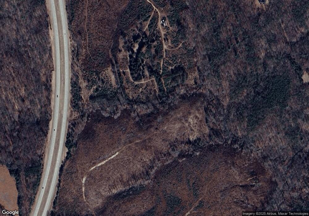
657 Bobwhite Rd Amherst, VA 24521
Estimated Value: $79,000 - $128,000
--
Bed
--
Bath
--
Sq Ft
92.13
Acres
About This Home
This home is located at 657 Bobwhite Rd, Amherst, VA 24521 and is currently estimated at $103,500. 657 Bobwhite Rd is a home located in Amherst County with nearby schools including Central Elementary School, Amherst Middle School, and Amherst County High School.
Ownership History
Date
Name
Owned For
Owner Type
Purchase Details
Closed on
Sep 4, 2024
Sold by
Thomas Sallie R
Bought by
Sandidge Robert and Sandidge Dorothy G
Current Estimated Value
Purchase Details
Closed on
Aug 31, 2024
Sold by
Sandidge Robert and Sandidge Dorothy G
Bought by
Sandidge Timothy and Sandidge Sherman A
Purchase Details
Closed on
Nov 14, 2023
Sold by
Sandidge Robert
Bought by
Sandidge Robert and Sandidge Dorothy G
Purchase Details
Closed on
Nov 6, 2023
Sold by
John Thomas and John Sallie R
Bought by
Thomas Sallie R
Purchase Details
Closed on
Mar 16, 2011
Sold by
Thomas John
Bought by
Thomas John and Thomas Sallie R
Create a Home Valuation Report for This Property
The Home Valuation Report is an in-depth analysis detailing your home's value as well as a comparison with similar homes in the area
Home Values in the Area
Average Home Value in this Area
Purchase History
| Date | Buyer | Sale Price | Title Company |
|---|---|---|---|
| Sandidge Robert | -- | None Listed On Document | |
| Sandidge Timothy | -- | None Listed On Document | |
| Sandidge Robert | -- | None Listed On Document | |
| Sandidge Robert | -- | None Listed On Document | |
| Thomas Sallie R | -- | None Listed On Document | |
| Thomas John | -- | None Available |
Source: Public Records
Tax History Compared to Growth
Tax History
| Year | Tax Paid | Tax Assessment Tax Assessment Total Assessment is a certain percentage of the fair market value that is determined by local assessors to be the total taxable value of land and additions on the property. | Land | Improvement |
|---|---|---|---|---|
| 2025 | $542 | $278,200 | $278,200 | $0 |
| 2024 | $542 | $306,300 | $306,300 | $0 |
| 2023 | $1,868 | $306,300 | $306,300 | $0 |
| 2022 | $1,868 | $306,300 | $306,300 | $0 |
| 2021 | $1,868 | $306,300 | $306,300 | $0 |
| 2020 | $1,868 | $306,300 | $306,300 | $0 |
| 2019 | $1,868 | $306,300 | $306,300 | $0 |
| 2018 | $1,868 | $306,300 | $306,300 | $0 |
| 2017 | $542 | $306,300 | $306,300 | $0 |
| 2016 | $1,868 | $306,300 | $306,300 | $0 |
| 2015 | $497 | $306,300 | $306,300 | $0 |
| 2014 | $497 | $306,300 | $306,300 | $0 |
Source: Public Records
Map
Nearby Homes
- 272 Eagle Rd
- 2.11 AC Izaak Walton Rd
- 107 Emory Way
- 126 Golf Course Trail
- 1114 Old Stage Rd
- 104 Buck Hill Dr
- 171 Faulconerville Dr
- 17 Cambridge Ct
- 15 Cambridge Ct
- 138 Stonefield Ct
- 108 Mansfield Dr
- 1170 Izaak Walton Rd
- 461 Plantation Rd
- 1358 S Coolwell Rd
- 0 Earley Farm Rd
- Lot 1 Kentmoor Farm Rd
- 180-Lot 2 Kentmoor Farm Rd
- 172 Stoney Creek Dr
- 203 Ned Brown Rd
- 1 Stoney Creek Dr
- 640 Bobwhite Rd
- 696 Bobwhite Rd
- 708 Bobwhite Rd
- 715 Bobwhite Rd
- 714 Bobwhite Rd
- 737 Bobwhite Rd
- 742 Bobwhite Rd
- 747 Bobwhite Rd
- 527 Bobwhite Rd
- 546 Bobwhite Rd
- 295 Neighbors Dr
- 459 Bobwhite Rd
- 321 Neighbors Dr
- 803 Bobwhite Rd
- 341 Neighbors Dr
- 253 Neighbors Dr
- 225 Neighbors Dr
- 0 Bob White Dr Unit 543249
- 0 Bob White Dr Unit 276119
- 0 Bob White Dr Unit 288896
