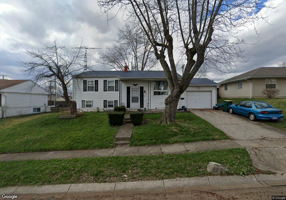
657 Bowser Dr New Carlisle, OH 45344
Estimated Value: $186,000 - $249,000
3
Beds
3
Baths
1,107
Sq Ft
$190/Sq Ft
Est. Value
About This Home
This home is located at 657 Bowser Dr, New Carlisle, OH 45344 and is currently estimated at $210,619, approximately $190 per square foot. 657 Bowser Dr is a home located in Clark County with nearby schools including Park Layne Elementary School, New Carlisle Elementary School, and Donnelsville Elementary School.
Ownership History
Date
Name
Owned For
Owner Type
Purchase Details
Closed on
Aug 21, 2008
Sold by
Deutsche Bank National Trust Co
Bought by
Hartman Ronald J
Current Estimated Value
Purchase Details
Closed on
Apr 11, 2008
Sold by
Spicer Eddie R and Spicer Kelly A
Bought by
Deutche Bank National Trust Co and First Franklin Mortgage Loan Trust 2006-
Purchase Details
Closed on
Sep 11, 2003
Sold by
Whitman Kay E and Whitman Kay E
Bought by
Spicer Eddie R and Spicer Kelly A
Home Financials for this Owner
Home Financials are based on the most recent Mortgage that was taken out on this home.
Original Mortgage
$80,000
Interest Rate
9.89%
Mortgage Type
Purchase Money Mortgage
Purchase Details
Closed on
Jan 21, 1997
Sold by
Ankeney George S
Bought by
Whitman Kay E
Create a Home Valuation Report for This Property
The Home Valuation Report is an in-depth analysis detailing your home's value as well as a comparison with similar homes in the area
Home Values in the Area
Average Home Value in this Area
Purchase History
| Date | Buyer | Sale Price | Title Company |
|---|---|---|---|
| Hartman Ronald J | $34,000 | Prism Title & Closing Servic | |
| Deutche Bank National Trust Co | $78,300 | None Available | |
| Spicer Eddie R | $80,000 | -- | |
| Whitman Kay E | $80,000 | -- |
Source: Public Records
Mortgage History
| Date | Status | Borrower | Loan Amount |
|---|---|---|---|
| Previous Owner | Spicer Eddie R | $80,000 |
Source: Public Records
Tax History Compared to Growth
Tax History
| Year | Tax Paid | Tax Assessment Tax Assessment Total Assessment is a certain percentage of the fair market value that is determined by local assessors to be the total taxable value of land and additions on the property. | Land | Improvement |
|---|---|---|---|---|
| 2024 | -- | $52,470 | $7,170 | $45,300 |
| 2023 | $2,550 | $52,470 | $7,170 | $45,300 |
| 2022 | $1,539 | $52,470 | $7,170 | $45,300 |
| 2021 | $2,050 | $37,840 | $5,470 | $32,370 |
| 2020 | $2,055 | $37,840 | $5,470 | $32,370 |
| 2019 | $2,053 | $37,840 | $5,470 | $32,370 |
| 2018 | $2,284 | $39,120 | $5,320 | $33,800 |
| 2017 | $2,270 | $35,949 | $5,320 | $30,629 |
| 2016 | $2,177 | $35,949 | $5,320 | $30,629 |
| 2015 | $1,827 | $35,603 | $4,974 | $30,629 |
| 2014 | $1,106 | $35,603 | $4,974 | $30,629 |
| 2013 | $1,861 | $35,603 | $4,974 | $30,629 |
Source: Public Records
Map
Nearby Homes
- 1689 Dale Ridge Rd
- 1616 Styer Dr
- 510 Bowser Dr
- 842 Edgewick Rd
- 1215 Chalet Dr
- 1210 Campbell Ave
- 1143 Bookwalter Ave
- 1124 Burket Dr
- 1115 Frayne Dr
- 1190 Shirra Ave
- 956 Styer Dr
- 216 Braun St
- 429 Tulip Rd
- 522 Caldwell Cir
- 423 Sycamore Rd
- 326 Kennedy Dr
- 870 Corvette Ave
- 851 Corvette Ave
- 518 Beach Dr
- 4065 Osborn Rd