Estimated Value: $770,000 - $930,000
2
Beds
3
Baths
2,823
Sq Ft
$301/Sq Ft
Est. Value
About This Home
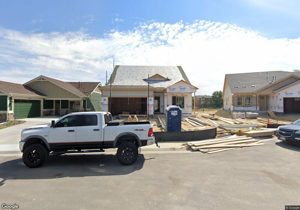
This home is located at 657 Brennan Cir, Erie, CO 80516 and is currently estimated at $848,372, approximately $300 per square foot. 657 Brennan Cir is a home with nearby schools including Red Hawk Elementary School, Erie Middle School, and Erie High School.
Ownership History
Date
Name
Owned For
Owner Type
Purchase Details
Closed on
Jan 31, 2024
Sold by
Kellow Donna Jean
Bought by
Kellow Donna J
Current Estimated Value
Purchase Details
Closed on
Nov 30, 2018
Sold by
Bc Brennan Llc
Bought by
Weston Jonathan P
Home Financials for this Owner
Home Financials are based on the most recent Mortgage that was taken out on this home.
Original Mortgage
$479,424
Interest Rate
4.8%
Mortgage Type
New Conventional
Create a Home Valuation Report for This Property
The Home Valuation Report is an in-depth analysis detailing your home's value as well as a comparison with similar homes in the area
Home Values in the Area
Average Home Value in this Area
Purchase History
| Date | Buyer | Sale Price | Title Company |
|---|---|---|---|
| Kellow Donna J | -- | None Listed On Document | |
| Weston Jonathan P | $639,233 | Land Title Guarantee Co |
Source: Public Records
Mortgage History
| Date | Status | Borrower | Loan Amount |
|---|---|---|---|
| Previous Owner | Weston Jonathan P | $479,424 |
Source: Public Records
Tax History Compared to Growth
Tax History
| Year | Tax Paid | Tax Assessment Tax Assessment Total Assessment is a certain percentage of the fair market value that is determined by local assessors to be the total taxable value of land and additions on the property. | Land | Improvement |
|---|---|---|---|---|
| 2025 | $7,687 | $53,732 | $11,438 | $42,294 |
| 2024 | $7,687 | $53,732 | $11,438 | $42,294 |
| 2023 | $7,647 | $51,577 | $15,236 | $40,026 |
| 2022 | $6,850 | $42,715 | $9,591 | $33,124 |
| 2021 | $6,991 | $43,944 | $9,867 | $34,077 |
| 2020 | $6,875 | $39,854 | $6,006 | $33,848 |
| 2019 | $6,862 | $39,854 | $6,006 | $33,848 |
| 2018 | $4,280 | $24,882 | $24,882 | $0 |
| 2017 | $2,949 | $17,690 | $17,690 | $0 |
| 2016 | $2,094 | $0 | $0 | $0 |
Source: Public Records
Map
Nearby Homes
- 671 Brennan Cir
- 1673 Bain Dr
- 688 Brennan Cir
- 717 Mcclure Ct
- 1665 Bain Dr
- 873 Mcclure Way
- 375 Tynan Dr
- 549 Brennan Cir
- 1600 Bain Dr
- 1600 Brimble Dr
- 936 Weston Cir
- 644 N Beshear Ct
- 700 S Beshear Ct
- 859 Brimble Ct
- 1386 Avgare Way
- 602 Mathews Way
- 634 Apex St
- 612 Apex St
- 159 Summerfield Ct
- 1416 Stockton Dr
- 659 Brennan Cir
- 655 Brennan Cir
- 661 Brennan Cir
- 653 Brennan Cir
- 650 Brennan Cir
- 651 Brennan Cir
- 663 Brennan Cir
- 649 Brennan Cir
- 648 Brennan Ct
- 665 Brennan Cir
- 647 Brennan Cir
- 1702 Daily Dr
- 1706 Daily Dr
- 1696 Daily Dr
- 1340 Brennan Place
- 646 Brennan Cir
- 1712 Daily Dr
- 1690 Daily Dr
- 645 Brennan Cir
- 667 Brennan Cir