657 Carlisle Rd Pulaski, PA 16143
Estimated Value: $270,912 - $326,000
4
Beds
3
Baths
2,048
Sq Ft
$148/Sq Ft
Est. Value
About This Home
This home is located at 657 Carlisle Rd, Pulaski, PA 16143 and is currently estimated at $302,228, approximately $147 per square foot. 657 Carlisle Rd is a home located in Lawrence County with nearby schools including Wilmington Area Elementary School, Wilmington Area Middle School, and Wilmington Area High School.
Ownership History
Date
Name
Owned For
Owner Type
Purchase Details
Closed on
Aug 23, 2012
Sold by
Iacovone Ennio and Iacovone Robin
Bought by
U S Bank National Association
Current Estimated Value
Purchase Details
Closed on
Aug 1, 2012
Sold by
Iacovone Ennio and Iacovone Robin
Bought by
Wachovia Bank National Association
Create a Home Valuation Report for This Property
The Home Valuation Report is an in-depth analysis detailing your home's value as well as a comparison with similar homes in the area
Home Values in the Area
Average Home Value in this Area
Purchase History
| Date | Buyer | Sale Price | Title Company |
|---|---|---|---|
| U S Bank National Association | $1,055 | None Available | |
| Wachovia Bank National Association | $1,055 | None Available |
Source: Public Records
Tax History Compared to Growth
Tax History
| Year | Tax Paid | Tax Assessment Tax Assessment Total Assessment is a certain percentage of the fair market value that is determined by local assessors to be the total taxable value of land and additions on the property. | Land | Improvement |
|---|---|---|---|---|
| 2025 | $3,399 | $126,100 | $34,800 | $91,300 |
| 2024 | $3,261 | $126,100 | $34,800 | $91,300 |
| 2023 | $3,261 | $126,100 | $34,800 | $91,300 |
| 2022 | $3,002 | $116,100 | $34,800 | $81,300 |
| 2021 | $3,002 | $116,100 | $34,800 | $81,300 |
| 2020 | $3,002 | $116,100 | $34,800 | $81,300 |
| 2019 | $952 | $116,100 | $34,800 | $81,300 |
| 2018 | $2,826 | $116,100 | $34,800 | $81,300 |
| 2017 | $2,790 | $116,100 | $34,800 | $81,300 |
| 2016 | $878 | $116,100 | $34,800 | $81,300 |
| 2015 | $878 | $116,100 | $34,800 | $81,300 |
| 2014 | $878 | $116,100 | $34,800 | $81,300 |
Source: Public Records
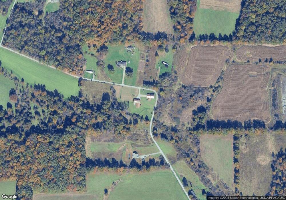
Map
Nearby Homes
- 0 Bedford Rd
- 0 Villa Marie Rd
- 960 S Hubbard Rd
- 277 W Walnut St
- 237 Watson St
- 4901 New Castle Rd
- 6565 Mccartney Rd
- 761 W Wood St
- 6102 Mccartney Rd
- 209 E Mc Gaffney Ave
- 720 Cherriwood Rd
- 816 Youngstown Lowellville Rd
- 987 Cherriwood Rd
- 1094 Pine Glenn Rd
- 3821 Evergreen Rd
- 825 Youngstown Lowellville Rd
- 4553 Marr Rd
- 0 Milligan Rd Unit 5148390
- 6040 Quarry Rd
- 4217 Hillsville Rd
- 722 Carlisle Rd
- 722 Carlisle St
- 6910 Houston Rd
- 384 Carl St
- 6820 Houston Rd
- 222 Carlisle Rd
- 1629 Bedford Rd
- 1515 Bedford Rd
- 1771 Bedford Rd
- 1555 Bedford Rd
- 156 Carol Dr
- 1577 Bedford Rd
- 1405 Bedford Rd
- 1705 Bedford Rd
- 1486 Bedford Rd
- 1741 Bedford Rd
- 1363 Bedford Rd
- 705 Mcbride Rd
- 1345 Bedford Rd
- 193 McBride Acres