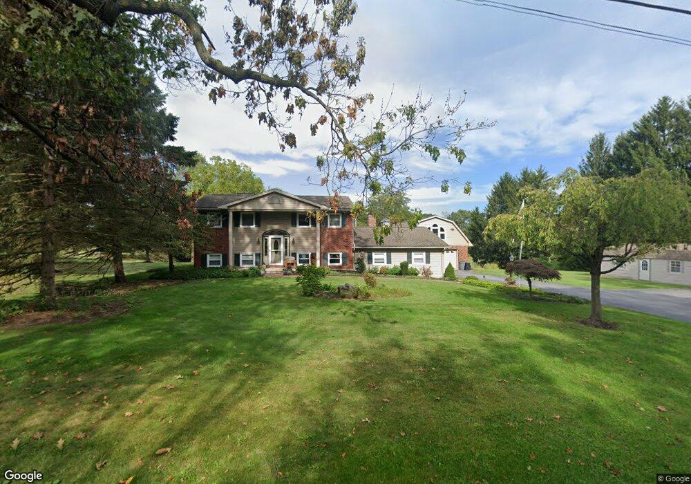
657 Cedar Rd Hershey, PA 17033
Estimated Value: $425,326 - $598,000
3
Beds
3
Baths
2,372
Sq Ft
$220/Sq Ft
Est. Value
About This Home
This home is located at 657 Cedar Rd, Hershey, PA 17033 and is currently estimated at $521,832, approximately $219 per square foot. 657 Cedar Rd is a home located in Dauphin County with nearby schools including Hershey Christian Academy and Milton Hershey School.
Ownership History
Date
Name
Owned For
Owner Type
Purchase Details
Closed on
Oct 1, 2015
Sold by
Illjes Theodore F and Illjes Carolyn M
Bought by
Harner Tyler G and Harner Georgeanna R
Current Estimated Value
Home Financials for this Owner
Home Financials are based on the most recent Mortgage that was taken out on this home.
Original Mortgage
$182,000
Outstanding Balance
$143,196
Interest Rate
3.88%
Mortgage Type
New Conventional
Estimated Equity
$378,636
Create a Home Valuation Report for This Property
The Home Valuation Report is an in-depth analysis detailing your home's value as well as a comparison with similar homes in the area
Purchase History
| Date | Buyer | Sale Price | Title Company |
|---|---|---|---|
| Harner Tyler G | $350,000 | None Available |
Source: Public Records
Mortgage History
| Date | Status | Borrower | Loan Amount |
|---|---|---|---|
| Open | Harner Tyler G | $182,000 |
Source: Public Records
Tax History
| Year | Tax Paid | Tax Assessment Tax Assessment Total Assessment is a certain percentage of the fair market value that is determined by local assessors to be the total taxable value of land and additions on the property. | Land | Improvement |
|---|---|---|---|---|
| 2025 | $3,870 | $133,800 | $21,600 | $112,200 |
| 2024 | $3,102 | $118,400 | $21,600 | $96,800 |
| 2023 | $3,102 | $118,400 | $21,600 | $96,800 |
| 2022 | $3,036 | $118,400 | $21,600 | $96,800 |
| 2021 | $3,036 | $118,400 | $21,600 | $96,800 |
| 2020 | $3,036 | $118,400 | $21,600 | $96,800 |
| 2019 | $3,036 | $118,400 | $21,600 | $96,800 |
| 2018 | $3,036 | $118,400 | $21,600 | $96,800 |
| 2017 | $3,036 | $118,400 | $21,600 | $96,800 |
| 2016 | $0 | $118,400 | $21,600 | $96,800 |
| 2015 | -- | $118,400 | $21,600 | $96,800 |
| 2014 | -- | $118,400 | $21,600 | $96,800 |
Source: Public Records
Map
Nearby Homes
- 303 Gates Rd
- Lot 9 Felty Mill Rd
- Lot 5 Felty Mill Rd
- Lot 8 Stauffers Church Rd
- Lot 6 Stauffers Church Rd
- 2 Plymouth Cir
- 214 William Dr
- 222 Robin Rd
- 0 Stauffers Church Rd Unit PADA2052308
- 3555 Roundtop Rd
- 1343 Church Rd
- 36 My Way Dr
- 24 24A Reo Dr
- 21 Bittersweet Dr
- 2709 Westhampton Terrace
- 2704 Westhampton Terrace
- 33 Sterling Ct
- 24 Glasgow Ct
- 555 Hilltop Rd
- 139 Lawn Rd
- 643 Cedar Rd
- 669 Cedar Rd
- 689 Cedar Rd
- 7 White Pine Dr
- 697 Cedar Rd
- 613 Cedar Rd
- 20 Beechwood Ln
- 15 Fox Chase Dr
- 709 Cedar Rd
- 10 White Pine Dr
- 17 White Pine Dr
- 21 Fox Chase Dr
- 23 Beechwood Ln
- 7 Fox Chase Dr
- 45 White Pine Dr
- 16 White Pine Dr
- 14 Beechwood Ln
- 410 Gates Rd
- 20 White Pine Dr
- 5 Fox Chase Dr
Your Personal Tour Guide
Ask me questions while you tour the home.