657 Corn Neck Rd Block Island, RI 02807
Estimated Value: $1,395,562 - $1,875,000
4
Beds
3
Baths
1,229
Sq Ft
$1,348/Sq Ft
Est. Value
About This Home
This home is located at 657 Corn Neck Rd, Block Island, RI 02807 and is currently estimated at $1,657,141, approximately $1,348 per square foot. 657 Corn Neck Rd is a home with nearby schools including Block Island School.
Ownership History
Date
Name
Owned For
Owner Type
Purchase Details
Closed on
Jun 23, 2017
Sold by
Dr Millard Harmon 2005 and Harmon
Bought by
Dr M Harmon 2017 Irt and Harmon
Current Estimated Value
Create a Home Valuation Report for This Property
The Home Valuation Report is an in-depth analysis detailing your home's value as well as a comparison with similar homes in the area
Home Values in the Area
Average Home Value in this Area
Purchase History
| Date | Buyer | Sale Price | Title Company |
|---|---|---|---|
| Dr M Harmon 2017 Irt | -- | -- |
Source: Public Records
Mortgage History
| Date | Status | Borrower | Loan Amount |
|---|---|---|---|
| Previous Owner | Dr M Harmon 2017 Irt | $500,000 |
Source: Public Records
Tax History
| Year | Tax Paid | Tax Assessment Tax Assessment Total Assessment is a certain percentage of the fair market value that is determined by local assessors to be the total taxable value of land and additions on the property. | Land | Improvement |
|---|---|---|---|---|
| 2025 | $4,886 | $848,300 | $494,300 | $354,000 |
| 2024 | $4,711 | $853,500 | $494,300 | $359,200 |
| 2023 | $5,138 | $853,500 | $494,300 | $359,200 |
| 2022 | $4,132 | $583,680 | $438,880 | $144,800 |
| 2021 | $3,911 | $583,680 | $438,880 | $144,800 |
| 2020 | $3,712 | $583,680 | $438,880 | $144,800 |
| 2019 | $3,595 | $583,680 | $438,880 | $144,800 |
| 2018 | $3,448 | $579,440 | $433,600 | $145,840 |
| 2017 | $3,396 | $579,440 | $433,600 | $145,840 |
| 2016 | $3,314 | $579,440 | $433,600 | $145,840 |
| 2015 | $4,034 | $732,200 | $542,000 | $190,200 |
| 2014 | $3,910 | $732,200 | $542,000 | $190,200 |
| 2013 | $3,815 | $732,200 | $542,000 | $190,200 |
Source: Public Records
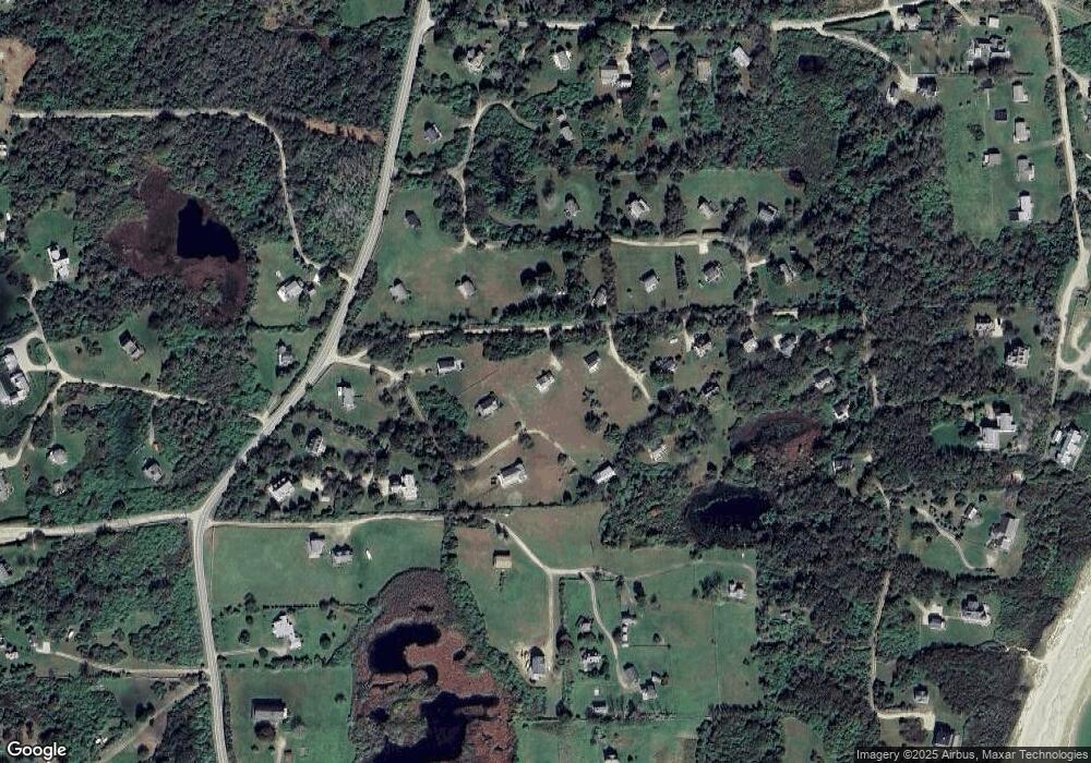
Map
Nearby Homes
- 1720 Corn Neck Rd
- 1713 Corn Neck Rd
- 721 Corn Neck Rd
- 751 Corn Neck Rd
- 1202 W Side Rd
- 454 Ocean Ave
- 557 Center Rd
- 1210 Graces Cove Rd
- 256 High St
- 1501 Beacon Hill Rd
- 1289 High St
- 1800 High St
- 1557 W Side Rd
- 1627 Old Mill Rd
- 194 Pilot Hill Rd
- 0 Southeast Rd Unit 1381406
- 1087 Lakeside Dr
- 1661 Sand Pond Rd
- 0 Pilot Hill Rd
- 804 Mohegan Trail
- 655 Corn Neck Rd
- 685 Corn Neck Rd
- 669 Corn Neck Rd
- 656 Corn Neck Rd
- 654 Corn Neck Rd
- 653 Corn Neck Rd
- 684 Corn Neck Rd
- 672 Corn Neck Rd
- 678 Corn Neck Rd
- 652 Corn Neck Rd
- 637 Corn Neck Rd
- 608 Corn Neck Rd
- 679 Corn Neck Rd
- 683 Corn Neck Rd
- 649 Corn Neck Rd
- 1763R Corn Neck Rd
- 673 Corn Neck Rd
- 680 Corn Neck Rd
- 650 Corn Neck Rd
- 677 Corn Neck Rd
Your Personal Tour Guide
Ask me questions while you tour the home.