Estimated Value: $222,000 - $245,000
Studio
--
Bath
2,150
Sq Ft
$108/Sq Ft
Est. Value
About This Home
This home is located at 657 Doty Rd, Vidor, TX 77662 and is currently estimated at $232,992, approximately $108 per square foot. 657 Doty Rd is a home located in Orange County.
Ownership History
Date
Name
Owned For
Owner Type
Purchase Details
Closed on
Feb 15, 2012
Sold by
Wilkins David M
Bought by
Collins Ernest
Current Estimated Value
Purchase Details
Closed on
Sep 25, 2006
Sold by
Ellis Sheila and Lockhart Robin
Bought by
Wilkins David M and Wilkins Loretta R
Home Financials for this Owner
Home Financials are based on the most recent Mortgage that was taken out on this home.
Original Mortgage
$675
Interest Rate
6.26%
Mortgage Type
Seller Take Back
Purchase Details
Closed on
Aug 10, 2005
Sold by
Godwin Camaro B
Bought by
Wilkins David M
Create a Home Valuation Report for This Property
The Home Valuation Report is an in-depth analysis detailing your home's value as well as a comparison with similar homes in the area
Home Values in the Area
Average Home Value in this Area
Purchase History
| Date | Buyer | Sale Price | Title Company |
|---|---|---|---|
| Collins Ernest | -- | Ernest Collins | |
| Wilkins David M | -- | Sheila Ellis | |
| Wilkins David M | -- | -- | |
| Wilkins David M | -- | -- |
Source: Public Records
Mortgage History
| Date | Status | Borrower | Loan Amount |
|---|---|---|---|
| Previous Owner | Wilkins David M | $675 |
Source: Public Records
Tax History
| Year | Tax Paid | Tax Assessment Tax Assessment Total Assessment is a certain percentage of the fair market value that is determined by local assessors to be the total taxable value of land and additions on the property. | Land | Improvement |
|---|---|---|---|---|
| 2025 | $2,670 | $187,295 | $15,885 | $171,410 |
| 2024 | $1,238 | $182,145 | $15,885 | $166,260 |
| 2023 | $2,227 | $145,615 | $15,885 | $129,730 |
| 2022 | $1,536 | $131,590 | $10,590 | $121,000 |
| 2021 | $2,192 | $117,865 | $10,590 | $112,190 |
| 2020 | $2,054 | $107,150 | $10,590 | $96,560 |
| 2019 | $1,892 | $97,880 | $10,590 | $87,290 |
| 2018 | $995 | $52,120 | $10,590 | $41,530 |
| 2017 | $1,255 | $93,660 | $10,590 | $83,070 |
| 2016 | $1,677 | $87,850 | $10,590 | $77,260 |
| 2015 | $1,220 | $85,606 | $10,590 | $75,016 |
| 2014 | $1,220 | $84,562 | $10,590 | $73,972 |
Source: Public Records
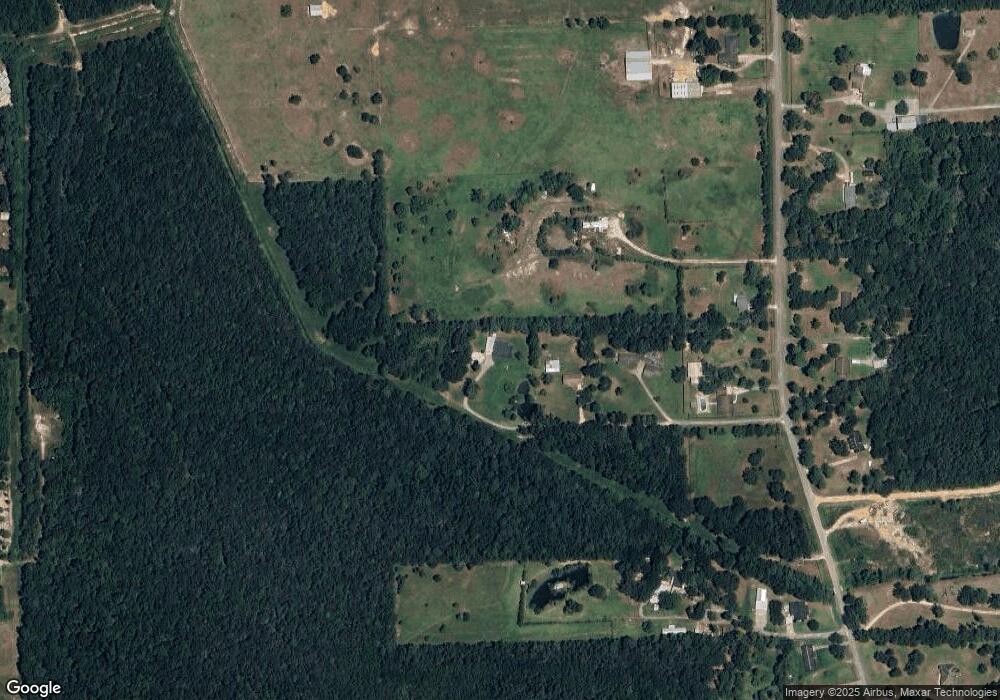
Map
Nearby Homes
- 0 Fm 1132 Unit 93970706
- 3530 Evangeline Dr
- 3540 Evangeline Dr
- 3665 E Railroad St
- 1025 Strickland St
- 3118 Flora St
- 4585 Eaves Rd
- 260 Lawrence Ln
- 4595 Eaves Rd
- 305 Oakland Dr
- tbd Oakland St
- 16595 Interstate 10
- 410 Lee Ln
- 425 Lawrence Ln
- 970 S Mayhaw Dr
- 2950 Highway 90
- 2950 Old Highway 90 E
- 605 N Lakeside St
- 3455 Michelle Ave
- 4560 Townsend Dr
Your Personal Tour Guide
Ask me questions while you tour the home.