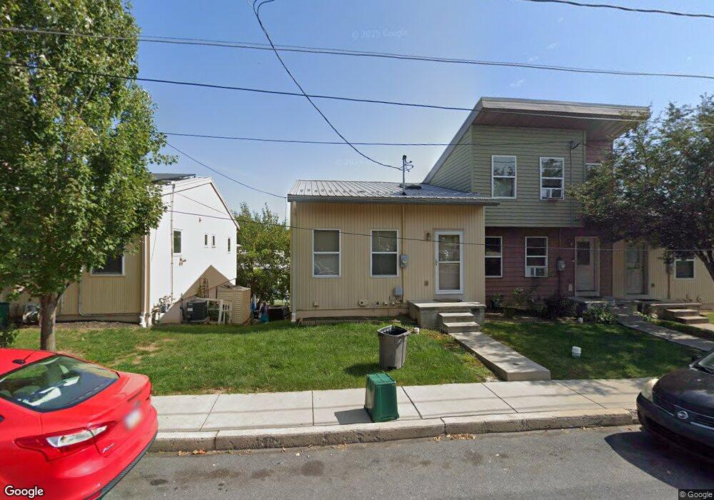
657 Fairview Ave Lancaster, PA 17603
Prospect Heights NeighborhoodEstimated Value: $266,000 - $311,982
4
Beds
2
Baths
1,210
Sq Ft
$239/Sq Ft
Est. Value
About This Home
This home is located at 657 Fairview Ave, Lancaster, PA 17603 and is currently estimated at $289,496, approximately $239 per square foot. 657 Fairview Ave is a home with nearby schools including Price Elementary School, Jackson Middle School, and McCaskey High School.
Ownership History
Date
Name
Owned For
Owner Type
Purchase Details
Closed on
Jul 24, 2015
Sold by
Lancaster Area Habitat For Humanity Inc
Bought by
Galdi Addise B
Current Estimated Value
Home Financials for this Owner
Home Financials are based on the most recent Mortgage that was taken out on this home.
Original Mortgage
$133,036
Outstanding Balance
$108,038
Interest Rate
4.01%
Mortgage Type
Seller Take Back
Estimated Equity
$181,458
Create a Home Valuation Report for This Property
The Home Valuation Report is an in-depth analysis detailing your home's value as well as a comparison with similar homes in the area
Home Values in the Area
Average Home Value in this Area
Purchase History
| Date | Buyer | Sale Price | Title Company |
|---|---|---|---|
| Galdi Addise B | $140,000 | Attorney |
Source: Public Records
Mortgage History
| Date | Status | Borrower | Loan Amount |
|---|---|---|---|
| Open | Galdi Addise B | $133,036 |
Source: Public Records
Tax History Compared to Growth
Tax History
| Year | Tax Paid | Tax Assessment Tax Assessment Total Assessment is a certain percentage of the fair market value that is determined by local assessors to be the total taxable value of land and additions on the property. | Land | Improvement |
|---|---|---|---|---|
| 2025 | $5,777 | $146,000 | $26,800 | $119,200 |
| 2024 | $5,777 | $146,000 | $26,800 | $119,200 |
| 2023 | $5,680 | $146,000 | $26,800 | $119,200 |
| 2022 | $5,443 | $146,000 | $26,800 | $119,200 |
| 2021 | $5,327 | $146,000 | $26,800 | $119,200 |
| 2020 | $5,327 | $146,000 | $26,800 | $119,200 |
| 2019 | $5,247 | $146,000 | $26,800 | $119,200 |
| 2018 | $1,152 | $146,000 | $26,800 | $119,200 |
| 2017 | $5,457 | $118,800 | $26,100 | $92,700 |
| 2016 | $5,407 | $118,800 | $26,100 | $92,700 |
| 2015 | $629 | $23,500 | $23,500 | $0 |
| 2014 | $933 | $23,500 | $23,500 | $0 |
Source: Public Records
Map
Nearby Homes
- 543 S Prince St
- 828 Highland Ave
- 825 S Pearl St
- 472 New Dorwart St
- 471 New Dorwart St
- 641 S Queen St
- 56 Greenwood Ave
- 429 Hillside Ave
- 506 Beaver St
- 449 Hershey Ave
- 1052 Union St
- 758 Fremont St
- 459 S Queen St
- 1014 Willow Street Pike Unit 8
- 348 S Prince St
- 346 S Prince St
- 665 Fremont St
- 659 Fremont St
- 706 Poplar St
- 1211 Wabank Rd
- 659 Fairview Ave
- 655 Fairview Ave
- 661 Fairview Ave
- 653 Fairview Ave
- 651 Fairview Ave
- 649 Fairview Ave
- 663 Fairview Ave
- 665 Fairview Ave
- 647 Fairview Ave
- 879 Hilton Dr
- 645 Fairview Ave
- 875 Hilton Dr
- 669 Fairview Ave
- 643 Fairview Ave
- 250 Seymour St
- 858 Garnet Ave
- 873 Hilton Dr
- 671 Fairview Ave
- 641 Fairview Ave
- 876 Hilton Dr