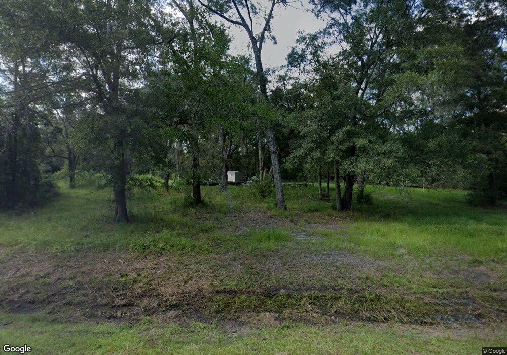
657 Honeygal Rd Brunswick, GA 31525
Estimated Value: $50,413 - $247,000
--
Bed
--
Bath
--
Sq Ft
2.15
Acres
About This Home
This home is located at 657 Honeygal Rd, Brunswick, GA 31525 and is currently estimated at $148,707. 657 Honeygal Rd is a home with nearby schools including Sterling Elementary School, Jane Macon Middle School, and Brunswick High School.
Ownership History
Date
Name
Owned For
Owner Type
Purchase Details
Closed on
Jun 5, 2020
Sold by
Marshland Community Federal Cr Un
Bought by
Nobles Jamaal D
Current Estimated Value
Home Financials for this Owner
Home Financials are based on the most recent Mortgage that was taken out on this home.
Original Mortgage
$20,400
Outstanding Balance
$14,078
Interest Rate
3.2%
Mortgage Type
New Conventional
Estimated Equity
$134,629
Purchase Details
Closed on
Mar 3, 2020
Sold by
Floyd Lowell C
Bought by
Marshland Community Federal Cr Un
Purchase Details
Closed on
Mar 9, 2018
Sold by
Floyd Lowell C
Bought by
Nobles Paul M
Purchase Details
Closed on
Feb 4, 2009
Sold by
Floyd Lowell C
Bought by
Floyd Lowell C
Create a Home Valuation Report for This Property
The Home Valuation Report is an in-depth analysis detailing your home's value as well as a comparison with similar homes in the area
Home Values in the Area
Average Home Value in this Area
Purchase History
| Date | Buyer | Sale Price | Title Company |
|---|---|---|---|
| Nobles Jamaal D | $25,500 | -- | |
| Marshland Community Federal Cr Un | $23,000 | -- | |
| Nobles Paul M | $1,000 | -- | |
| Floyd Lowell C | $27,299 | -- |
Source: Public Records
Mortgage History
| Date | Status | Borrower | Loan Amount |
|---|---|---|---|
| Open | Nobles Jamaal D | $20,400 |
Source: Public Records
Tax History Compared to Growth
Tax History
| Year | Tax Paid | Tax Assessment Tax Assessment Total Assessment is a certain percentage of the fair market value that is determined by local assessors to be the total taxable value of land and additions on the property. | Land | Improvement |
|---|---|---|---|---|
| 2024 | $124 | $4,960 | $4,360 | $600 |
| 2023 | $122 | $4,960 | $4,360 | $600 |
| 2022 | $124 | $4,960 | $4,360 | $600 |
| 2021 | $134 | $5,200 | $4,600 | $600 |
| 2020 | $136 | $5,200 | $4,600 | $600 |
| 2019 | $136 | $5,200 | $4,600 | $600 |
| 2018 | $134 | $5,120 | $4,520 | $600 |
| 2017 | $134 | $5,120 | $4,520 | $600 |
| 2016 | $123 | $5,120 | $4,520 | $600 |
| 2015 | $209 | $8,680 | $8,080 | $600 |
| 2014 | $209 | $8,680 | $8,080 | $600 |
Source: Public Records
Map
Nearby Homes
- 23 Merritt Trace
- 5406 Old Jesup Rd
- 10004 Woodland Cove
- 10016 Woodland Cove
- 11033 Woodland Trail
- The Birch Plan at Woodland Cove
- The Magnolia Plan at Woodland Cove
- The Dogwood Plan at Woodland Cove
- 11027 Woodland Trail
- 10032 Woodland Cove
- 197 Acorn Dr
- 11026 Woodland Trail
- 11040 Woodland Trail
- 10035 Woodland Cove
- 203 Green Cove Dr
- 125 Greencove Dr
- 62 E Chapel Dr
- 48 E Chapel Dr
- 46 E Chapel Dr
- 52 E Chapel Dr
- 633 Honeygal Rd
- 673 Honeygal Rd
- 621 Honeygal Rd
- 617 Honeygal Rd
- 611 Honeygal Rd
- 652 Honeygal Rd
- 644 Honeygal Rd
- 608 Honeygal Rd
- 676 Honeygal Rd
- 0 Honeygal Rd Unit 401455
- 0 Honeygal Rd Unit 7017483
- 0 Honeygal Rd
- 600 Honeygal Rd
- 447 Honeygal Rd
- 592 Honeygal Rd
- 778 Honeygal Rd
- 554 Honeygal Rd
- 595 Honeygal Rd
- 490 Honeygal Rd
- 25 Honeygal Landing