Estimated Value: $114,000 - $184,000
--
Bed
--
Bath
952
Sq Ft
$149/Sq Ft
Est. Value
About This Home
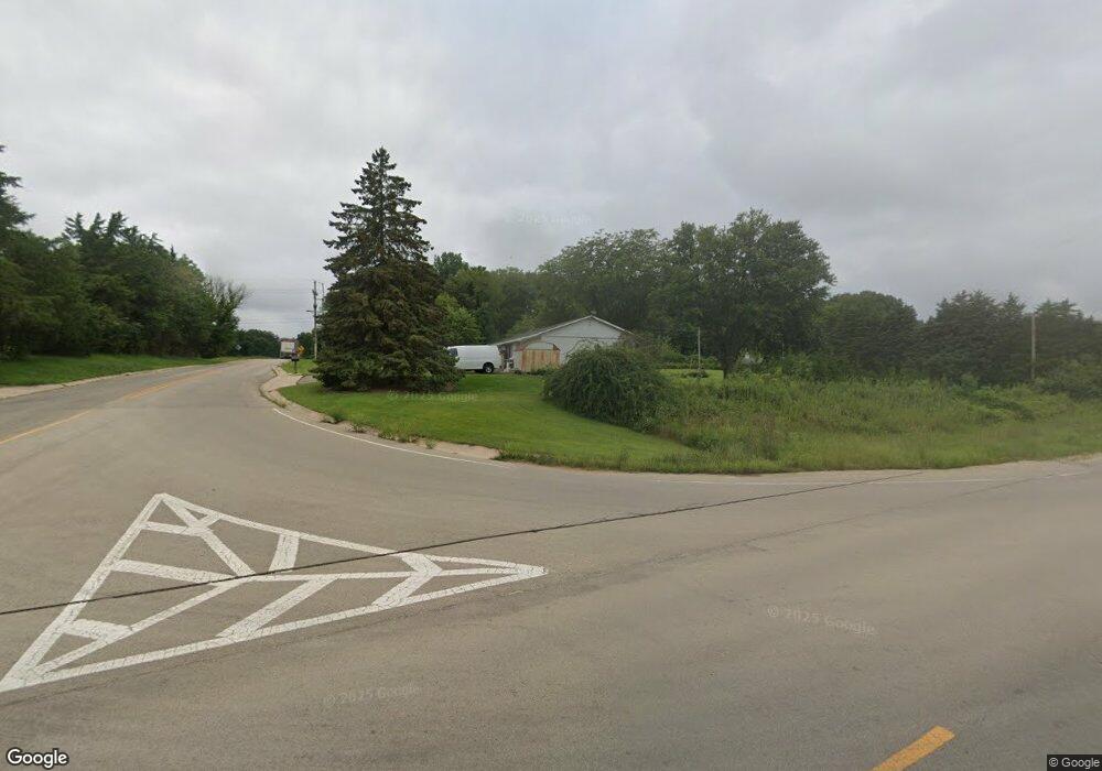
This home is located at 657 Lamoille Rd, Amboy, IL 61310 and is currently estimated at $142,141, approximately $149 per square foot. 657 Lamoille Rd is a home located in Lee County with nearby schools including Amboy Central Elementary School, Amboy Junior High School, and Amboy High School.
Ownership History
Date
Name
Owned For
Owner Type
Purchase Details
Closed on
May 27, 2005
Sold by
Mcguire Grant A and Manning Vicki L
Bought by
Anderson Glen J and Anderson Deanna G
Current Estimated Value
Home Financials for this Owner
Home Financials are based on the most recent Mortgage that was taken out on this home.
Original Mortgage
$76,000
Outstanding Balance
$40,059
Interest Rate
5.91%
Mortgage Type
New Conventional
Estimated Equity
$102,082
Create a Home Valuation Report for This Property
The Home Valuation Report is an in-depth analysis detailing your home's value as well as a comparison with similar homes in the area
Home Values in the Area
Average Home Value in this Area
Purchase History
| Date | Buyer | Sale Price | Title Company |
|---|---|---|---|
| Anderson Glen J | $116,000 | Lee Co Title & Abstract |
Source: Public Records
Mortgage History
| Date | Status | Borrower | Loan Amount |
|---|---|---|---|
| Open | Anderson Glen J | $76,000 |
Source: Public Records
Tax History Compared to Growth
Tax History
| Year | Tax Paid | Tax Assessment Tax Assessment Total Assessment is a certain percentage of the fair market value that is determined by local assessors to be the total taxable value of land and additions on the property. | Land | Improvement |
|---|---|---|---|---|
| 2024 | $2,562 | $36,718 | $5,300 | $31,418 |
| 2023 | $2,355 | $31,929 | $4,609 | $27,320 |
| 2022 | $2,224 | $29,292 | $4,228 | $25,064 |
| 2021 | $2,348 | $30,500 | $4,051 | $26,449 |
| 2020 | $2,326 | $29,612 | $3,933 | $25,679 |
| 2019 | $1,850 | $28,749 | $3,818 | $24,931 |
| 2018 | $1,763 | $27,380 | $3,636 | $23,744 |
| 2017 | $2,039 | $27,278 | $2,880 | $24,398 |
| 2016 | $1,211 | $27,278 | $2,880 | $24,398 |
| 2015 | $1,210 | $27,278 | $2,880 | $24,398 |
| 2014 | $1,204 | $27,278 | $2,880 | $24,398 |
| 2013 | $1,772 | $35,144 | $2,932 | $32,212 |
Source: Public Records
Map
Nearby Homes
- 9/46 Woodhaven Dr
- 8/110 Woodhaven Dr
- 1/136&137 Woodhaven Dr
- 4/2 Woodhaven Dr
- 16/158 Woodhaven Dr
- 2/292 Woodhaven Dr
- 21/211 Woodhaven Dr
- 17/100 Woodhaven Dr
- 2/141&142 Woodhaven Dr
- 22/103 Woodhaven
- 29/140 Woodhaven Dr E
- 2/262 Woodhaven Dr E
- 21-204 Woodhaven Dr E
- 6/45 Woodhaven Dr E
- 28/141 Woodhaven Dr E
- 21/197 Woodhaven Dr E
- 8/36 Woodhaven Dr E
- 13/86 Woodhaven Dr E
- 16/46 Woodhaven Dr E
- 15/185 Woodhaven Dr E
- 669 Us Highway 52
- 672 Us Highway 52
- 683 Searls Rd
- 690 Searls Rd
- 691 Searls Rd
- 698 Searls Rd
- 1850 Richardson Rd
- 699 Searls Rd
- 1854 Richardson Rd
- 1860 Richardson Rd
- 701 Searls Rd
- 1874 Richardson Rd
- 715 Searls Rd
- 1878 Richardson Rd
- 719 Searls Rd
- 1875 Richardson Rd
- 1884 Richardson Rd
- 1885 Richardson Rd
- 730 Searls Rd
- 1883 Richardson Rd