Estimated Value: $350,565 - $463,000
Studio
3
Baths
2,594
Sq Ft
$159/Sq Ft
Est. Value
About This Home
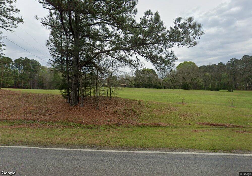
This home is located at 657 Lite N Tie Rd, Gray, GA 31032 and is currently estimated at $412,141, approximately $158 per square foot. 657 Lite N Tie Rd is a home located in Jones County with nearby schools including Turner Woods Elementary School, Gray Station Middle School, and Jones County High School.
Ownership History
Date
Name
Owned For
Owner Type
Purchase Details
Closed on
Apr 29, 2011
Sold by
Lawson J Allen
Bought by
Young David Wayne
Current Estimated Value
Home Financials for this Owner
Home Financials are based on the most recent Mortgage that was taken out on this home.
Original Mortgage
$196,000
Outstanding Balance
$125,698
Interest Rate
3.5%
Mortgage Type
New Conventional
Estimated Equity
$286,443
Purchase Details
Closed on
Mar 26, 2010
Sold by
Lawson Tonya D
Bought by
Lawson J Allen
Purchase Details
Closed on
Mar 18, 1999
Bought by
Brown Martha
Create a Home Valuation Report for This Property
The Home Valuation Report is an in-depth analysis detailing your home's value as well as a comparison with similar homes in the area
Home Values in the Area
Average Home Value in this Area
Purchase History
| Date | Buyer | Sale Price | Title Company |
|---|---|---|---|
| Young David Wayne | $245,000 | -- | |
| Lawson J Allen | -- | -- | |
| Brown Martha | -- | -- |
Source: Public Records
Mortgage History
| Date | Status | Borrower | Loan Amount |
|---|---|---|---|
| Open | Lawson J Allen | $196,000 |
Source: Public Records
Tax History Compared to Growth
Tax History
| Year | Tax Paid | Tax Assessment Tax Assessment Total Assessment is a certain percentage of the fair market value that is determined by local assessors to be the total taxable value of land and additions on the property. | Land | Improvement |
|---|---|---|---|---|
| 2025 | $2,295 | $115,447 | $56,823 | $58,624 |
| 2023 | $1,970 | $83,970 | $37,882 | $46,088 |
| 2022 | $1,931 | $82,076 | $35,988 | $46,088 |
| 2021 | $1,928 | $82,076 | $35,988 | $46,088 |
| 2020 | $1,925 | $82,076 | $35,988 | $46,088 |
| 2019 | $1,920 | $82,076 | $35,988 | $46,088 |
| 2018 | $1,916 | $82,076 | $35,988 | $46,088 |
| 2017 | $1,911 | $82,076 | $35,988 | $46,088 |
| 2016 | $1,911 | $82,076 | $35,988 | $46,088 |
| 2015 | $1,804 | $82,076 | $0 | $0 |
| 2014 | $1,545 | $82,076 | $0 | $0 |
Source: Public Records
Map
Nearby Homes
- 615 Lite N Tie Rd
- 134 Royal Ln
- 332 Hickory Ln
- 041 Hickory Ln
- Lot 133 Creekside Dr
- 664 Aarons Cir
- 354 Lite N Tie Rd
- 509 Aaron
- 509 Aarons Cir
- 140 Lite-N-tie Rd
- 354 Pineview Rd
- 0 Braswell Lake Rd
- 226 Amy Ln
- 229 Lite N Tie Rd
- 814 Natures Walk
- 203 Hidden Lakes Dr
- 156 Rose Down Ave
- 122 Allan Green Dr
- 118 Allan Green Dr
- 238 Hidden Lakes Dr
- 661 Lite N Tie Rd
- 650 Lite N Tie Rd
- 640 Lite N Tie Rd
- 605 Lite N Tie Rd
- 333 Jonelle Dr
- 670 Lite N Tie Rd
- 597 Lite N Tie Rd
- 678 Lite N Tie Rd
- 664 Lite N Tie Rd
- O Nelle Dr
- 224 Nelle Dr
- 353 Jonelle Dr
- 594 Creekside Dr
- 583 Lite N Tie Rd
- 583 Lite-N-tie Rd
- 225 Nelle Dr
- 588 Lite N Tie Rd
- 364 Jonelle Dr
- 598 Creekside Dr
- 232 Oak Ridge Dr
