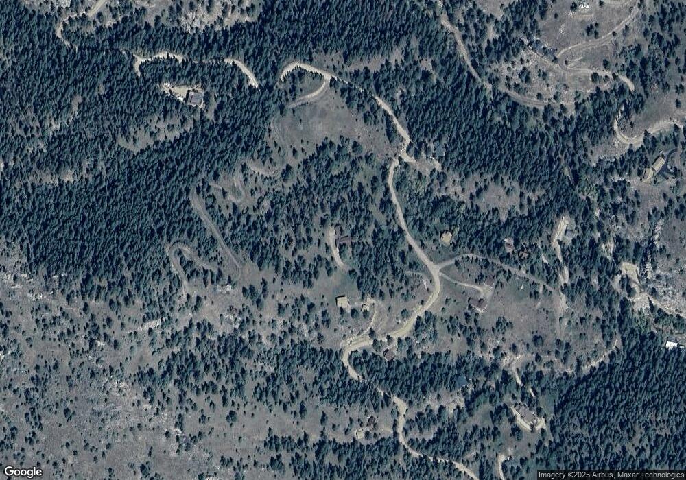
657 Miller Fork Rd Glen Haven, CO 80532
Estimated Value: $559,000 - $782,000
2
Beds
1
Bath
1,124
Sq Ft
$594/Sq Ft
Est. Value
About This Home
This home is located at 657 Miller Fork Rd, Glen Haven, CO 80532 and is currently estimated at $667,784, approximately $594 per square foot. 657 Miller Fork Rd is a home with nearby schools including Estes Park K-5 School, Estes Park Options School, and Estes Park Middle School.
Ownership History
Date
Name
Owned For
Owner Type
Purchase Details
Closed on
Aug 27, 2025
Sold by
Conrad Ernest D and Conrad Lila M
Bought by
Conrad Ernest D and Conrad Lila M
Current Estimated Value
Purchase Details
Closed on
Apr 10, 2000
Sold by
Manchester John K
Bought by
Conrad Ernest D and Conrad Lila M
Home Financials for this Owner
Home Financials are based on the most recent Mortgage that was taken out on this home.
Original Mortgage
$196,000
Interest Rate
7.5%
Purchase Details
Closed on
Nov 29, 1998
Sold by
Manchester John K Janet S
Bought by
Manchester John K
Create a Home Valuation Report for This Property
The Home Valuation Report is an in-depth analysis detailing your home's value as well as a comparison with similar homes in the area
Home Values in the Area
Average Home Value in this Area
Purchase History
| Date | Buyer | Sale Price | Title Company |
|---|---|---|---|
| Conrad Ernest D | -- | None Listed On Document | |
| Conrad Ernest D | $245,000 | -- | |
| Manchester John K | -- | -- |
Source: Public Records
Mortgage History
| Date | Status | Borrower | Loan Amount |
|---|---|---|---|
| Previous Owner | Conrad Ernest D | $196,000 |
Source: Public Records
Tax History Compared to Growth
Tax History
| Year | Tax Paid | Tax Assessment Tax Assessment Total Assessment is a certain percentage of the fair market value that is determined by local assessors to be the total taxable value of land and additions on the property. | Land | Improvement |
|---|---|---|---|---|
| 2025 | $2,222 | $42,893 | $11,390 | $31,503 |
| 2024 | $2,196 | $42,893 | $11,390 | $31,503 |
| 2022 | $1,632 | $29,767 | $6,950 | $22,817 |
| 2021 | $1,677 | $30,623 | $7,150 | $23,473 |
| 2020 | $1,469 | $27,399 | $5,649 | $21,750 |
| 2019 | $1,458 | $27,399 | $5,649 | $21,750 |
| 2018 | $1,116 | $22,198 | $6,336 | $15,862 |
| 2017 | $1,122 | $22,198 | $6,336 | $15,862 |
| 2016 | $1,002 | $21,858 | $7,005 | $14,853 |
| 2015 | $989 | $21,850 | $7,000 | $14,850 |
| 2014 | $983 | $22,160 | $7,560 | $14,600 |
Source: Public Records
Map
Nearby Homes
- 1102 Miller Fork Rd
- 84 Copper Hill Rd
- 1035 Streamside Dr
- 957 Dunraven Glade Rd
- 575 Bulwark Ridge Dr
- 416 Black Creek Dr
- 317 Dunraven Glade Rd
- 0 Miller Fork Rd Unit 1047651
- 532 Elkridge Dr
- 280 Streamside Dr
- 227 Streamside Dr
- 66 Circle Dr
- 7294 County Road 43
- 105 Fox Creek Rd
- 331 Fox Creek Rd
- 0 Dunraven Glade Rd Unit 1047641
- 10697 County Road 43
- 755 Fox Creek Rd
- 6781 County Road 43
- 163 W Creek Rd
- 1908 Miller Fork Rd
- 684 Miller Fork Rd
- 722 Miller Fork Rd
- 1473 Streamside Dr
- 550 Miller Fork Rd
- 1375 Streamside Dr
- 1438 Streamside Dr
- 766 N Fork Rd
- 1301 Streamside Dr
- 100 Fishermans Ln
- 0 Miller Fork Unit 775749
- 0 Miller Fork Unit 790427
- 0 Miller Fork Unit 805937
- 766 Miller Fork Rd
- 443 Miller Fork Rd
- 1422 Streamside Dr
- 1249 Streamside Dr
- 1230 Streamside Dr
- 320 Fishermans Ln
- 377 Miller Fork Rd
