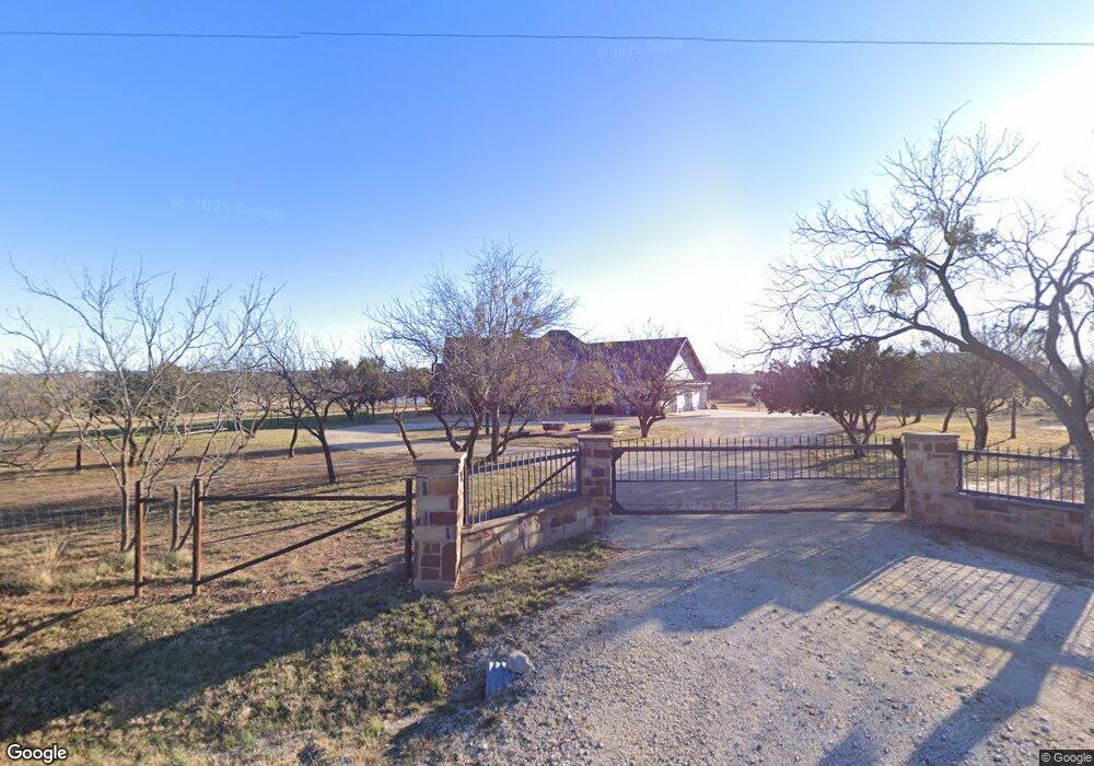
657 Pollard Rd Abilene, TX 79602
Estimated Value: $568,000 - $721,503
4
Beds
3
Baths
2,869
Sq Ft
$225/Sq Ft
Est. Value
About This Home
This home is located at 657 Pollard Rd, Abilene, TX 79602 and is currently estimated at $644,752, approximately $224 per square foot. 657 Pollard Rd is a home located in Taylor County with nearby schools including Wylie West Early Childhood Center, Wylie West Intermediate School, and Wylie West Elementary School.
Ownership History
Date
Name
Owned For
Owner Type
Purchase Details
Closed on
Feb 1, 2017
Sold by
Conner Tim and Conner Teresa J
Bought by
Pursley Brad and Pursley Kelly
Current Estimated Value
Purchase Details
Closed on
Dec 21, 2009
Sold by
Feagan Richard W and Feagan Kathleen
Bought by
Pursley Bradley and Pursley Kelly
Purchase Details
Closed on
Dec 19, 2008
Sold by
Orr Clarke Putnam
Bought by
Feagan Richard W and Feagan Kathleen
Create a Home Valuation Report for This Property
The Home Valuation Report is an in-depth analysis detailing your home's value as well as a comparison with similar homes in the area
Home Values in the Area
Average Home Value in this Area
Purchase History
| Date | Buyer | Sale Price | Title Company |
|---|---|---|---|
| Pursley Brad | -- | Big Country Title Llc | |
| Pursley Bradley | -- | Big Country Title Services L | |
| Feagan Richard W | -- | Big Country Title |
Source: Public Records
Tax History
| Year | Tax Paid | Tax Assessment Tax Assessment Total Assessment is a certain percentage of the fair market value that is determined by local assessors to be the total taxable value of land and additions on the property. | Land | Improvement |
|---|---|---|---|---|
| 2025 | $6,599 | $459,701 | $13,766 | $445,935 |
| 2023 | $6,599 | $431,538 | $0 | $0 |
| 2022 | $6,251 | $391,304 | $0 | $0 |
| 2021 | $6,345 | $354,782 | $0 | $0 |
| 2020 | $6,091 | $332,655 | $0 | $0 |
| 2019 | $5,976 | $312,469 | $0 | $0 |
| 2018 | $5,255 | $304,092 | $0 | $0 |
| 2017 | $4,986 | $299,447 | $0 | $0 |
| 2016 | $4,700 | $282,260 | $0 | $0 |
| 2015 | $4,108 | $276,084 | $0 | $0 |
| 2014 | $4,108 | $275,014 | $0 | $0 |
Source: Public Records
Map
Nearby Homes
- 107 Logan Trail
- 120 Logan Trail
- 117 Logan Trail
- 127 Logan Trail
- 147 Logan Trail
- 198 Laken Ridge
- 137 Logan Trail
- 148 Laken Ridge
- 188 Laken Ridge
- 158 Laken Ridge
- Lot 4 Palomino
- Lot 2 Palomino
- Lot 3 250 Palomino
- Lot 1 Palomino
- 187 Waterloo Dr
- 199 Waterloo Dr
- 160 Showdown Rd
- 2024 High Noon Rd
- 1944 Piddle Paddle
- 434 Waterloo Dr