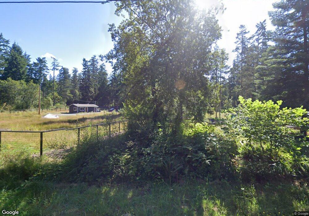
657 SW Camano Dr Camano Island, WA 98282
Estimated Value: $464,954 - $560,000
2
Beds
2
Baths
1,344
Sq Ft
$381/Sq Ft
Est. Value
About This Home
This home is located at 657 SW Camano Dr, Camano Island, WA 98282 and is currently estimated at $512,239, approximately $381 per square foot. 657 SW Camano Dr is a home located in Island County with nearby schools including Utsalady Elementary School, Port Susan Middle School, and Stanwood High School.
Ownership History
Date
Name
Owned For
Owner Type
Purchase Details
Closed on
Jul 30, 2025
Sold by
Oetjens Patricia A and Dalesio Ronald W
Bought by
Guisleman Ronald D and Guisleman Kristina I
Current Estimated Value
Home Financials for this Owner
Home Financials are based on the most recent Mortgage that was taken out on this home.
Original Mortgage
$20,128
Outstanding Balance
$19,510
Interest Rate
6.77%
Mortgage Type
FHA
Estimated Equity
$492,729
Purchase Details
Closed on
Nov 22, 2005
Sold by
Dalesio Ronald W
Bought by
Dalesio Ronald W and Oetjens Paticia A
Home Financials for this Owner
Home Financials are based on the most recent Mortgage that was taken out on this home.
Original Mortgage
$191,900
Interest Rate
5.97%
Mortgage Type
New Conventional
Create a Home Valuation Report for This Property
The Home Valuation Report is an in-depth analysis detailing your home's value as well as a comparison with similar homes in the area
Home Values in the Area
Average Home Value in this Area
Purchase History
| Date | Buyer | Sale Price | Title Company |
|---|---|---|---|
| Guisleman Ronald D | $512,500 | Chicago Title | |
| Dalesio Ronald W | -- | First Amer Title Skagit Cnty |
Source: Public Records
Mortgage History
| Date | Status | Borrower | Loan Amount |
|---|---|---|---|
| Open | Guisleman Ronald D | $20,128 | |
| Open | Guisleman Ronald D | $503,216 | |
| Previous Owner | Dalesio Ronald W | $191,900 |
Source: Public Records
Tax History Compared to Growth
Tax History
| Year | Tax Paid | Tax Assessment Tax Assessment Total Assessment is a certain percentage of the fair market value that is determined by local assessors to be the total taxable value of land and additions on the property. | Land | Improvement |
|---|---|---|---|---|
| 2024 | $3,550 | $466,671 | $240,000 | $226,671 |
| 2023 | $3,550 | $459,567 | $230,000 | $229,567 |
| 2022 | $3,256 | $450,497 | $240,000 | $210,497 |
| 2021 | $3,125 | $348,264 | $170,000 | $178,264 |
| 2020 | $3,190 | $324,032 | $150,000 | $174,032 |
| 2019 | $2,708 | $326,828 | $200,000 | $126,828 |
| 2018 | $2,771 | $277,227 | $150,000 | $127,227 |
| 2017 | $2,464 | $263,027 | $135,000 | $128,027 |
| 2016 | $1,720 | $259,629 | $130,000 | $129,629 |
| 2015 | -- | $172,379 | $49,200 | $123,179 |
| 2013 | -- | $175,156 | $49,200 | $125,956 |
Source: Public Records
Map
Nearby Homes
- 615 SW Camano Dr
- 740 Commodore Ln
- 695 Blacktail Ln
- 24 Malabar Dr
- 864 Saratoga Way
- 522 Chapman Rd
- 896 Henry Ln
- 596 Forrest Way
- 945 Secord Ct
- 928 Secord Ct
- 993 NW Camano Dr
- 0 xxxb S Dove Dr
- 304 S Dove Dr
- 0 xxxa S Dove Dr
- 10 xx S Falcon Rd
- 988 Hadley Way
- 998 Circle Dr
- 592 Kodiak Ave
- 945 Rowe Rd
- 2 Xx Woodland Beach Rd
- 657 SW Camano Dr
- 758 Cheryl Ann Dr
- 669 SW Camano Dr
- 637 SW Camano Dr
- 791 Cheryl Ann Dr
- 756 Cheryl Ann Dr
- 754 Cheryl Ann Dr
- 753 Cheryl Ann Dr
- 771 Cheryl Ann Dr
- 693 SW Camano Dr
- 1354 S West Camano Dr
- 615 SW Camano Dr
- 664 Comfort Ct
- 733 Cheryl Ann Dr
- 638 Comfort Ct
- 611 SW Camano Dr
- 720 W Camano Dr
- 0 Comfort Ct Unit NWM1893000
- 710 Cheryl Ann Dr
- 631 Comfort Ct