657 Tom McGinnis Rd Dawsonville, GA 30534
Dawson County NeighborhoodEstimated Value: $684,000 - $976,000
3
Beds
2
Baths
1,688
Sq Ft
$490/Sq Ft
Est. Value
About This Home
This home is located at 657 Tom McGinnis Rd, Dawsonville, GA 30534 and is currently estimated at $827,363, approximately $490 per square foot. 657 Tom McGinnis Rd is a home with nearby schools including Kilough Elementary School, Dawson County Middle School, and Dawson County Junior High School.
Ownership History
Date
Name
Owned For
Owner Type
Purchase Details
Closed on
May 15, 2005
Sold by
Lanier Property Com Inc
Bought by
Chesbrough James P and Chesbrough Marian B
Current Estimated Value
Purchase Details
Closed on
Nov 24, 2004
Sold by
Riverside Holdings L
Bought by
Lanier Propertycom Inc
Purchase Details
Closed on
Oct 13, 1995
Bought by
Riverside Holdings L
Create a Home Valuation Report for This Property
The Home Valuation Report is an in-depth analysis detailing your home's value as well as a comparison with similar homes in the area
Home Values in the Area
Average Home Value in this Area
Purchase History
| Date | Buyer | Sale Price | Title Company |
|---|---|---|---|
| Chesbrough James P | $489,300 | -- | |
| Lanier Propertycom Inc | $442,000 | -- | |
| Riverside Holdings L | -- | -- | |
| Riverside Holdings L | $254,000 | -- |
Source: Public Records
Tax History Compared to Growth
Tax History
| Year | Tax Paid | Tax Assessment Tax Assessment Total Assessment is a certain percentage of the fair market value that is determined by local assessors to be the total taxable value of land and additions on the property. | Land | Improvement |
|---|---|---|---|---|
| 2024 | $4,675 | $287,480 | $174,680 | $112,800 |
| 2023 | $4,675 | $390,920 | $267,360 | $123,560 |
| 2022 | $4,676 | $218,280 | $135,000 | $83,280 |
| 2021 | $4,234 | $187,160 | $112,480 | $74,680 |
| 2020 | $4,414 | $186,520 | $112,480 | $74,040 |
| 2019 | $4,270 | $178,920 | $112,480 | $66,440 |
| 2018 | $4,279 | $178,920 | $112,480 | $66,440 |
| 2017 | $3,488 | $145,835 | $80,000 | $65,835 |
| 2016 | $3,375 | $141,106 | $80,000 | $61,106 |
| 2015 | $3,371 | $136,552 | $80,000 | $56,552 |
| 2014 | $3,370 | $132,225 | $80,000 | $52,225 |
| 2013 | -- | $109,717 | $64,000 | $45,717 |
Source: Public Records
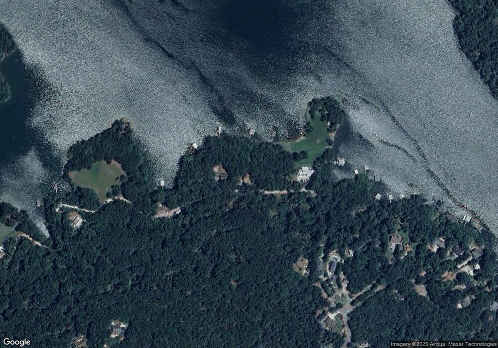
Map
Nearby Homes
- 385 Pirkle Leake Rd
- 189 Pirkle Leake Rd
- 504 Sams Rd
- 3363 War Hill Park Rd
- 45 Lakepoint Dr
- 6725 Marina Ridge Rd
- 120 Mary Saphire Rd
- 224 Mary Saphire Rd
- 6756 Hedge Row Ln
- 0 Mary Saphire Rd Unit 7669481
- 0 Mary Saphire Rd Unit 10629127
- 6073 Rockingham Way
- 2248 War Hill Park Rd
- 6126 Foxmoor Ct
- 6029 Watermark Cove
- 7150 Bluebird Cove
- 6407 Grand Marina Cir
- 6719 Grand Marina Cir
- 643 Tom McGinnis Rd
- 635 Tom McGinnis Rd
- 739 Tom McGinnis Rd
- 561 Tom McGinnis Rd
- 375 Pirkle Leake Rd
- 381 Pirkle Leake Rd
- 392 Pirkle Leake Rd
- 376 Pirkle Leake Rd
- 374 Pirkle Leake Rd Unit 2
- 374 Pirkle Leake Rd
- 0 Pirkle Leake Rd
- 00 Pirkle Leake Rd
- 0 Pirkle Leake Rd Unit 7151044
- 0 Pirkle Leake Rd Unit 8030206
- 0 Pirkle Leake Rd Unit 8030187
- 0 Pirkle Leake Rd Unit 8531453
- 0 Pirkle Leake Rd Unit 8335333
- 0 Pirkle Leake Rd Unit 8532831
- 0 Pirkle Leake Rd Unit 7364774
- 0 Pirkle Leake Rd Unit 7380614