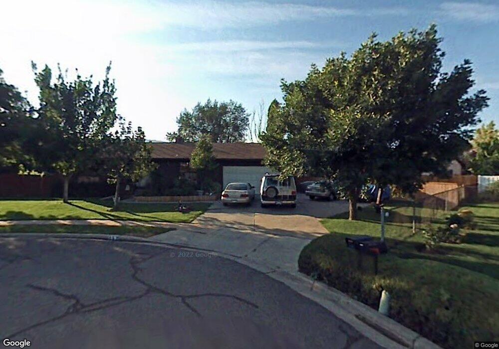
657 W 1700 S Woods Cross, UT 84087
Estimated Value: $536,000 - $588,594
4
Beds
3
Baths
3,022
Sq Ft
$185/Sq Ft
Est. Value
About This Home
This home is located at 657 W 1700 S, Woods Cross, UT 84087 and is currently estimated at $559,399, approximately $185 per square foot. 657 W 1700 S is a home located in Davis County with nearby schools including Woods Cross Elementary School, South Davis Junior High School, and Woods Cross High School.
Ownership History
Date
Name
Owned For
Owner Type
Purchase Details
Closed on
Aug 28, 1998
Sold by
Hepworth Alan M and Hepworth Arlene W
Bought by
Jerome Aaron D and Jerome Renae M
Current Estimated Value
Home Financials for this Owner
Home Financials are based on the most recent Mortgage that was taken out on this home.
Original Mortgage
$136,000
Outstanding Balance
$21,302
Interest Rate
3.95%
Estimated Equity
$538,097
Create a Home Valuation Report for This Property
The Home Valuation Report is an in-depth analysis detailing your home's value as well as a comparison with similar homes in the area
Home Values in the Area
Average Home Value in this Area
Purchase History
| Date | Buyer | Sale Price | Title Company |
|---|---|---|---|
| Jerome Aaron D | -- | Western States Title Company |
Source: Public Records
Mortgage History
| Date | Status | Borrower | Loan Amount |
|---|---|---|---|
| Open | Jerome Aaron D | $136,000 |
Source: Public Records
Tax History Compared to Growth
Tax History
| Year | Tax Paid | Tax Assessment Tax Assessment Total Assessment is a certain percentage of the fair market value that is determined by local assessors to be the total taxable value of land and additions on the property. | Land | Improvement |
|---|---|---|---|---|
| 2025 | $3,479 | $290,950 | $132,581 | $158,369 |
| 2024 | $3,233 | $288,200 | $144,681 | $143,519 |
| 2023 | $3,144 | $512,000 | $194,607 | $317,393 |
| 2022 | $3,076 | $283,250 | $84,400 | $198,850 |
| 2021 | $2,702 | $395,000 | $125,160 | $269,840 |
| 2020 | $2,428 | $351,000 | $119,531 | $231,469 |
| 2019 | $2,411 | $343,000 | $110,036 | $232,964 |
| 2018 | $2,221 | $313,000 | $107,898 | $205,102 |
| 2016 | $1,864 | $143,055 | $50,186 | $92,869 |
| 2015 | $1,742 | $129,085 | $50,186 | $78,899 |
| 2014 | $1,606 | $122,471 | $50,186 | $72,285 |
| 2013 | -- | $118,735 | $31,190 | $87,545 |
Source: Public Records
Map
Nearby Homes
- 1775 Sorrento Dr
- 654 W 1700 S
- 667 W 1700 S
- 1763 Sorrento Dr
- 1793 Sorrento Dr
- 664 W 1700 S
- 674 W 1700 S
- 1823 Sorrento Dr
- 1734 Sorrento Dr
- 1623 Sorrento Dr
- 1814 Sorrento Dr
- 1643 Sorrento Dr
- 1684 Sorrento Dr
- 1794 Sorrento Dr
- 1875 Sorrento Dr
- 1654 Sorrento Dr
- 1804 Sorrento Dr
- 1683 S 700 W
- 1667 S 700 W
- 1701 S 700 W