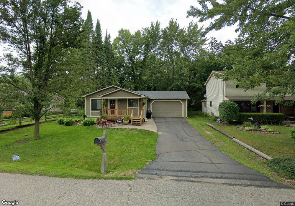
6570 Buckland Ave West Bloomfield, MI 48324
Estimated Value: $266,806 - $324,000
3
Beds
1
Bath
1,017
Sq Ft
$285/Sq Ft
Est. Value
About This Home
This home is located at 6570 Buckland Ave, West Bloomfield, MI 48324 and is currently estimated at $289,952, approximately $285 per square foot. 6570 Buckland Ave is a home located in Oakland County with nearby schools including Our Lady Of Refuge School and St Mary's Preparatory School.
Ownership History
Date
Name
Owned For
Owner Type
Purchase Details
Closed on
Apr 27, 1999
Sold by
Rosen Steven Alan
Bought by
Morton Jerod L
Current Estimated Value
Home Financials for this Owner
Home Financials are based on the most recent Mortgage that was taken out on this home.
Original Mortgage
$117,600
Outstanding Balance
$30,134
Interest Rate
6.94%
Estimated Equity
$259,818
Purchase Details
Closed on
Jun 1, 1995
Sold by
Correll Raymond A
Bought by
Rosen Steven A
Home Financials for this Owner
Home Financials are based on the most recent Mortgage that was taken out on this home.
Original Mortgage
$99,750
Interest Rate
6.5%
Mortgage Type
New Conventional
Create a Home Valuation Report for This Property
The Home Valuation Report is an in-depth analysis detailing your home's value as well as a comparison with similar homes in the area
Home Values in the Area
Average Home Value in this Area
Purchase History
| Date | Buyer | Sale Price | Title Company |
|---|---|---|---|
| Morton Jerod L | $147,000 | -- | |
| Rosen Steven A | $105,000 | -- |
Source: Public Records
Mortgage History
| Date | Status | Borrower | Loan Amount |
|---|---|---|---|
| Open | Morton Jerod L | $117,600 | |
| Previous Owner | Rosen Steven A | $99,750 |
Source: Public Records
Tax History Compared to Growth
Tax History
| Year | Tax Paid | Tax Assessment Tax Assessment Total Assessment is a certain percentage of the fair market value that is determined by local assessors to be the total taxable value of land and additions on the property. | Land | Improvement |
|---|---|---|---|---|
| 2024 | $1,638 | $97,110 | $0 | $0 |
| 2022 | $1,569 | $91,620 | $31,020 | $60,600 |
| 2021 | $2,384 | $88,240 | $0 | $0 |
| 2020 | $1,537 | $84,890 | $31,020 | $53,870 |
| 2018 | $2,299 | $75,070 | $31,020 | $44,050 |
| 2015 | -- | $63,390 | $0 | $0 |
| 2014 | -- | $59,230 | $0 | $0 |
| 2011 | -- | $53,260 | $0 | $0 |
Source: Public Records
Map
Nearby Homes
- 3655 Walnut
- 6768 Buckland Ave
- 3950 Bradmore Ave
- 3965 Carrick Ave
- 3632 Fieldview Ave
- 3991 Fieldview Ave
- 6903 Dandison Blvd
- 4066 Green Lake Rd
- 3701 Northwood
- 6707 Heatherwood Dr
- 6978 Colony Dr
- 7146 Arrowood Dr
- 4442 Borland St
- 4245 Bunker Ave
- 7369 Sweetbriar
- 7110 Commerce Rd
- 6980 Hambro St
- 5716 Evergreen Ave
- 7545/7585 Pontiac Trail
- 7585/7548 Pontiac Trail
- 6580 Buckland Ave
- 6560 Buckland Ave
- 6611 Buckland Ave
- 6590 Buckland Ave
- 00 Meadowfield St
- 0 Meadowfield Unit 4915550
- 0 Meadowfield Unit 213117589
- 3821 Pinnock
- 3690 Green Lake Rd
- 3700 Green Lake Rd
- 6585 Buckland Ave
- 3695 Walnut
- 3691 Walnut
- 6595 Buckland Ave
- 3760 Green Lake Rd
- 6608 Buckland Ave
- 3683 Walnut
- 3680 Green Lake Rd
- 6671 Meadowfield St
- 6607 Buckland Ave