Estimated Value: $230,000 - $246,000
3
Beds
2
Baths
960
Sq Ft
$249/Sq Ft
Est. Value
About This Home
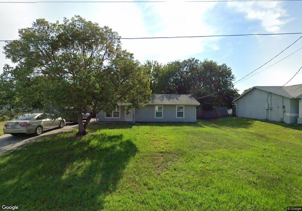
This home is located at 6570 Dock Ave, Cocoa, FL 32927 and is currently estimated at $239,006, approximately $248 per square foot. 6570 Dock Ave is a home located in Brevard County with nearby schools including Enterprise Elementary School, Space Coast Junior/Senior High School, and East Atlantic Prep of Brevard County.
Ownership History
Date
Name
Owned For
Owner Type
Purchase Details
Closed on
Dec 13, 1994
Sold by
Miller Timothy Lee and Miller Linda Sue
Bought by
Barnes Kenneth L and Barnes Katherine C
Current Estimated Value
Home Financials for this Owner
Home Financials are based on the most recent Mortgage that was taken out on this home.
Original Mortgage
$53,550
Interest Rate
9.07%
Purchase Details
Closed on
Oct 29, 1993
Sold by
Jacobson Michael A and Jacobson Beverly K
Bought by
Miller Timothy Lee and Miller Linda Sue
Home Financials for this Owner
Home Financials are based on the most recent Mortgage that was taken out on this home.
Original Mortgage
$43,950
Interest Rate
7.07%
Create a Home Valuation Report for This Property
The Home Valuation Report is an in-depth analysis detailing your home's value as well as a comparison with similar homes in the area
Home Values in the Area
Average Home Value in this Area
Purchase History
| Date | Buyer | Sale Price | Title Company |
|---|---|---|---|
| Barnes Kenneth L | $52,500 | -- | |
| Miller Timothy Lee | $44,000 | -- |
Source: Public Records
Mortgage History
| Date | Status | Borrower | Loan Amount |
|---|---|---|---|
| Closed | Barnes Kenneth L | $53,550 | |
| Previous Owner | Miller Timothy Lee | $43,950 |
Source: Public Records
Tax History
| Year | Tax Paid | Tax Assessment Tax Assessment Total Assessment is a certain percentage of the fair market value that is determined by local assessors to be the total taxable value of land and additions on the property. | Land | Improvement |
|---|---|---|---|---|
| 2025 | $862 | $58,120 | -- | -- |
| 2024 | $846 | $56,490 | -- | -- |
| 2023 | $846 | $54,850 | $0 | $0 |
| 2022 | $808 | $53,260 | $0 | $0 |
| 2021 | $809 | $51,710 | $0 | $0 |
| 2020 | $776 | $51,000 | $0 | $0 |
| 2019 | $723 | $49,860 | $0 | $0 |
| 2018 | $715 | $48,940 | $0 | $0 |
| 2017 | $708 | $47,940 | $0 | $0 |
| 2016 | $702 | $46,960 | $18,000 | $28,960 |
| 2015 | $700 | $46,640 | $15,000 | $31,640 |
| 2014 | $700 | $46,270 | $11,000 | $35,270 |
Source: Public Records
Map
Nearby Homes
- 6615 Dock Ave
- 6581 Bancroft Ave
- 6481 La Brea Ave
- 6450 Ember Ave
- 6438 Hudson Rd
- 5715 Fairbridge St
- 6760 Cairo Rd
- 5680 Banos Ave
- 6815 Bryant Rd
- 00 Unknown
- 5555 Brandon St
- 7065 Hundred Acre Dr
- 5095 Hogan Place
- 5220 Holden Rd
- 5215 Holden Rd
- 6470 Bamboo Ave
- 6990 Bryant Rd
- 6620 Grissom Pkwy
- 5720 Flint Rd
- 6375 Cable Ave
Your Personal Tour Guide
Ask me questions while you tour the home.