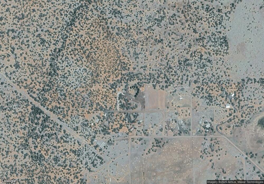
6570 Moonshine Cir Show Low, AZ 85901
Estimated Value: $496,181 - $536,000
--
Bed
--
Bath
3,040
Sq Ft
$169/Sq Ft
Est. Value
About This Home
This home is located at 6570 Moonshine Cir, Show Low, AZ 85901 and is currently estimated at $513,060, approximately $168 per square foot. 6570 Moonshine Cir is a home located in Navajo County with nearby schools including Linden Elementary School, Show Low High School, and Show Low Junior High School.
Ownership History
Date
Name
Owned For
Owner Type
Purchase Details
Closed on
Mar 17, 2021
Sold by
Vancleave Shasta Marie
Bought by
Vancleave Thomas
Current Estimated Value
Purchase Details
Closed on
Aug 22, 2009
Sold by
Vancleave Thomas
Bought by
Vancleave Thomas and Van Cleave Shasta Marie
Home Financials for this Owner
Home Financials are based on the most recent Mortgage that was taken out on this home.
Original Mortgage
$171,500
Interest Rate
5.14%
Mortgage Type
New Conventional
Create a Home Valuation Report for This Property
The Home Valuation Report is an in-depth analysis detailing your home's value as well as a comparison with similar homes in the area
Home Values in the Area
Average Home Value in this Area
Purchase History
| Date | Buyer | Sale Price | Title Company |
|---|---|---|---|
| Vancleave Thomas | -- | None Available | |
| Vancleave Thomas | -- | None Available | |
| Vancleave Thomas | -- | None Available |
Source: Public Records
Mortgage History
| Date | Status | Borrower | Loan Amount |
|---|---|---|---|
| Closed | Vancleave Thomas | $171,500 |
Source: Public Records
Tax History Compared to Growth
Tax History
| Year | Tax Paid | Tax Assessment Tax Assessment Total Assessment is a certain percentage of the fair market value that is determined by local assessors to be the total taxable value of land and additions on the property. | Land | Improvement |
|---|---|---|---|---|
| 2026 | $2,172 | -- | -- | -- |
| 2025 | $2,137 | $41,867 | $7,354 | $34,513 |
| 2024 | $2,007 | $40,071 | $5,386 | $34,685 |
| 2023 | $2,137 | $29,742 | $4,681 | $25,061 |
| 2022 | $2,007 | $0 | $0 | $0 |
| 2021 | $2,038 | $0 | $0 | $0 |
| 2020 | $1,897 | $0 | $0 | $0 |
| 2019 | $1,899 | $0 | $0 | $0 |
| 2018 | $1,799 | $0 | $0 | $0 |
| 2017 | $1,369 | $0 | $0 | $0 |
| 2016 | $1,352 | $0 | $0 | $0 |
| 2015 | $1,275 | $12,728 | $4,221 | $8,507 |
Source: Public Records
Map
Nearby Homes
- 6581 Moonshine Cir
- 1866 Simpson Well Rd
- 1854 Turkey Lake Rd
- 6635 Avanti Way
- 6649 Songbird Ln
- 6565 Natures Way
- 1606 Echo Ct
- 000 Aubri Ln
- 000 Aubri Ln
- 13 Lone Pine Dam Rd
- 6527 Maxwell Ln Unit B
- 7106 Long Rd
- 1276 Lone Pine Dam Rd
- 1145 Timber Ranch Rd
- 7018 Shilo Trail
- 1051 Dusty Ln
- 7075 Bryant Blvd
- 1051 Burton Rd
- 7130 White Gate Way
- 1108 Pearce Rd
- 0 W Burton Rd Unit 9
- 0 W Burton Rd Unit 228397
- 0000 W Burton Rd
- 6569 Moonshine Cir
- 6561 Moonshine Cir
- 6452 Old Homestead Rd
- 6557 Moonshine Cir
- 6594 Old Homestead Rd
- 6592 Old Homestead Rd
- 6464 Old Homestead Rd
- 1884 Simpson Well Rd
- 6604 Old Homestead Rd
- 0 Old Homestead Rd Unit 17.66 Acres
- TBD H Turkey Lake Rd
- 1881 Turkey Lake Rd
- 1881 Turkey Lake Rd
- 6614 Dennys Way
- 1856 Simpson Well Rd
- 1882 Turkey Lake Rd
- 6644 Dennys Way
