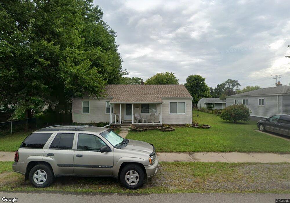
6571 Elm St Taylor, MI 48180
Estimated Value: $155,269 - $174,000
--
Bed
--
Bath
1,181
Sq Ft
$140/Sq Ft
Est. Value
About This Home
This home is located at 6571 Elm St, Taylor, MI 48180 and is currently estimated at $165,317, approximately $139 per square foot. 6571 Elm St is a home located in Wayne County with nearby schools including Clarence Randall Elementary School, Hoover Middle School, and Quest Charter Academy.
Ownership History
Date
Name
Owned For
Owner Type
Purchase Details
Closed on
Sep 21, 2006
Sold by
Oddo Kathryn
Bought by
Long Patricia Ann
Current Estimated Value
Home Financials for this Owner
Home Financials are based on the most recent Mortgage that was taken out on this home.
Original Mortgage
$25,000
Interest Rate
6.49%
Mortgage Type
Purchase Money Mortgage
Create a Home Valuation Report for This Property
The Home Valuation Report is an in-depth analysis detailing your home's value as well as a comparison with similar homes in the area
Home Values in the Area
Average Home Value in this Area
Purchase History
| Date | Buyer | Sale Price | Title Company |
|---|---|---|---|
| Long Patricia Ann | -- | Multiple |
Source: Public Records
Mortgage History
| Date | Status | Borrower | Loan Amount |
|---|---|---|---|
| Previous Owner | Long Patricia Ann | $25,000 |
Source: Public Records
Tax History Compared to Growth
Tax History
| Year | Tax Paid | Tax Assessment Tax Assessment Total Assessment is a certain percentage of the fair market value that is determined by local assessors to be the total taxable value of land and additions on the property. | Land | Improvement |
|---|---|---|---|---|
| 2025 | $1,471 | $77,200 | $0 | $0 |
| 2024 | $1,471 | $68,200 | $0 | $0 |
| 2023 | $1,781 | $60,700 | $0 | $0 |
| 2022 | $1,404 | $54,600 | $0 | $0 |
| 2021 | $1,564 | $49,600 | $0 | $0 |
| 2020 | $1,454 | $42,400 | $0 | $0 |
| 2019 | $145,208 | $33,800 | $0 | $0 |
| 2018 | $1,131 | $26,400 | $0 | $0 |
| 2017 | $681 | $26,900 | $0 | $0 |
| 2016 | $1,478 | $26,200 | $0 | $0 |
| 2015 | $2,940 | $29,400 | $0 | $0 |
| 2013 | $2,980 | $30,600 | $0 | $0 |
| 2012 | $1,275 | $30,000 | $14,200 | $15,800 |
Source: Public Records
Map
Nearby Homes