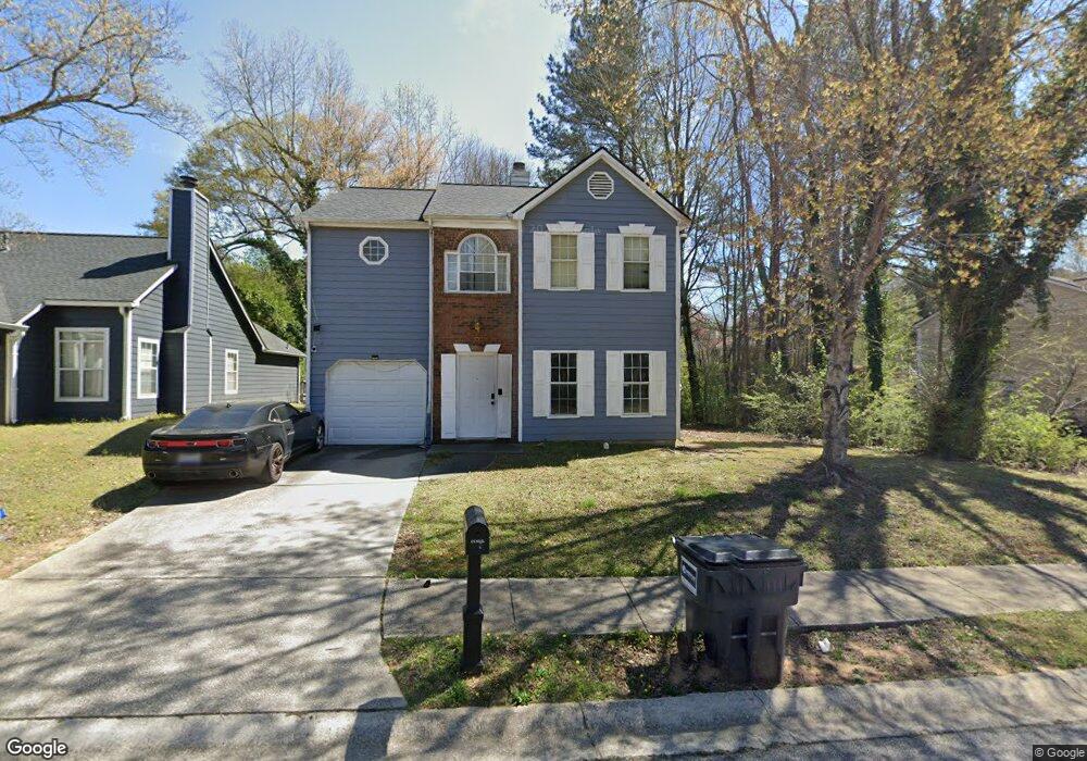
6572 Coventry Point Unit 1 Austell, GA 30168
Estimated Value: $271,000 - $309,000
3
Beds
3
Baths
1,726
Sq Ft
$164/Sq Ft
Est. Value
About This Home
This home is located at 6572 Coventry Point Unit 1, Austell, GA 30168 and is currently estimated at $283,688, approximately $164 per square foot. 6572 Coventry Point Unit 1 is a home located in Cobb County with nearby schools including Bryant Elementary School, Lindley Middle School, and Pebblebrook High School.
Ownership History
Date
Name
Owned For
Owner Type
Purchase Details
Closed on
Aug 13, 2002
Sold by
Abusharr Nabil and Abusharr Jillyn H
Bought by
Balde Mamadou A and Balde Aissata
Current Estimated Value
Home Financials for this Owner
Home Financials are based on the most recent Mortgage that was taken out on this home.
Original Mortgage
$118,047
Outstanding Balance
$49,403
Interest Rate
6.53%
Mortgage Type
New Conventional
Estimated Equity
$234,285
Create a Home Valuation Report for This Property
The Home Valuation Report is an in-depth analysis detailing your home's value as well as a comparison with similar homes in the area
Home Values in the Area
Average Home Value in this Area
Purchase History
| Date | Buyer | Sale Price | Title Company |
|---|---|---|---|
| Balde Mamadou A | $119,900 | -- |
Source: Public Records
Mortgage History
| Date | Status | Borrower | Loan Amount |
|---|---|---|---|
| Open | Balde Mamadou A | $118,047 |
Source: Public Records
Tax History Compared to Growth
Tax History
| Year | Tax Paid | Tax Assessment Tax Assessment Total Assessment is a certain percentage of the fair market value that is determined by local assessors to be the total taxable value of land and additions on the property. | Land | Improvement |
|---|---|---|---|---|
| 2025 | $2,603 | $115,052 | $24,000 | $91,052 |
| 2024 | $2,605 | $115,052 | $24,000 | $91,052 |
| 2023 | $1,616 | $94,456 | $16,000 | $78,456 |
| 2022 | $2,175 | $94,456 | $16,000 | $78,456 |
| 2021 | $1,558 | $66,248 | $9,600 | $56,648 |
| 2020 | $1,410 | $59,500 | $7,800 | $51,700 |
| 2019 | $1,236 | $51,552 | $7,800 | $43,752 |
| 2018 | $1,236 | $51,552 | $7,800 | $43,752 |
| 2017 | $903 | $40,336 | $7,800 | $32,536 |
| 2016 | $665 | $32,032 | $6,000 | $26,032 |
| 2015 | $587 | $28,776 | $6,000 | $22,776 |
| 2014 | $280 | $18,248 | $0 | $0 |
Source: Public Records
Map
Nearby Homes
- 6581 Coventry Point Unit 1
- 6718 Roscommon Dr
- 6627 Coventry Point
- 1972 Cox Dr Unit 5
- 1151 S Gordon Rd
- 2072 Woodbine Cir
- 0 Maxham Rd Unit 10652291
- 1784 Brandemere Dr Unit 3
- 6445 Sherwood Trail
- 6651 Malvin Dr
- 2023 Lee Dr
- 2414 Old Alabama Rd
- 1576 S Gordon Rd
- 6083 Oak Hill Dr
- 6084 S Gordon Rd
- 6992 Ivy Pointe Row
- 6854 Panda Ct Unit A
- 6736 Ivy Log Dr
- 110 Creekway Dr
- 1736 Walton Reserve Way
- 6570 Coventry Point Unit 1
- 6574 Coventry Point
- 6568 Coventry Point
- 2001 Coventry Point
- 6566 Coventry Point
- 2003 Mcewen Cir
- 2005 Mcewen Cir
- 6564 Coventry Point Unit 1
- 1972 Abbey Province
- 6575 Coventry Point
- 6577 Coventry Point
- 1974 Abbey Province
- 1976 Abbey Province
- 2007 Mcewen Cir
- 6562 Coventry Point Unit 1
- 1970 Abbey Province Unit 1
- 6579 Coventry Point
- 6582 Coventry Point
- 6560 Coventry Point
- 2009 Mcewen Cir Unit 1