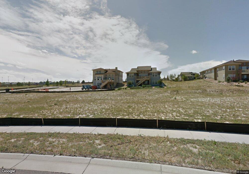
6573 S Quantock Ct Aurora, CO 80016
Southeast Aurora NeighborhoodEstimated Value: $722,496 - $883,000
3
Beds
4
Baths
2,421
Sq Ft
$322/Sq Ft
Est. Value
About This Home
This home is located at 6573 S Quantock Ct, Aurora, CO 80016 and is currently estimated at $780,624, approximately $322 per square foot. 6573 S Quantock Ct is a home with nearby schools including Altitude Elementary School, Fox Ridge Middle School, and Cherokee Trail High School.
Ownership History
Date
Name
Owned For
Owner Type
Purchase Details
Closed on
Jun 17, 2016
Sold by
William Lyon Homes Inc
Bought by
Greenlee Hardin and Greenlee Brigitte D
Current Estimated Value
Home Financials for this Owner
Home Financials are based on the most recent Mortgage that was taken out on this home.
Original Mortgage
$376,086
Outstanding Balance
$297,274
Interest Rate
3.61%
Mortgage Type
New Conventional
Estimated Equity
$483,350
Create a Home Valuation Report for This Property
The Home Valuation Report is an in-depth analysis detailing your home's value as well as a comparison with similar homes in the area
Home Values in the Area
Average Home Value in this Area
Purchase History
| Date | Buyer | Sale Price | Title Company |
|---|---|---|---|
| Greenlee Hardin | $472,608 | Land Title Guarantee Company |
Source: Public Records
Mortgage History
| Date | Status | Borrower | Loan Amount |
|---|---|---|---|
| Open | Greenlee Hardin | $376,086 |
Source: Public Records
Tax History
| Year | Tax Paid | Tax Assessment Tax Assessment Total Assessment is a certain percentage of the fair market value that is determined by local assessors to be the total taxable value of land and additions on the property. | Land | Improvement |
|---|---|---|---|---|
| 2025 | $6,604 | $50,031 | -- | -- |
| 2024 | $6,519 | $47,135 | -- | -- |
| 2023 | $6,519 | $47,135 | $0 | $0 |
| 2022 | $5,287 | $40,039 | $0 | $0 |
| 2021 | $4,937 | $40,039 | $0 | $0 |
| 2020 | $4,917 | $0 | $0 | $0 |
| 2019 | $4,821 | $37,909 | $0 | $0 |
| 2018 | $4,493 | $34,229 | $0 | $0 |
| 2017 | $4,457 | $34,229 | $0 | $0 |
| 2016 | $2,442 | $18,850 | $0 | $0 |
| 2015 | $2,371 | $18,850 | $0 | $0 |
| 2014 | $612 | $4,524 | $0 | $0 |
| 2013 | -- | $4,470 | $0 | $0 |
Source: Public Records
Map
Nearby Homes
- 26591 E Calhoun Place
- 26633 E Peakview Place
- 6646 S Patsburg St
- 6769 S Old Hammer Ct
- 6492 S Millbrook Way
- 6477 S Oak Hill Cir
- 26923 E Ottawa Place
- 6468 S Oak Hill Cir
- 26962 E Ottawa Place
- 6977 S Riverwood Way
- 6189 S Oak Hill Way
- 6988 S Riverwood Way
- 6525 S Newcastle Way
- 6974 S Shady Grove Ct
- 7045 S Robertsdale Way
- 27841 E Lakeview Dr
- 26824 E Quarto Place
- 6563 S Little River Way
- 6689 S Vandriver Way
- 6236 S Millbrook Way
- 6563 S Quantock Ct
- 6583 S Quantock Ct
- 6572 S Queensburg Ct
- 6593 S Quantock Ct
- 6553 S Quantock Ct
- 6562 S Queensburg Ct
- 6582 S Queensburg Ct
- 6592 S Queensburg Ct
- 6574 S Quantock Ct
- 6584 S Quantock Ct
- 6543 S Quantock Ct
- 6542 S Queensburg Ct
- 26619 E Euclid Place
- 6532 S Queensburg Ct
- 26570 E Euclid Place
- 26590 E Euclid Place
- 6591 S Queensburg Ct
- 26639 E Euclid Place
- 6571 S Queensburg Ct
- 6561 S Queensburg Ct
Your Personal Tour Guide
Ask me questions while you tour the home.