6573 SE Us Hwy 431 Unit A Hampton Cove, AL 35763
Estimated Value: $1,390,769
--
Bed
--
Bath
3,600
Sq Ft
$386/Sq Ft
Est. Value
About This Home
This home is located at 6573 SE Us Hwy 431 Unit A, Hampton Cove, AL 35763 and is currently estimated at $1,390,769, approximately $386 per square foot. 6573 SE Us Hwy 431 Unit A is a home located in Madison County with nearby schools including Hampton Cove Elementary School, Hampton Cove Middle School, and Huntsville High School.
Ownership History
Date
Name
Owned For
Owner Type
Purchase Details
Closed on
Jul 28, 2023
Sold by
Dpg Single Tenant Llc
Bought by
3N Assets Iii Llc
Current Estimated Value
Purchase Details
Closed on
Feb 15, 2022
Sold by
Mgray Inc
Bought by
Dpg Single Tenant Llc
Home Financials for this Owner
Home Financials are based on the most recent Mortgage that was taken out on this home.
Original Mortgage
$1,217,200
Interest Rate
3.55%
Purchase Details
Closed on
May 25, 2011
Sold by
Campbell & Ragland Co Llc
Bought by
Mgray Inc
Home Financials for this Owner
Home Financials are based on the most recent Mortgage that was taken out on this home.
Original Mortgage
$157,665
Interest Rate
4.88%
Mortgage Type
Commercial
Create a Home Valuation Report for This Property
The Home Valuation Report is an in-depth analysis detailing your home's value as well as a comparison with similar homes in the area
Home Values in the Area
Average Home Value in this Area
Purchase History
| Date | Buyer | Sale Price | Title Company |
|---|---|---|---|
| 3N Assets Iii Llc | $1,320,266 | None Listed On Document | |
| Dpg Single Tenant Llc | $450,000 | Anders Boyett & Brady Pc | |
| Mgray Inc | -- | None Available |
Source: Public Records
Mortgage History
| Date | Status | Borrower | Loan Amount |
|---|---|---|---|
| Previous Owner | Dpg Single Tenant Llc | $1,217,200 | |
| Previous Owner | Mgray Inc | $157,665 |
Source: Public Records
Tax History Compared to Growth
Tax History
| Year | Tax Paid | Tax Assessment Tax Assessment Total Assessment is a certain percentage of the fair market value that is determined by local assessors to be the total taxable value of land and additions on the property. | Land | Improvement |
|---|---|---|---|---|
| 2024 | $6,462 | $111,320 | $45,080 | $66,240 |
| 2023 | $6,462 | $45,080 | $45,080 | $0 |
| 2022 | $4,032 | $69,520 | $45,080 | $24,440 |
| 2021 | $4,032 | $69,520 | $45,080 | $24,440 |
| 2020 | $3,984 | $67,920 | $45,080 | $22,840 |
| 2019 | $3,939 | $67,920 | $45,080 | $22,840 |
| 2018 | $3,477 | $59,940 | $0 | $0 |
| 2017 | $3,477 | $59,940 | $0 | $0 |
| 2016 | $3,477 | $59,940 | $0 | $0 |
| 2015 | $3,477 | $59,940 | $0 | $0 |
| 2014 | $3,379 | $58,260 | $0 | $0 |
Source: Public Records
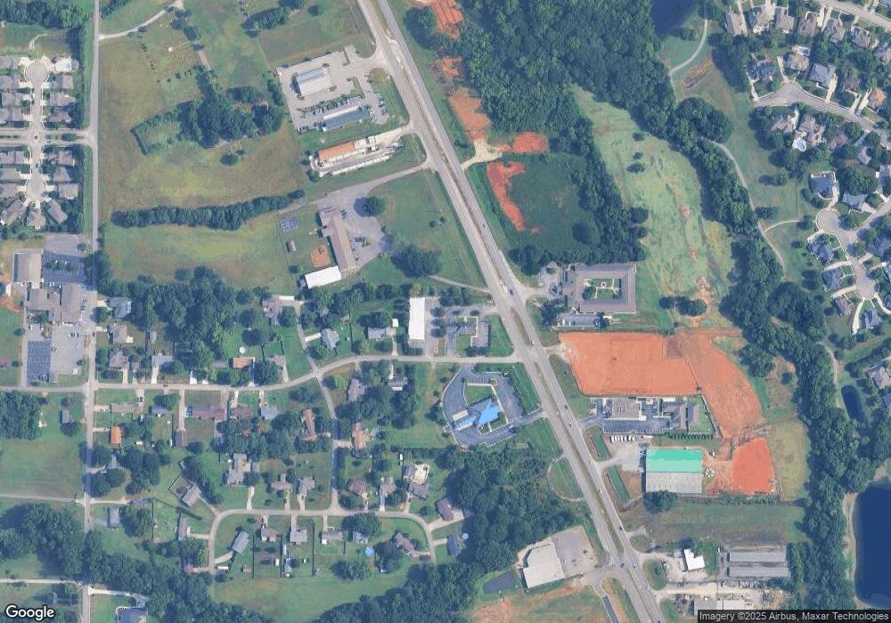
Map
Nearby Homes
- 2717 Deford Mill Rd SE
- 205 Wyatt Henry Ln
- 161 Hartside Rd SE
- 133 Plainview Dr SE
- 2637 Mountain Stream Way SE
- 3030 Ginn Point Rd SE
- Lot 1 Wade Rd
- 6609 Emmett Dr SE
- 5000 Valley Cove Dr SE
- 2702 Muir Woods Dr SE
- 2726 Treyburne Ln SE
- 3015 Ginn Point Rd SE
- 2413 Habersham Dr SE
- 3001 Watch Hill Dr SE
- 6709 Station View Dr
- 381 Caldwell Ln SE
- 2808 Castle Pines Cir SE
- 2.8 Andrew Rd
- 3.05 Andrew Rd
- 4854 Cove Valley Dr SE
- 6573 Highway 431 S
- 6573 U S 431
- 6573 A SE Us Hwy 431
- 6585 Highway 431 S Unit E
- 6565 Highway 431 S
- 6555 U S 431
- 0 S Us Hwy 431 Unit 1065534
- 0 S Us Hwy 431 Unit 314240
- 6555 Highway 431 S
- 131 Old Highway 431 Unit C
- 3107 Kincade Cir SE
- 3105 Kincade Cir SE
- 3103 Kincade Cir SE
- 6496 Highway 431 S
- 3102 Kincade Cir SE
- 153 Taylor Rd SE
- 180 Old Highway 431
- 180-C Old Highway 431 Unit C
- 2432 Audubon Ln SE
- 3101 Kincade Cir SE