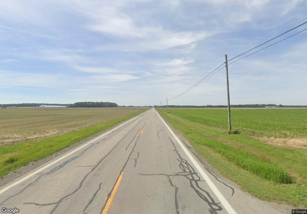
6573 State Route 19 Sycamore, OH 44882
Estimated Value: $249,000 - $916,767
5
Beds
1
Bath
1,232
Sq Ft
$473/Sq Ft
Est. Value
About This Home
This home is located at 6573 State Route 19, Sycamore, OH 44882 and is currently estimated at $582,884, approximately $473 per square foot. 6573 State Route 19 is a home located in Crawford County with nearby schools including Wynford Elementary School and Wynford High School.
Ownership History
Date
Name
Owned For
Owner Type
Purchase Details
Closed on
May 5, 2023
Sold by
Brause Kim Dale
Bought by
Brause Family Trust
Current Estimated Value
Purchase Details
Closed on
Jul 9, 2010
Sold by
Brause Dale K
Bought by
Brause Kim Dale
Purchase Details
Closed on
Jan 5, 2006
Sold by
Brause Dale K
Bought by
Brause Dale K
Purchase Details
Closed on
May 6, 2001
Bought by
Brause Dale K Trustee
Create a Home Valuation Report for This Property
The Home Valuation Report is an in-depth analysis detailing your home's value as well as a comparison with similar homes in the area
Home Values in the Area
Average Home Value in this Area
Purchase History
| Date | Buyer | Sale Price | Title Company |
|---|---|---|---|
| Brause Family Trust | $500 | None Listed On Document | |
| Brause Family Trust | $500 | None Listed On Document | |
| Brause Kim Dale | -- | -- | |
| Brause Dale K | -- | -- | |
| Brause Dale K | -- | -- | |
| Brause Dale K Trustee | -- | -- |
Source: Public Records
Tax History Compared to Growth
Tax History
| Year | Tax Paid | Tax Assessment Tax Assessment Total Assessment is a certain percentage of the fair market value that is determined by local assessors to be the total taxable value of land and additions on the property. | Land | Improvement |
|---|---|---|---|---|
| 2024 | $4,523 | $118,160 | $72,730 | $45,430 |
| 2023 | $4,746 | $58,500 | $29,290 | $29,210 |
| 2022 | $2,798 | $58,500 | $29,290 | $29,210 |
| 2021 | $2,786 | $58,500 | $29,290 | $29,210 |
| 2020 | $3,227 | $73,320 | $44,110 | $29,210 |
| 2019 | $3,323 | $73,320 | $44,110 | $29,210 |
| 2018 | $3,399 | $73,320 | $44,110 | $29,210 |
| 2017 | $4,014 | $86,710 | $62,400 | $24,310 |
| 2016 | $3,349 | $86,710 | $62,400 | $24,310 |
| 2015 | $3,343 | $86,710 | $62,400 | $24,310 |
| 2014 | $2,281 | $55,700 | $31,390 | $24,310 |
| 2013 | $2,281 | $55,700 | $31,390 | $24,310 |
Source: Public Records
Map
Nearby Homes
- 2776 State Route 103
- 6850 Sandusky Ave
- 8140 S State Route 19
- 7387 Crawford Wyandot County Line Rd
- 2444 Spore Brandywine Rd
- 1607 County Highway 30
- 4432 Marion Melmore Rd
- 7335 S Township Road 159
- 0 S Marion St
- 4847 S County Road 49
- 308 Lincoln Hwy
- 204 E 7th St
- 1792 Tiffin Rd
- 404 S Sycamore Ave
- 0 S Tr 173 Unit 20252747
- 106 N Sycamore Ave
- 1665 Lincoln Hwy
- 305 W 10th St
- 529 Bucyrus St
- 0 Benton St
