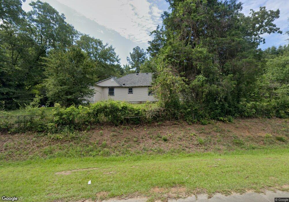
6575 Smithfield Rd Macon, GA 31216
Estimated Value: $140,000 - $241,000
3
Beds
1
Bath
2,140
Sq Ft
$92/Sq Ft
Est. Value
About This Home
This home is located at 6575 Smithfield Rd, Macon, GA 31216 and is currently estimated at $196,963, approximately $92 per square foot. 6575 Smithfield Rd is a home located in Bibb County with nearby schools including Heard Elementary School, Rutland Middle School, and Rutland High School.
Ownership History
Date
Name
Owned For
Owner Type
Purchase Details
Closed on
Jan 10, 2023
Sold by
Pearson Vernon G
Bought by
Thomas Craig
Current Estimated Value
Purchase Details
Closed on
Jan 9, 2000
Sold by
Thomas Willett
Bought by
Thomas Gertrude
Create a Home Valuation Report for This Property
The Home Valuation Report is an in-depth analysis detailing your home's value as well as a comparison with similar homes in the area
Home Values in the Area
Average Home Value in this Area
Purchase History
| Date | Buyer | Sale Price | Title Company |
|---|---|---|---|
| Thomas Craig | -- | -- | |
| Thomas Gertrude | -- | -- |
Source: Public Records
Tax History Compared to Growth
Tax History
| Year | Tax Paid | Tax Assessment Tax Assessment Total Assessment is a certain percentage of the fair market value that is determined by local assessors to be the total taxable value of land and additions on the property. | Land | Improvement |
|---|---|---|---|---|
| 2025 | $844 | $34,359 | $7,193 | $27,166 |
| 2024 | $873 | $34,359 | $7,193 | $27,166 |
| 2023 | $1,018 | $34,359 | $7,193 | $27,166 |
| 2022 | $1,304 | $37,656 | $17,633 | $20,023 |
| 2021 | $1,451 | $38,172 | $17,633 | $20,539 |
| 2020 | $1,482 | $38,172 | $17,633 | $20,539 |
| 2019 | $1,494 | $38,172 | $17,633 | $20,539 |
| 2018 | $1,635 | $38,172 | $17,633 | $20,539 |
| 2017 | $899 | $38,172 | $17,633 | $20,539 |
| 2016 | $820 | $38,172 | $17,633 | $20,539 |
| 2015 | $1,167 | $38,172 | $17,633 | $20,539 |
| 2014 | $1,167 | $38,172 | $17,633 | $20,539 |
Source: Public Records
Map
Nearby Homes
- 1850 Barnes Ferry Rd
- 1660 Allen Rd
- 2154 Allen Rd
- Plan 2700 at The Abberley
- 301 Stockton Cir
- 120 Abberley Ln
- 326 Stockton Cir
- 337 Stockton Cir
- 341 Stockton Cir
- 137 Abberley Ln
- 7070 Sofkee Place
- 2960 Regina Dr
- 149 Lew Dr
- 344 Browning Pointe Rd
- 2165 Griffin Rd
- 321 Browning Pointe Rd
- 106 Maries Garden Trail
- 268 Amanda Dr
- 2728 Nowell Dr
- 116 Fred Ct
- 6627 Smithfield Rd
- 6630 Grayer Dr
- 6636 Grayer Dr
- 6631 Smithfield Rd
- 6637 Smithfield Rd
- 6650 Grayer Dr
- 6640 Grayer Dr
- 6659 Smithfield Rd
- 6645 Smithfield Rd
- 6570 Smithfield Rd
- 6651 Grayer Dr
- 6662 Grayer Dr
- 6651 Smithfield Rd
- 6665 Smithfield Rd
- 2055 Barnes Ferry Rd
- 6515 Smithfield Rd
- 6512 Smithfield Rd
- 6685 Smithfield Rd
- 2093 Barnes Ferry Rd
- 2021 Barnes Ferry Rd