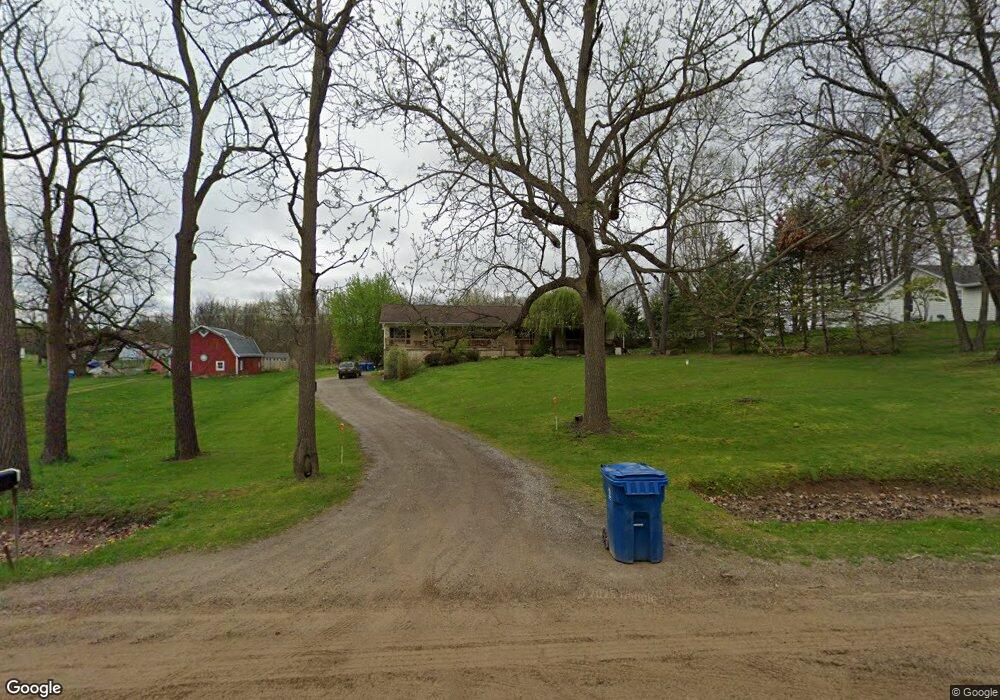
6575 W Rolston Rd Linden, MI 48451
Estimated Value: $284,000 - $328,000
3
Beds
2
Baths
2,128
Sq Ft
$144/Sq Ft
Est. Value
About This Home
This home is located at 6575 W Rolston Rd, Linden, MI 48451 and is currently estimated at $305,860, approximately $143 per square foot. 6575 W Rolston Rd is a home located in Genesee County with nearby schools including Central Elementary School and Linden High School.
Ownership History
Date
Name
Owned For
Owner Type
Purchase Details
Closed on
Mar 11, 2021
Sold by
Masters Ann Marie and Ann Marie Masters Trust
Bought by
Bale Charles W and Bale Laura
Current Estimated Value
Home Financials for this Owner
Home Financials are based on the most recent Mortgage that was taken out on this home.
Original Mortgage
$125,000
Outstanding Balance
$93,294
Interest Rate
3.05%
Mortgage Type
New Conventional
Estimated Equity
$212,566
Purchase Details
Closed on
Sep 6, 2007
Sold by
Bale Charles and Bale Laura
Bought by
Masters Ann M
Purchase Details
Closed on
Nov 1, 2005
Sold by
Ann Marie Masters Trust
Bought by
Bale Charles and Bale Laura
Purchase Details
Closed on
Oct 24, 2005
Sold by
Masters Thomas J and Masters Ann Marie
Bought by
Ann Marie Masters Trust
Create a Home Valuation Report for This Property
The Home Valuation Report is an in-depth analysis detailing your home's value as well as a comparison with similar homes in the area
Home Values in the Area
Average Home Value in this Area
Purchase History
| Date | Buyer | Sale Price | Title Company |
|---|---|---|---|
| Bale Charles W | -- | None Available | |
| Masters Ann M | -- | None Available | |
| Bale Charles | -- | None Available | |
| Ann Marie Masters Trust | -- | None Available |
Source: Public Records
Mortgage History
| Date | Status | Borrower | Loan Amount |
|---|---|---|---|
| Open | Bale Charles W | $125,000 |
Source: Public Records
Tax History Compared to Growth
Tax History
| Year | Tax Paid | Tax Assessment Tax Assessment Total Assessment is a certain percentage of the fair market value that is determined by local assessors to be the total taxable value of land and additions on the property. | Land | Improvement |
|---|---|---|---|---|
| 2025 | $2,651 | $112,100 | $0 | $0 |
| 2024 | $1,178 | $106,300 | $0 | $0 |
| 2023 | $1,125 | $106,000 | $0 | $0 |
| 2022 | $2,337 | $92,000 | $0 | $0 |
| 2021 | $2,333 | $92,700 | $0 | $0 |
| 2020 | $998 | $87,800 | $0 | $0 |
| 2019 | $1,002 | $82,800 | $0 | $0 |
| 2018 | $2,179 | $77,500 | $0 | $0 |
| 2017 | $2,040 | $77,800 | $0 | $0 |
| 2016 | $2,077 | $72,700 | $0 | $0 |
| 2015 | $1,277 | $39,300 | $0 | $0 |
| 2014 | $936 | $60,500 | $0 | $0 |
| 2012 | -- | $56,200 | $56,200 | $0 |
Source: Public Records
Map
Nearby Homes
- Parcel E Hogan Rd
- 1590 W Rolston Rd
- 437 Sweet Briar Ridge Unit 70
- 12715 Ivy Ln
- 12711 Ivy Ln
- 13158 Stony Brook Pass
- 13150 Westwinds Dr
- 13180 Westwinds Dr
- 13204 Westwinds Dr
- 13168 Westwinds Dr
- 13186 Westwinds Dr
- 13138 Westwinds Dr
- 13144 Westwinds Dr
- 13102 Westwinds Dr
- 13096 Westwinds Dr
- 13192 Westwinds Dr
- 13217 Westwinds Dr
- 13174 Westwinds Dr
- 13126 Westwinds Dr
- 13017 River Rock Pass
- 6551 W Rolston Rd
- 6563 W Rolston Rd
- 6527 W Rolston Rd
- 6581 W Rolston Rd
- 6521 W Rolston Rd
- 6507 W Rolston Rd
- 14038 Hogan Rd
- 6495 W Rolston Rd
- 14050 Hogan Rd
- 6485 W Rolston Rd
- 14118 Hogan Rd
- 14021 Hogan Rd
- 14037 Hogan Rd
- 14051 Hogan Rd
- 14083 Hogan Rd
- 14172 Hogan Rd
- 14166 Hogan Rd
- 7067 W Rolston Rd
- 13506 Hogan Rd
- 14109 Hogan Rd