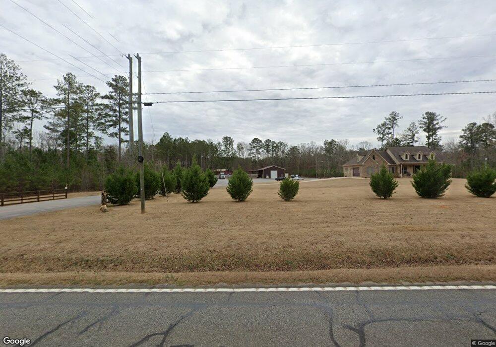
6577 Ga Highway 42 N Forsyth, GA 31029
Estimated Value: $452,260 - $524,000
4
Beds
3
Baths
2,824
Sq Ft
$173/Sq Ft
Est. Value
About This Home
This home is located at 6577 Ga Highway 42 N, Forsyth, GA 31029 and is currently estimated at $488,130, approximately $172 per square foot. 6577 Ga Highway 42 N is a home with nearby schools including Katherine B. Sutton Elementary School and Mary Persons High School.
Ownership History
Date
Name
Owned For
Owner Type
Purchase Details
Closed on
Jun 13, 2016
Sold by
Eastis Land Holdings Llc
Bought by
Ibash Inc
Current Estimated Value
Purchase Details
Closed on
May 10, 2016
Sold by
Eastis Land Holdings Llc
Bought by
Swearingen Robert and Swearingen Mary Zane
Purchase Details
Closed on
Oct 28, 2014
Sold by
Associated Partners Llc
Bought by
Eastis Land Holdings Llc
Purchase Details
Closed on
Mar 2, 2012
Sold by
Head Willie James
Bought by
Shannon J R
Purchase Details
Closed on
May 31, 1968
Sold by
Rape Muriel Frances
Bought by
Head Willie
Create a Home Valuation Report for This Property
The Home Valuation Report is an in-depth analysis detailing your home's value as well as a comparison with similar homes in the area
Home Values in the Area
Average Home Value in this Area
Purchase History
| Date | Buyer | Sale Price | Title Company |
|---|---|---|---|
| Ibash Inc | $18,000 | -- | |
| Swearingen Robert | $19,000 | -- | |
| Eastis Land Holdings Llc | $35,000 | -- | |
| Shannon J R | -- | -- | |
| Head Willie | -- | -- |
Source: Public Records
Tax History Compared to Growth
Tax History
| Year | Tax Paid | Tax Assessment Tax Assessment Total Assessment is a certain percentage of the fair market value that is determined by local assessors to be the total taxable value of land and additions on the property. | Land | Improvement |
|---|---|---|---|---|
| 2024 | $3,531 | $142,720 | $17,160 | $125,560 |
| 2023 | $2,633 | $123,320 | $17,160 | $106,160 |
| 2022 | $3,014 | $123,320 | $17,160 | $106,160 |
| 2021 | $3,120 | $123,320 | $17,160 | $106,160 |
| 2020 | $3,199 | $123,320 | $17,160 | $106,160 |
| 2019 | $3,028 | $116,560 | $17,160 | $99,400 |
| 2018 | $498 | $17,160 | $17,160 | $0 |
| 2017 | $499 | $17,160 | $17,160 | $0 |
| 2016 | $965 | $34,920 | $34,920 | $0 |
| 2015 | $367 | $43,680 | $43,680 | $0 |
| 2014 | $772 | $30,560 | $30,560 | $0 |
Source: Public Records
Map
Nearby Homes
- 6418 Georgia 42
- 160 Aaron Ct
- 49 Homestead Cir Unit LOT 49A
- 120 Homestead Cir
- 40 Timber Dr
- 381 Homestead Cir
- 1538 Freeman Rd
- 788 Teagle Rd
- 3528 Highway 42 S
- 120 Torbet Rd
- 674 Stokes Store Rd
- 0 Garr Rd Unit 10439858
- 1649 Stokes Store Rd
- 1649 Stokes Store Rd Unit 52
- 1659 Stokes Store Rd
- 343 Torbet Dr
- 119 Mack Cir
- 739 Westbrooks Rd
- 0 Duncan Cir Unit 24915548
- 1653 Stokes Store Rd Unit 51
- 6599 Georgia 42
- 6599 Ga Hwy
- 6599 Ga Highway 42 N
- 6589 Ga Highway 42 N
- 48 Craig Rd
- 6684 Ga Highway 42 N
- 0 Hwy 42 and Craig Rd Unit PARCEL 1 8259966
- 0 Hwy 42 and Craig Rd Unit 1 7527778
- 0 Hwy 42 and Craig Rd Unit 2&3 7527771
- 0 Hwy 42 and Craig Rd Unit PARCEL 1 7527750
- 103 Craig Rd
- 191 Aaron Ct
- 101 Gordon Rd
- 202 Gordon Rd
- 153 Craig Rd
- 109 Jacob Ct
- 111 Jacob Ct
- 105 Jacob Ct
- 107 Jacob Ct
- 200 Aaron Ct