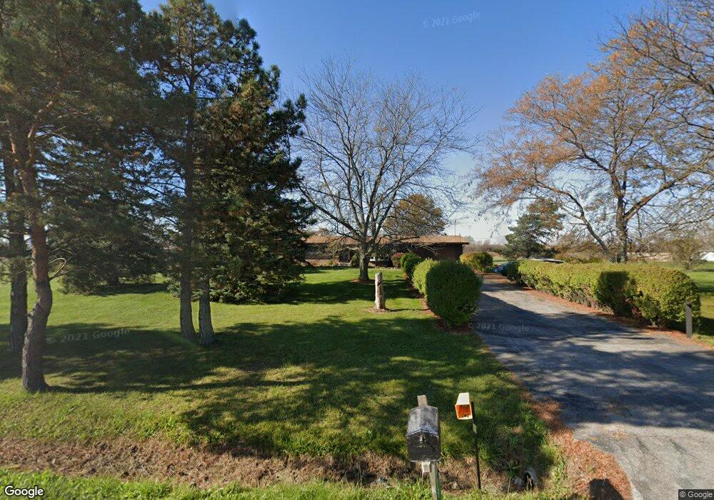
6579 Newport South Rd Newport, MI 48166
Estimated Value: $297,078 - $372,000
3
Beds
1
Bath
1,392
Sq Ft
$243/Sq Ft
Est. Value
About This Home
This home is located at 6579 Newport South Rd, Newport, MI 48166 and is currently estimated at $338,020, approximately $242 per square foot. 6579 Newport South Rd is a home located in Monroe County with nearby schools including Jefferson High School.
Ownership History
Date
Name
Owned For
Owner Type
Purchase Details
Closed on
Mar 6, 2017
Sold by
Abrams Frances L
Bought by
Hill Ii Robert W and Hill Felisha M
Current Estimated Value
Home Financials for this Owner
Home Financials are based on the most recent Mortgage that was taken out on this home.
Original Mortgage
$203,205
Outstanding Balance
$168,602
Interest Rate
4.19%
Mortgage Type
New Conventional
Estimated Equity
$169,418
Purchase Details
Closed on
Jul 14, 2016
Sold by
Palmer Margaret J and Palmer Brian T
Bought by
Palmer Margaret J and Abrams Frances L
Create a Home Valuation Report for This Property
The Home Valuation Report is an in-depth analysis detailing your home's value as well as a comparison with similar homes in the area
Home Values in the Area
Average Home Value in this Area
Purchase History
| Date | Buyer | Sale Price | Title Company |
|---|---|---|---|
| Hill Ii Robert W | $213,900 | First American Title | |
| Palmer Margaret J | -- | None Available |
Source: Public Records
Mortgage History
| Date | Status | Borrower | Loan Amount |
|---|---|---|---|
| Open | Hill Ii Robert W | $203,205 |
Source: Public Records
Tax History Compared to Growth
Tax History
| Year | Tax Paid | Tax Assessment Tax Assessment Total Assessment is a certain percentage of the fair market value that is determined by local assessors to be the total taxable value of land and additions on the property. | Land | Improvement |
|---|---|---|---|---|
| 2025 | $3,419 | $119,900 | $119,900 | $0 |
| 2024 | $1,245 | $115,300 | $0 | $0 |
| 2023 | $1,215 | $107,200 | $0 | $0 |
| 2022 | $3,208 | $107,200 | $0 | $0 |
| 2021 | $3,122 | $106,900 | $0 | $0 |
| 2020 | $3,183 | $103,300 | $0 | $0 |
| 2019 | $3,297 | $103,300 | $0 | $0 |
| 2018 | $3,507 | $98,400 | $0 | $0 |
| 2017 | $935 | $98,400 | $0 | $0 |
| 2016 | $2,554 | $96,200 | $0 | $0 |
| 2015 | $2,471 | $84,800 | $0 | $0 |
| 2014 | $2,438 | $84,800 | $0 | $0 |
| 2013 | -- | $82,900 | $0 | $0 |
Source: Public Records
Map
Nearby Homes
- 0 Williams Rd Unit 50112219
- 7393 Newport Rd S
- 0 Nadeau Rd
- 5437 Mustang Dr
- 0 N Stoney Creek Rd Unit 50188927
- 5022 N Stoney Creek Rd
- 2831 Nadeau Rd
- 000 N Dixie
- 6700 N Stony Creek Rd
- 8199 Hunters Ridge Dr
- 8187 Hunters Ridge Dr
- 6470 S Stony Creek Rd
- 8139 Hunters Ridge Dr
- 00000 N Dixie Hwy
- 8127 Hunters Ridge Dr
- 4468 Partridge Ln
- 8103 Hunters Ridge Dr
- 8091 Hunters Ridge Dr
- 8118 Hunters Ridge Dr
- 8082 Hunters Ridge Dr
- 6551 Newport South Rd
- 6551 Newport South Rd Unit Bldg-Unit
- 6551 Newport South Rd
- 6535 Newport South Rd
- 6540 Newport South Rd
- 6556 Newport South Rd
- 6522 Newport South Rd
- 6556 Newport Rd S
- 6623 Newport South Rd
- 6620 Newport South Rd
- 6623 Newport Rd S
- 6685 Newport South Rd
- 6770 Newport South Rd
- 6775 Newport South Rd
- 6775 Newport South Rd
- 6255 Newport South Rd
- 6800 Newport South Rd
- 6800 Newport South Rd
- 6800 Newport Rd S
- 6843 Newport