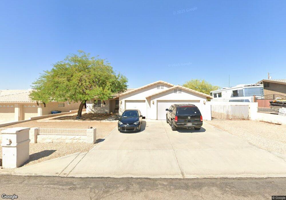
658 Apache Dr Lake Havasu City, AZ 86406
Estimated Value: $408,000 - $503,000
3
Beds
2
Baths
1,265
Sq Ft
$351/Sq Ft
Est. Value
About This Home
This home is located at 658 Apache Dr, Lake Havasu City, AZ 86406 and is currently estimated at $444,302, approximately $351 per square foot. 658 Apache Dr is a home located in Mohave County with nearby schools including Starline Elementary School, Thunderbolt Middle School, and Lake Havasu High School.
Ownership History
Date
Name
Owned For
Owner Type
Purchase Details
Closed on
Feb 27, 2006
Sold by
Martinez Jose Antonio and De Jesus Martinez Maria
Bought by
Mendoza Amailly D
Current Estimated Value
Home Financials for this Owner
Home Financials are based on the most recent Mortgage that was taken out on this home.
Original Mortgage
$203,200
Outstanding Balance
$118,070
Interest Rate
6.65%
Mortgage Type
Balloon
Estimated Equity
$326,232
Create a Home Valuation Report for This Property
The Home Valuation Report is an in-depth analysis detailing your home's value as well as a comparison with similar homes in the area
Home Values in the Area
Average Home Value in this Area
Purchase History
| Date | Buyer | Sale Price | Title Company |
|---|---|---|---|
| Mendoza Amailly D | $254,000 | Transnation Title |
Source: Public Records
Mortgage History
| Date | Status | Borrower | Loan Amount |
|---|---|---|---|
| Open | Mendoza Amailly D | $203,200 |
Source: Public Records
Tax History Compared to Growth
Tax History
| Year | Tax Paid | Tax Assessment Tax Assessment Total Assessment is a certain percentage of the fair market value that is determined by local assessors to be the total taxable value of land and additions on the property. | Land | Improvement |
|---|---|---|---|---|
| 2026 | $615 | -- | -- | -- |
| 2025 | $1,245 | $33,389 | $0 | $0 |
| 2024 | $1,245 | $35,901 | $0 | $0 |
| 2023 | $1,245 | $30,178 | $0 | $0 |
| 2022 | $1,199 | $23,038 | $0 | $0 |
| 2021 | $1,386 | $21,367 | $0 | $0 |
| 2019 | $1,318 | $18,308 | $0 | $0 |
| 2018 | $1,276 | $17,250 | $0 | $0 |
| 2017 | $1,254 | $16,646 | $0 | $0 |
| 2016 | $1,114 | $15,354 | $0 | $0 |
| 2015 | $1,086 | $13,312 | $0 | $0 |
Source: Public Records
Map
Nearby Homes
- 532 Roanoke Dr
- 2970 War Eagle Dr
- 3040 Gypsy Dr
- 3135 Cotati Dr
- 2910 Coconino Dr
- 786 Powder Dr
- 2997 Edgewood Dr
- 2951 Saddleback Dr
- 3150 Star Dr
- 700 Apache Dr
- 3066 Star Dr
- 815 Rolling Hills Plaza N
- 2876 Plaza Del Oro
- 680 Yosemite Dr
- 3651 Jamaica Blvd S
- 3306 Cinnamon Dr
- 691 Rolling Hills Dr
- 3235 Silverspoon Dr
- 2947 Jamaica Blvd S
- 3260 Silverspoon Dr
- 656 Apache Dr
- 660 Apache Dr
- 667 Apache Dr
- 665 Apache Dr
- 669 Apache Dr
- 652 Apache Dr
- 664 Apache Dr
- 560 War Eagle Plaza
- 564 War Eagle Plaza
- 568 War Eagle Plaza
- 671 Apache Dr
- 572 War Eagle Plaza
- 675 Thunderbolt Ave
- 685 Thunderbolt Ave
- 665 Thunderbolt Ave
- 650 Apache Dr
- 659 Thunderbolt Ave
- 687 Thunderbolt Ave
- 687 Thunderbolt Ave
- 556 War Eagle Plaza