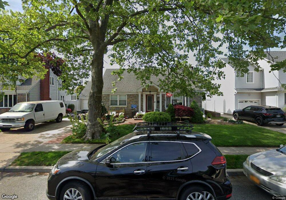
658 Knollwood Dr West Hempstead, NY 11552
Estimated Value: $684,576 - $843,000
--
Bed
1
Bath
1,277
Sq Ft
$598/Sq Ft
Est. Value
About This Home
This home is located at 658 Knollwood Dr, West Hempstead, NY 11552 and is currently estimated at $763,788, approximately $598 per square foot. 658 Knollwood Dr is a home located in Nassau County with nearby schools including Chestnut Street School, West Hempstead Secondary School, and Hebrew Academy of Nassau County (HANC).
Ownership History
Date
Name
Owned For
Owner Type
Purchase Details
Closed on
Sep 6, 2018
Sold by
Giordano Joseph and Giordano Andrea
Bought by
Allman R Jake and Allman Mellissa
Current Estimated Value
Home Financials for this Owner
Home Financials are based on the most recent Mortgage that was taken out on this home.
Original Mortgage
$560,250
Outstanding Balance
$488,616
Interest Rate
4.6%
Mortgage Type
New Conventional
Estimated Equity
$275,172
Purchase Details
Closed on
Jul 2, 2004
Sold by
Olcott Douglas
Bought by
Giordano Joseph
Create a Home Valuation Report for This Property
The Home Valuation Report is an in-depth analysis detailing your home's value as well as a comparison with similar homes in the area
Home Values in the Area
Average Home Value in this Area
Purchase History
| Date | Buyer | Sale Price | Title Company |
|---|---|---|---|
| Allman R Jake | $595,000 | Judicial Title | |
| Giordano Joseph | $414,000 | -- | |
| -- | -- | -- |
Source: Public Records
Mortgage History
| Date | Status | Borrower | Loan Amount |
|---|---|---|---|
| Open | Allman R Jake | $560,250 |
Source: Public Records
Tax History Compared to Growth
Tax History
| Year | Tax Paid | Tax Assessment Tax Assessment Total Assessment is a certain percentage of the fair market value that is determined by local assessors to be the total taxable value of land and additions on the property. | Land | Improvement |
|---|---|---|---|---|
| 2025 | $12,642 | $459 | $241 | $218 |
| 2024 | $4,993 | $455 | $238 | $217 |
| 2023 | $11,826 | $479 | $251 | $228 |
| 2022 | $11,826 | $479 | $251 | $228 |
| 2021 | $14,537 | $499 | $273 | $226 |
| 2020 | $12,641 | $640 | $639 | $1 |
| 2019 | $3,678 | $640 | $605 | $35 |
| 2018 | $3,681 | $682 | $0 | $0 |
| 2017 | $6,365 | $725 | $568 | $157 |
| 2016 | $10,128 | $768 | $602 | $166 |
| 2015 | $3,976 | $823 | $645 | $178 |
| 2014 | $3,976 | $823 | $645 | $178 |
| 2013 | $3,714 | $823 | $645 | $178 |
Source: Public Records
Map
Nearby Homes
- 600 Dogwood Ave
- 518 Nassau Blvd
- 582 Gaynor Place
- 708 Anderson Ave
- 791 Caryl St
- 576 Western Park Dr
- 350 Paul Place
- 757 Marion St
- 726 Meisser St
- 635 Hempstead Ave
- 613 Adams Ave
- 686 Tanwood Dr
- 590 Langley Ave
- 19 Richard St
- 816 Anderson Ave
- 771 Maple Place
- 303 Nassau Blvd
- 850 First Ave
- 537 Madison Ave
- 279 Semton Blvd
- 652 Knollwood Dr
- 664 Knollwood Dr
- 579 Junard Blvd
- 585 Junard Blvd
- 657 Knollwood Dr
- 670 Knollwood Dr
- 670 Knollwood Dr
- 591 Junard Blvd
- 657 Knollwood Dr
- 642 Knollwood Dr
- 573 Junard Blvd
- 549 Junard Blvd
- 643 Knollwood Dr
- 603 Junard Blvd
- 669 Knollwood Dr
- 535 Lindner Place
- 676 Knollwood Dr
- 609 Junard Blvd
- 540 Lindner Place
- 637 Knollwood Dr