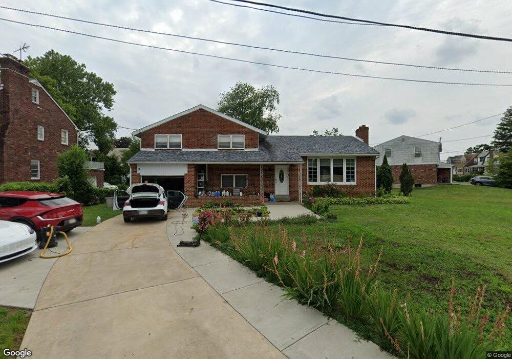
658 Ruskin Ln Lansdowne, PA 19050
Estimated Value: $268,000 - $342,000
3
Beds
3
Baths
2,016
Sq Ft
$150/Sq Ft
Est. Value
About This Home
This home is located at 658 Ruskin Ln, Lansdowne, PA 19050 and is currently estimated at $303,023, approximately $150 per square foot. 658 Ruskin Ln is a home located in Delaware County with nearby schools including Evans Elementary School, Penn Wood Middle School, and Penn Wood High School - Cypress Street Campus.
Ownership History
Date
Name
Owned For
Owner Type
Purchase Details
Closed on
Jul 18, 2018
Sold by
Carbonetti Teresa and Carbonetti Orem Mary Angela
Bought by
Manalo Sheryl Lyka Dana
Current Estimated Value
Purchase Details
Closed on
Feb 28, 2015
Sold by
Carbonetti Theresa and Carbonetti Christopher
Bought by
Carbonetti Theresa and Orem John
Purchase Details
Closed on
Oct 16, 1997
Sold by
Carbonetti Theresa
Bought by
Carbonetti Theresa and Carbonetti Christopher
Create a Home Valuation Report for This Property
The Home Valuation Report is an in-depth analysis detailing your home's value as well as a comparison with similar homes in the area
Home Values in the Area
Average Home Value in this Area
Purchase History
| Date | Buyer | Sale Price | Title Company |
|---|---|---|---|
| Manalo Sheryl Lyka Dana | $67,424 | None Available | |
| Carbonetti Theresa | -- | None Available | |
| Carbonetti Theresa | -- | -- |
Source: Public Records
Tax History Compared to Growth
Tax History
| Year | Tax Paid | Tax Assessment Tax Assessment Total Assessment is a certain percentage of the fair market value that is determined by local assessors to be the total taxable value of land and additions on the property. | Land | Improvement |
|---|---|---|---|---|
| 2025 | $7,067 | $165,490 | $57,010 | $108,480 |
| 2024 | $7,067 | $165,490 | $57,010 | $108,480 |
| 2023 | $6,418 | $165,490 | $57,010 | $108,480 |
| 2022 | $6,120 | $165,490 | $57,010 | $108,480 |
| 2021 | $9,254 | $165,490 | $57,010 | $108,480 |
| 2020 | $6,111 | $97,850 | $32,930 | $64,920 |
| 2019 | $6,003 | $97,850 | $32,930 | $64,920 |
| 2018 | $5,920 | $97,850 | $0 | $0 |
| 2017 | $5,796 | $97,850 | $0 | $0 |
| 2016 | $548 | $97,850 | $0 | $0 |
| 2015 | $548 | $97,850 | $0 | $0 |
| 2014 | $548 | $97,850 | $0 | $0 |
Source: Public Records
Map
Nearby Homes
- 1016 Whitby Ave
- 536 Cypress St
- 813 Arbor Rd
- 740 Church Ln
- 702 Cedar Ave
- 711 Yeadon Ave Unit 1
- 825 Laurel Rd
- 6030 Cedarhurst St
- 722 Yeadon Ave
- 6026 Baltimore Ave
- 6013 Baltimore Ave
- 800 Bullock Ave
- 1214 S 60th St
- 6005 Cedarhurst St
- 1212 S Millick St
- 503 Bonsall Ave
- 1201 S Millick St
- 1046 Cobbs Creek Pkwy
- 407 Church Ln
- 435 Bonsall Ave
- 660 Ruskin Ln
- 1104 Longacre Blvd
- 1102 Longacre Blvd
- 1200 S Longacre Blvd
- 617 W Cobbs Creek Pkwy
- 1209 S Longacre Blvd
- 1129 Whitby Ave
- 1125 Whitby Ave
- 1103 N Longacre Blvd
- 1105 N Longacre Blvd
- 1211 S Longacre Blvd
- 1123 Whitby Ave
- 1100 Longacre Blvd
- 619 W Cobbs Creek Pkwy
- 1204 S Longacre Blvd
- 1201 Whitby Ave
- 1215 S Longacre Blvd
- 625 W Cobbs Creek Pkwy
- 1205 Whitby Ave
- 1208 S Longacre Blvd