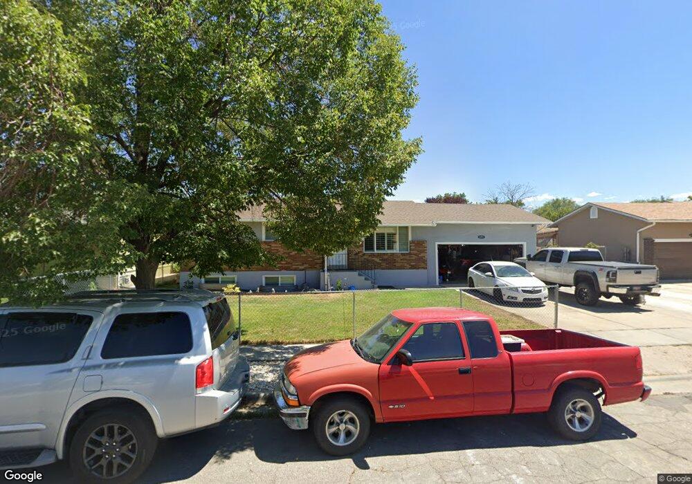
658 Sir Philip Dr Salt Lake City, UT 84116
Jordan Meadows NeighborhoodEstimated Value: $435,000 - $463,874
5
Beds
3
Baths
1,042
Sq Ft
$428/Sq Ft
Est. Value
About This Home
This home is located at 658 Sir Philip Dr, Salt Lake City, UT 84116 and is currently estimated at $445,469, approximately $427 per square foot. 658 Sir Philip Dr is a home located in Salt Lake County with nearby schools including Meadowlark School, Northwest Middle School, and West High.
Ownership History
Date
Name
Owned For
Owner Type
Purchase Details
Closed on
Sep 11, 2018
Sold by
Salazar Laura Araceli and Zuniga Martha
Bought by
Salazar Laura A and Juarez Josefina
Current Estimated Value
Home Financials for this Owner
Home Financials are based on the most recent Mortgage that was taken out on this home.
Original Mortgage
$130,000
Outstanding Balance
$113,378
Interest Rate
4.6%
Mortgage Type
New Conventional
Estimated Equity
$332,091
Purchase Details
Closed on
Aug 30, 2011
Sold by
Williams Edwin William and Williams Susan I
Bought by
Zuniga Martha and Salazar Laura Araceli
Purchase Details
Closed on
Aug 11, 2010
Sold by
Bloomquist Melba Joanne
Bought by
Williams Edwin William and Williams Susan I
Create a Home Valuation Report for This Property
The Home Valuation Report is an in-depth analysis detailing your home's value as well as a comparison with similar homes in the area
Home Values in the Area
Average Home Value in this Area
Purchase History
| Date | Buyer | Sale Price | Title Company |
|---|---|---|---|
| Salazar Laura A | -- | Metro National Title | |
| Zuniga Martha | -- | First American Title | |
| Williams Edwin William | -- | None Available |
Source: Public Records
Mortgage History
| Date | Status | Borrower | Loan Amount |
|---|---|---|---|
| Open | Salazar Laura A | $130,000 |
Source: Public Records
Tax History Compared to Growth
Tax History
| Year | Tax Paid | Tax Assessment Tax Assessment Total Assessment is a certain percentage of the fair market value that is determined by local assessors to be the total taxable value of land and additions on the property. | Land | Improvement |
|---|---|---|---|---|
| 2025 | $1,978 | $409,100 | $110,700 | $298,400 |
| 2024 | $1,978 | $377,400 | $104,800 | $272,600 |
| 2023 | $1,833 | $337,200 | $100,800 | $236,400 |
| 2022 | $1,973 | $340,500 | $98,800 | $241,700 |
| 2021 | $1,721 | $268,800 | $71,300 | $197,500 |
| 2020 | $1,685 | $250,500 | $63,700 | $186,800 |
| 2019 | $1,717 | $240,200 | $61,000 | $179,200 |
| 2018 | $0 | $191,300 | $64,300 | $127,000 |
| 2017 | $1,381 | $176,300 | $64,300 | $112,000 |
| 2016 | $1,312 | $159,000 | $61,800 | $97,200 |
| 2015 | $1,172 | $134,600 | $56,300 | $78,300 |
| 2014 | $1,118 | $127,400 | $55,000 | $72,400 |
Source: Public Records
Map
Nearby Homes
- 1978 Sir Robert Dr
- 555 N Starcrest Dr Unit B15
- 1860 W 500 N Unit 13
- 1860 W 500 N Unit 20
- 1860 W 500 N Unit 7
- 825 Star Crest Dr W
- 475 N Redwood Rd #58 Rd
- 475 N Redwood Rd Unit 49
- 949 Libby Way
- 548 N Redwood Rd
- 558 N Redwood Rd Unit 1
- 558 N Redwood Rd Unit 3
- 768 N Redwood Rd Unit 19
- 768 N Redwood Rd Unit 1
- 1827 Omni Ave
- 1004 N Sir Michael Dr
- 1711 W 400 N Unit 1719
- 1989 Sir Timothy Ave
- 1245 W Siena Cir
- 261 N Redwood Rd
- 658 N Sir Philip Dr
- 668 Sir Philip Dr
- 648 Sir Philip Dr
- 657 Sir Michael Dr
- 647 Sir Michael Dr
- 649 Sir Philip Dr W
- 638 Sir Philip Dr
- 649 N Sir Philip Dr
- 649 Sir Philip Dr
- 1977 W Sir James Dr
- 1977 Sir James Dr
- 639 Sir Philip Dr W
- 639 Sir Philip Dr
- 659 N Sir Philip Dr
- 659 Sir Philip Dr
- 639 N Sir Philip Dr
- 639 N Sir Philip Dr Unit 1990
- 637 N Sir Michael Dr
- 637 Sir Michael Dr
- 1967 Sir James Dr