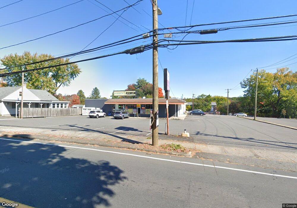
658 Stafford Ave Unit LL Bristol, CT 06010
Forestville NeighborhoodEstimated Value: $837,344
--
Bed
--
Bath
9,504
Sq Ft
$88/Sq Ft
Est. Value
About This Home
This home is located at 658 Stafford Ave Unit LL, Bristol, CT 06010 and is currently estimated at $837,344, approximately $88 per square foot. 658 Stafford Ave Unit LL is a home located in Hartford County with nearby schools including Northeast Middle School, Bristol Eastern High School, and St Matthew School.
Ownership History
Date
Name
Owned For
Owner Type
Purchase Details
Closed on
Jul 18, 2022
Sold by
Patel Bharat
Bought by
Pushpam2 Llc
Current Estimated Value
Purchase Details
Closed on
Jan 24, 2005
Sold by
Posa Steven A and Cerrone Nicholas D
Bought by
Patel Bharat
Home Financials for this Owner
Home Financials are based on the most recent Mortgage that was taken out on this home.
Original Mortgage
$455,000
Interest Rate
6.5%
Mortgage Type
Commercial
Create a Home Valuation Report for This Property
The Home Valuation Report is an in-depth analysis detailing your home's value as well as a comparison with similar homes in the area
Home Values in the Area
Average Home Value in this Area
Purchase History
| Date | Buyer | Sale Price | Title Company |
|---|---|---|---|
| Pushpam2 Llc | $655,000 | None Available | |
| Patel Bharat | $535,000 | -- |
Source: Public Records
Mortgage History
| Date | Status | Borrower | Loan Amount |
|---|---|---|---|
| Previous Owner | Patel Bharat | $100,000 | |
| Previous Owner | Patel Bharat | $455,000 |
Source: Public Records
Tax History Compared to Growth
Tax History
| Year | Tax Paid | Tax Assessment Tax Assessment Total Assessment is a certain percentage of the fair market value that is determined by local assessors to be the total taxable value of land and additions on the property. | Land | Improvement |
|---|---|---|---|---|
| 2025 | $16,743 | $496,090 | $96,110 | $399,980 |
| 2024 | $15,800 | $496,090 | $96,110 | $399,980 |
| 2023 | $15,056 | $496,090 | $96,110 | $399,980 |
| 2022 | $14,405 | $375,620 | $83,650 | $291,970 |
| 2021 | $14,405 | $375,620 | $83,650 | $291,970 |
| 2020 | $14,375 | $374,850 | $82,880 | $291,970 |
| 2019 | $14,263 | $374,850 | $82,880 | $291,970 |
| 2018 | $13,824 | $374,850 | $82,880 | $291,970 |
| 2017 | $11,665 | $323,750 | $87,570 | $236,180 |
| 2016 | $11,665 | $323,750 | $87,570 | $236,180 |
| 2015 | $11,205 | $323,750 | $87,570 | $236,180 |
| 2014 | $11,205 | $323,750 | $87,570 | $236,180 |
Source: Public Records
Map
Nearby Homes
- 658 Stafford Ave
- 670 Stafford Ave
- 18 Elizabeth Rd
- 674 Stafford Ave
- 642 Stafford Ave
- 642 Stafford Ave Unit 1
- 642 Stafford Ave Unit 6
- 642 Stafford Ave Unit 5
- 642 Stafford Ave Unit 4
- 642 Stafford Ave Unit 3
- 642 Stafford Ave Unit 2
- 26 Elizabeth Rd
- 661 Stafford Ave
- 680 Stafford Ave
- 657 Stafford Ave
- 659 Stafford Ave
- 35 Beths Ave Unit 59
- 35 Beths Ave Unit 57
- 35 Beths Ave Unit 54
- 35 Beths Ave