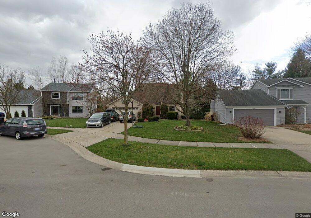
658 Trego Cir Ann Arbor, MI 48103
Liberty Glen NeighborhoodEstimated Value: $452,043 - $529,000
3
Beds
5
Baths
1,774
Sq Ft
$282/Sq Ft
Est. Value
About This Home
This home is located at 658 Trego Cir, Ann Arbor, MI 48103 and is currently estimated at $500,011, approximately $281 per square foot. 658 Trego Cir is a home located in Washtenaw County with nearby schools including Lakewood Elementary School, Forsythe Middle School, and Skyline High School.
Ownership History
Date
Name
Owned For
Owner Type
Purchase Details
Closed on
Sep 21, 2004
Sold by
Riccardi John F and Riccardi Jack Glen
Bought by
Wason Jeff W and Anderson Julie
Current Estimated Value
Home Financials for this Owner
Home Financials are based on the most recent Mortgage that was taken out on this home.
Original Mortgage
$145,000
Outstanding Balance
$72,076
Interest Rate
5.93%
Mortgage Type
Unknown
Estimated Equity
$427,935
Purchase Details
Closed on
Jan 9, 2004
Sold by
Butler J Russell and Kirschner Denise E
Bought by
Riccardi John F and Riccardi Jack Glen
Home Financials for this Owner
Home Financials are based on the most recent Mortgage that was taken out on this home.
Original Mortgage
$229,200
Interest Rate
6.25%
Mortgage Type
Unknown
Create a Home Valuation Report for This Property
The Home Valuation Report is an in-depth analysis detailing your home's value as well as a comparison with similar homes in the area
Home Values in the Area
Average Home Value in this Area
Purchase History
| Date | Buyer | Sale Price | Title Company |
|---|---|---|---|
| Wason Jeff W | $295,500 | Liberty Title Agency | |
| Riccardi John F | $286,500 | -- |
Source: Public Records
Mortgage History
| Date | Status | Borrower | Loan Amount |
|---|---|---|---|
| Open | Wason Jeff W | $145,000 | |
| Previous Owner | Riccardi John F | $229,200 |
Source: Public Records
Tax History Compared to Growth
Tax History
| Year | Tax Paid | Tax Assessment Tax Assessment Total Assessment is a certain percentage of the fair market value that is determined by local assessors to be the total taxable value of land and additions on the property. | Land | Improvement |
|---|---|---|---|---|
| 2025 | $7,060 | $207,100 | $0 | $0 |
| 2024 | $6,574 | $198,800 | $0 | $0 |
| 2023 | $6,062 | $181,300 | $0 | $0 |
| 2022 | $6,606 | $163,600 | $0 | $0 |
| 2021 | $6,450 | $170,800 | $0 | $0 |
| 2020 | $6,320 | $165,300 | $0 | $0 |
| 2019 | $6,014 | $162,400 | $162,400 | $0 |
| 2018 | $5,930 | $153,500 | $0 | $0 |
| 2017 | $5,768 | $153,100 | $0 | $0 |
| 2016 | $4,914 | $115,349 | $0 | $0 |
| 2015 | $5,300 | $115,004 | $0 | $0 |
| 2014 | $5,300 | $111,411 | $0 | $0 |
| 2013 | -- | $111,411 | $0 | $0 |
Source: Public Records
Map
Nearby Homes
- 609 Liberty Pointe Dr Unit 45
- 324 Highlake Ave
- 922 W Summerfield Glen Cir Unit 110
- 1008 W Summerfield Glen Cir
- 3177 Sunnywood Dr
- 2564 W Towne St
- 3224 Lakewood Dr
- 570 S Maple Rd
- 2509 W Liberty St
- 1053 Bluestem Ln
- 1366 N Bay Dr Unit 144
- 2149 Fair St
- 1225 S Maple Rd Unit 307
- 1235 S Maple Rd Unit 101
- 1235 S Maple Rd Unit 202
- 1419 N Bay Dr Unit 73
- 1265 S Maple Rd Unit 207
- 2120 Pauline Blvd Unit 305
- 2052 Liberty Heights
- 2126 Pauline Blvd Unit 104