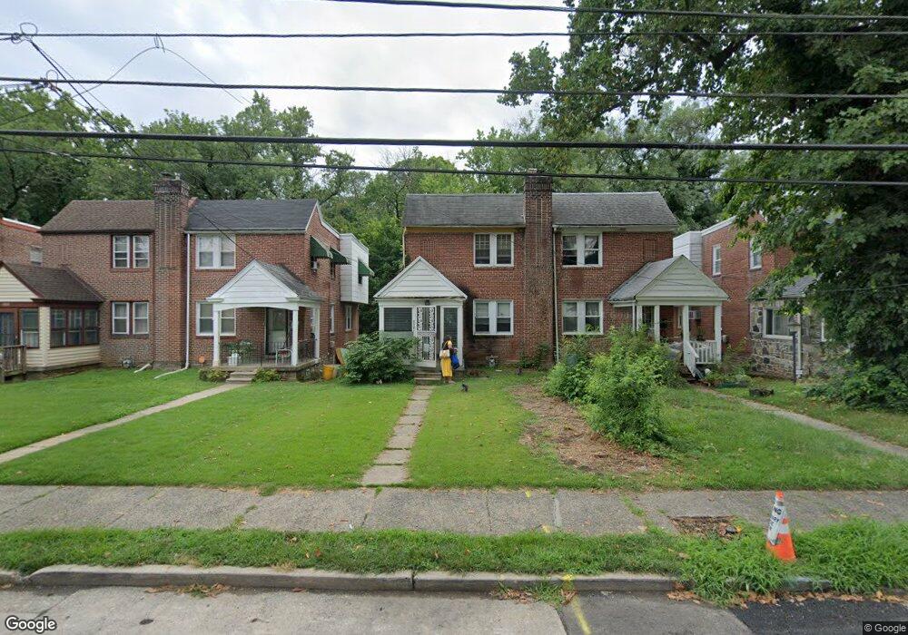
658 Yeadon Ave Lansdowne, PA 19050
Estimated Value: $186,000 - $258,000
3
Beds
2
Baths
1,254
Sq Ft
$176/Sq Ft
Est. Value
About This Home
This home is located at 658 Yeadon Ave, Lansdowne, PA 19050 and is currently estimated at $220,171, approximately $175 per square foot. 658 Yeadon Ave is a home located in Delaware County with nearby schools including Evans Elementary School, Penn Wood Middle School, and Penn Wood High School - Cypress Street Campus.
Ownership History
Date
Name
Owned For
Owner Type
Purchase Details
Closed on
Mar 28, 2005
Sold by
Morton Earl
Bought by
Mcclellan Sharon D
Current Estimated Value
Home Financials for this Owner
Home Financials are based on the most recent Mortgage that was taken out on this home.
Original Mortgage
$93,629
Outstanding Balance
$48,599
Interest Rate
5.87%
Mortgage Type
FHA
Estimated Equity
$171,572
Create a Home Valuation Report for This Property
The Home Valuation Report is an in-depth analysis detailing your home's value as well as a comparison with similar homes in the area
Home Values in the Area
Average Home Value in this Area
Purchase History
| Date | Buyer | Sale Price | Title Company |
|---|---|---|---|
| Mcclellan Sharon D | $94,370 | Long & Foster Settlement Svc |
Source: Public Records
Mortgage History
| Date | Status | Borrower | Loan Amount |
|---|---|---|---|
| Open | Mcclellan Sharon D | $93,629 |
Source: Public Records
Tax History Compared to Growth
Tax History
| Year | Tax Paid | Tax Assessment Tax Assessment Total Assessment is a certain percentage of the fair market value that is determined by local assessors to be the total taxable value of land and additions on the property. | Land | Improvement |
|---|---|---|---|---|
| 2025 | $5,044 | $118,130 | $35,300 | $82,830 |
| 2024 | $5,044 | $118,130 | $35,300 | $82,830 |
| 2023 | $4,581 | $118,130 | $35,300 | $82,830 |
| 2022 | $4,368 | $118,130 | $35,300 | $82,830 |
| 2021 | $6,606 | $118,130 | $35,300 | $82,830 |
| 2020 | $4,332 | $69,370 | $20,370 | $49,000 |
| 2019 | $4,256 | $69,370 | $20,370 | $49,000 |
| 2018 | $4,197 | $69,370 | $0 | $0 |
| 2017 | $4,109 | $69,370 | $0 | $0 |
| 2016 | $381 | $69,370 | $0 | $0 |
| 2015 | $381 | $69,370 | $0 | $0 |
| 2014 | $381 | $69,370 | $0 | $0 |
Source: Public Records
Map
Nearby Homes
- 702 Cedar Ave
- 711 Yeadon Ave Unit 1
- 722 Yeadon Ave
- 740 Church Ln
- 800 Bullock Ave
- 537 Orchard Ave
- 530 Orchard Ave
- 503 Bonsall Ave
- 808 Serrill Ave
- 813 Arbor Rd
- 536 Cypress St
- 825 Laurel Rd
- 1016 Whitby Ave
- 435 Bonsall Ave
- 908 Yeadon Ave
- 921 Serrill Ave
- 407 Church Ln
- 603 Penn St
- 939 Serrill Ave
- 923 Bell Ave