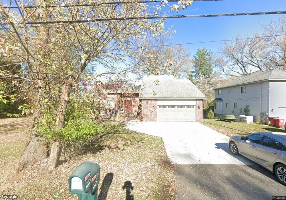
6582 Brockhurst Blvd West Bloomfield, MI 48322
Estimated Value: $410,000 - $457,000
3
Beds
3
Baths
2,071
Sq Ft
$211/Sq Ft
Est. Value
About This Home
This home is located at 6582 Brockhurst Blvd, West Bloomfield, MI 48322 and is currently estimated at $436,959, approximately $210 per square foot. 6582 Brockhurst Blvd is a home located in Oakland County with nearby schools including Walled Lake Central High School, The Susan And Rabbi Harold Loss Ecc, and Brookfield Academy - West Bloomfield.
Ownership History
Date
Name
Owned For
Owner Type
Purchase Details
Closed on
Apr 21, 2008
Sold by
Rangers Ins Co
Bought by
Starler Howard and Starler Leslie
Current Estimated Value
Home Financials for this Owner
Home Financials are based on the most recent Mortgage that was taken out on this home.
Original Mortgage
$115,000
Interest Rate
5.93%
Mortgage Type
Credit Line Revolving
Purchase Details
Closed on
Dec 12, 2004
Sold by
Starler Howard and Starler Leslie
Bought by
Rangers Insurance Co and Freedom Bail Bonds Agency Inc
Create a Home Valuation Report for This Property
The Home Valuation Report is an in-depth analysis detailing your home's value as well as a comparison with similar homes in the area
Home Values in the Area
Average Home Value in this Area
Purchase History
| Date | Buyer | Sale Price | Title Company |
|---|---|---|---|
| Starler Howard | $25,000 | Fiserv Lending Solutions | |
| Rangers Insurance Co | $25,000 | None Available |
Source: Public Records
Mortgage History
| Date | Status | Borrower | Loan Amount |
|---|---|---|---|
| Closed | Starler Howard | $115,000 |
Source: Public Records
Tax History Compared to Growth
Tax History
| Year | Tax Paid | Tax Assessment Tax Assessment Total Assessment is a certain percentage of the fair market value that is determined by local assessors to be the total taxable value of land and additions on the property. | Land | Improvement |
|---|---|---|---|---|
| 2024 | $2,563 | $204,590 | $0 | $0 |
| 2022 | $3,903 | $165,140 | $24,000 | $141,140 |
| 2021 | $3,973 | $155,070 | $0 | $0 |
| 2020 | $2,388 | $150,920 | $24,000 | $126,920 |
| 2018 | $3,868 | $132,290 | $24,000 | $108,290 |
| 2015 | -- | $115,970 | $0 | $0 |
| 2014 | -- | $110,410 | $0 | $0 |
| 2011 | -- | $99,250 | $0 | $0 |
Source: Public Records
Map
Nearby Homes
- 6606 Leytonstone Blvd
- VL Leytonstone Blvd
- 5570 Wildrose Ave
- 0000 Blue Jay Way
- 6579 Noble Rd
- 6433 Walnut Lake Rd
- 5676 Hillcrest Cir E
- 5608 Hillcrest Cir W Unit 80
- 5616 Hillcrest Cir W
- 7220 Essex Dr
- 6196 Celeste Rd
- 5512 Essex Ct
- 7230 Walnut Lake Rd
- 5679 Branford Dr
- 7065 Deerwood Trail Unit 27
- 5959 Bella Vista Dr
- 5994 Glen Eagles Dr
- 7400 Tall Timbers
- 7647 Larchwood Dr
- 6630 Heron Point
- 6568 Brockhurst Blvd
- 6575 Leytonstone Blvd
- 6554 Brockhurst Blvd
- 6563 Leytonstone Blvd
- 6590 Brockhurst Blvd
- 6625 Leytonstone Blvd
- 0000 Swan St
- 000 Swan St
- 0 Swan Unit 4923548
- 0 Swan Unit 868554
- 0 Swan Unit R213043912
- 36642 Quakertown Ln Brockhurst Blvd
- 5621 Valentine St
- 5610 Swan St
- 5612 Valentine St
- 6540 Brockhurst Blvd
- 5625 Valentine St
- 6562 Leytonstone Blvd
- 6580 Leytonstone Blvd
- 5585 Loyalty Ave