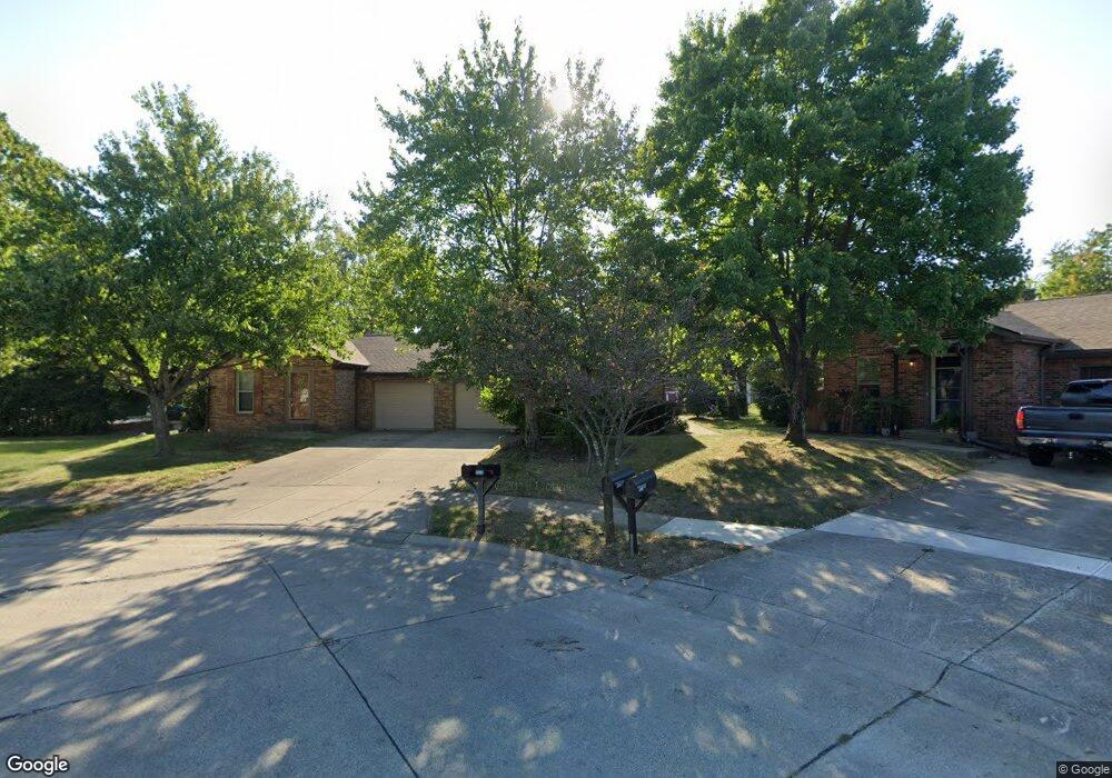
6582 Hawksway Ct Unit 584 Columbus, OH 43231
Northern Woods NeighborhoodEstimated Value: $366,000 - $416,000
4
Beds
4
Baths
2,134
Sq Ft
$185/Sq Ft
Est. Value
About This Home
This home is located at 6582 Hawksway Ct Unit 584, Columbus, OH 43231 and is currently estimated at $394,463, approximately $184 per square foot. 6582 Hawksway Ct Unit 584 is a home located in Franklin County with nearby schools including Cherrington Elementary School, Genoa Middle School, and Westerville South High School.
Ownership History
Date
Name
Owned For
Owner Type
Purchase Details
Closed on
Nov 19, 2010
Sold by
Rank Evon L
Bought by
Rank Thomas E
Current Estimated Value
Purchase Details
Closed on
Jun 25, 1998
Sold by
Four J Enterprises Inc
Bought by
Rank Thomas E and Rank Evon L
Home Financials for this Owner
Home Financials are based on the most recent Mortgage that was taken out on this home.
Original Mortgage
$94,400
Interest Rate
7.18%
Purchase Details
Closed on
Nov 14, 1991
Purchase Details
Closed on
Sep 1, 1980
Create a Home Valuation Report for This Property
The Home Valuation Report is an in-depth analysis detailing your home's value as well as a comparison with similar homes in the area
Home Values in the Area
Average Home Value in this Area
Purchase History
| Date | Buyer | Sale Price | Title Company |
|---|---|---|---|
| Rank Thomas E | -- | Attorney | |
| Rank Thomas E | $135,000 | -- | |
| -- | $112,000 | -- | |
| -- | $95,000 | -- |
Source: Public Records
Mortgage History
| Date | Status | Borrower | Loan Amount |
|---|---|---|---|
| Closed | Rank Thomas E | $94,400 |
Source: Public Records
Tax History Compared to Growth
Tax History
| Year | Tax Paid | Tax Assessment Tax Assessment Total Assessment is a certain percentage of the fair market value that is determined by local assessors to be the total taxable value of land and additions on the property. | Land | Improvement |
|---|---|---|---|---|
| 2024 | $7,953 | $104,690 | $29,400 | $75,290 |
| 2023 | $5,218 | $104,685 | $29,400 | $75,285 |
| 2022 | $6,863 | $68,640 | $15,330 | $53,310 |
| 2021 | $4,601 | $68,640 | $15,330 | $53,310 |
| 2020 | $4,543 | $68,640 | $15,330 | $53,310 |
| 2019 | $3,788 | $54,880 | $12,250 | $42,630 |
| 2018 | $3,878 | $54,880 | $12,250 | $42,630 |
| 2017 | $3,900 | $54,880 | $12,250 | $42,630 |
| 2016 | $4,082 | $54,400 | $13,480 | $40,920 |
| 2015 | $4,049 | $54,400 | $13,480 | $40,920 |
| 2014 | $4,052 | $54,400 | $13,480 | $40,920 |
| 2013 | $2,125 | $57,260 | $14,175 | $43,085 |
Source: Public Records
Map
Nearby Homes
- 0 Cooper Rd
- 2700 Christine Blvd Unit A
- 2659 Christine Blvd Unit D
- 465 W Schrock Rd
- 2540 Home Acre Dr Unit 38
- 2817 Bella Via Ave
- 6125 Pelican Pointe Unit 304
- 502 Foxtrail Cir E Unit 502
- 3048 Highcliff Ct
- 3038 Highcliff Ct
- 3054 Highcliff Ct Unit 3054
- 247 Foxtrail Place
- 3072 Highcliff Ct Unit 3072
- 3070 Highcliff Ct Unit 3070
- 3001 Cooper Bluff Dr Unit 3001
- 25 King Arthur Blvd
- 2623 Blendon Woods Blvd
- 6790 Maple Canyon Ave
- 5879 Ravine View Ct
- 6760 Maple Canyon Ave
- 6574 Hawksway Ct Unit 576
- 6590 Hawksway Ct Unit 592
- 6905 Cooper Rd
- 6903 Cooper Rd
- 2855 Cooper Ridge Rd
- 6917 Cooper Rd
- 6579 Hawksway Ct Unit 581
- 6587 Hawksway Ct Unit 589
- 2848 Cooper Ridge Rd
- 6963 Cooper Rd
- 2834 Cooper Ridge Rd
- 6598 Farlook Ct Unit 600
- 6867 Cooper Rd
- 2867 Cooper Ridge Rd
- 6592 Farlook Ct Unit 594
- 2860 Cooper Ridge Rd
- 6981 Cooper Rd
- 2820 Cooper Ridge Rd
- 2871 Shady Ridge Dr
- 2839 Shady Ridge Dr