6582 Noble Rd Unit 29 West Bloomfield, MI 48322
Estimated Value: $344,188 - $393,000
2
Beds
3
Baths
1,990
Sq Ft
$184/Sq Ft
Est. Value
About This Home
This home is located at 6582 Noble Rd Unit 29, West Bloomfield, MI 48322 and is currently estimated at $365,797, approximately $183 per square foot. 6582 Noble Rd Unit 29 is a home located in Oakland County with nearby schools including Walled Lake Central High School, The Susan And Rabbi Harold Loss Ecc, and Brookfield Academy - West Bloomfield.
Ownership History
Date
Name
Owned For
Owner Type
Purchase Details
Closed on
Oct 31, 2007
Sold by
Hoy Kristin and Sirkka L Gudan Credit Shelter
Bought by
Payton Keyon S
Current Estimated Value
Purchase Details
Closed on
Aug 24, 1998
Sold by
Gudan Family Liv Tr
Bought by
Sirkka L Gudan Tr
Create a Home Valuation Report for This Property
The Home Valuation Report is an in-depth analysis detailing your home's value as well as a comparison with similar homes in the area
Home Values in the Area
Average Home Value in this Area
Purchase History
| Date | Buyer | Sale Price | Title Company |
|---|---|---|---|
| Payton Keyon S | $185,000 | None Available | |
| Sirkka L Gudan Tr | -- | -- |
Source: Public Records
Tax History Compared to Growth
Tax History
| Year | Tax Paid | Tax Assessment Tax Assessment Total Assessment is a certain percentage of the fair market value that is determined by local assessors to be the total taxable value of land and additions on the property. | Land | Improvement |
|---|---|---|---|---|
| 2024 | $1,901 | $159,360 | $0 | $0 |
| 2022 | $1,793 | $137,720 | $27,000 | $110,720 |
| 2021 | $5,400 | $132,210 | $0 | $0 |
| 2020 | $1,772 | $131,680 | $27,450 | $104,230 |
| 2018 | $2,870 | $120,960 | $27,450 | $93,510 |
| 2015 | -- | $88,410 | $0 | $0 |
| 2014 | -- | $83,450 | $0 | $0 |
| 2011 | -- | $85,750 | $0 | $0 |
Source: Public Records
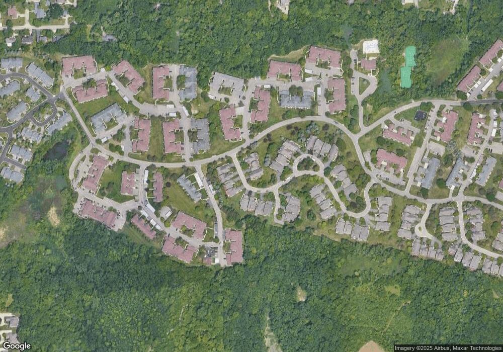
Map
Nearby Homes
- 6196 Celeste Rd
- 5616 Hillcrest Cir W
- 6606 Leytonstone Blvd
- VL Leytonstone Blvd
- 5676 Hillcrest Cir E
- 5608 Hillcrest Cir W Unit 80
- 5570 Wildrose Ave
- 0000 Blue Jay Way
- 6433 Walnut Lake Rd
- 5965 Crestwood Dr
- 5679 Branford Dr
- 6517 Chelsea Bridge
- 6986 Crosswell Dr
- 5835 Drake Rd
- 6993 Crosswell Dr
- 6740 Ridgefield Cir Unit 103
- 7220 Essex Dr
- 6540 Ridgefield Cir Unit 204
- 5727 Royal Wood
- 6693 Maple Lakes Dr Unit 62
- 6584 Noble Rd
- 6584 Noble Rd Unit 28
- 6580 Noble Rd Unit 30
- 6560 Noble Rd
- 6577 Noble Rd
- 6550 Noble Ct
- 6550 Noble Ct Unit 32
- 6581 Noble Rd Unit 26
- 6583 Noble Rd
- 6579 Noble Rd Unit 25
- 6573 Noble Rd
- 6575 Noble Rd Unit 23
- 6571 Noble Rd
- 6540 Noble Ct
- 6530 Noble Ct Unit 34
- 6569 Pastor Ct Unit 20
- 6569 Pastor Ct Unit 20
- 6520 Noble Ct
- 6545 Pastor Ct
- 6545 Pastor Ct