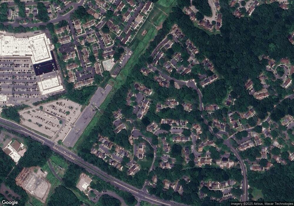
6583 Forest Dew Ct Springfield, VA 22152
Estimated Value: $496,768 - $587,000
3
Beds
2
Baths
1,126
Sq Ft
$482/Sq Ft
Est. Value
About This Home
This home is located at 6583 Forest Dew Ct, Springfield, VA 22152 and is currently estimated at $542,442, approximately $481 per square foot. 6583 Forest Dew Ct is a home located in Fairfax County with nearby schools including Keene Mill Elementary School, Lake Braddock Secondary School, and Nativity Catholic School.
Ownership History
Date
Name
Owned For
Owner Type
Purchase Details
Closed on
Jul 15, 2016
Sold by
Carey Jina M
Bought by
The Carey & Micieli Family Trust
Current Estimated Value
Purchase Details
Closed on
Aug 24, 1999
Sold by
Smith Janet M
Bought by
Carey Jina
Home Financials for this Owner
Home Financials are based on the most recent Mortgage that was taken out on this home.
Original Mortgage
$122,700
Interest Rate
7.53%
Create a Home Valuation Report for This Property
The Home Valuation Report is an in-depth analysis detailing your home's value as well as a comparison with similar homes in the area
Home Values in the Area
Average Home Value in this Area
Purchase History
| Date | Buyer | Sale Price | Title Company |
|---|---|---|---|
| The Carey & Micieli Family Trust | -- | None Available | |
| Carey Jina | $122,800 | -- |
Source: Public Records
Mortgage History
| Date | Status | Borrower | Loan Amount |
|---|---|---|---|
| Previous Owner | Carey Jina | $122,700 |
Source: Public Records
Tax History
| Year | Tax Paid | Tax Assessment Tax Assessment Total Assessment is a certain percentage of the fair market value that is determined by local assessors to be the total taxable value of land and additions on the property. | Land | Improvement |
|---|---|---|---|---|
| 2025 | $5,393 | $508,850 | $160,000 | $348,850 |
| 2024 | $5,393 | $465,510 | $145,000 | $320,510 |
| 2023 | $4,938 | $437,540 | $135,000 | $302,540 |
| 2022 | $4,731 | $413,730 | $125,000 | $288,730 |
| 2021 | $4,487 | $382,350 | $115,000 | $267,350 |
| 2020 | $4,328 | $365,730 | $115,000 | $250,730 |
| 2019 | $4,156 | $351,180 | $105,000 | $246,180 |
| 2018 | $3,995 | $347,390 | $105,000 | $242,390 |
| 2017 | $3,700 | $318,730 | $90,000 | $228,730 |
| 2016 | $3,640 | $314,200 | $90,000 | $224,200 |
Source: Public Records
Map
Nearby Homes
- 6433 Fenestra Ct Unit 56B
- 6427 Old Scotts Ct
- 6319 Fenestra Ct Unit 138A
- 6360 Draco St
- 6214 Garretson St
- 6639 Green Ash Dr
- 9075 Andromeda Dr
- 6802 Sydenstricker Rd
- 6246 Hillside Rd
- 6606 Huntsman Blvd
- 9436 William Kirk Ln
- 8905 Side Saddle Rd
- 9473 Cloverdale Ct
- 9512 Meadow Grove Ct
- 9102 Red Lion Tavern Ct
- 6015 Ticonderoga Ct
- 6143 Green Hollow Ct
- 6519 Sara Alyce Ct
- 6027 Bonnie Bern Ct
- 7121 Red Horse Tavern Ln
- 6585 Forest Dew Ct
- 6581 Forest Dew Ct
- 6587 Forest Dew Ct
- 6589 Forest Dew Ct
- 6591 Forest Dew Ct
- 6593 Forest Dew Ct
- 6595 Forest Dew Ct
- 6579 Forest Dew Ct
- 6577 Forest Dew Ct
- 6575 Forest Dew Ct
- 9144 Oshad Ln
- 9146 Oshad Ln
- 6597 Forest Dew Ct
- 6573 Forest Dew Ct
- 9148 Oshad Ln
- 9150 Oshad Ln
- 6571 Forest Dew Ct
- 6569 Forest Dew Ct
- 6599 Forest Dew Ct
- 6592 Forest Dew Ct
Your Personal Tour Guide
Ask me questions while you tour the home.
