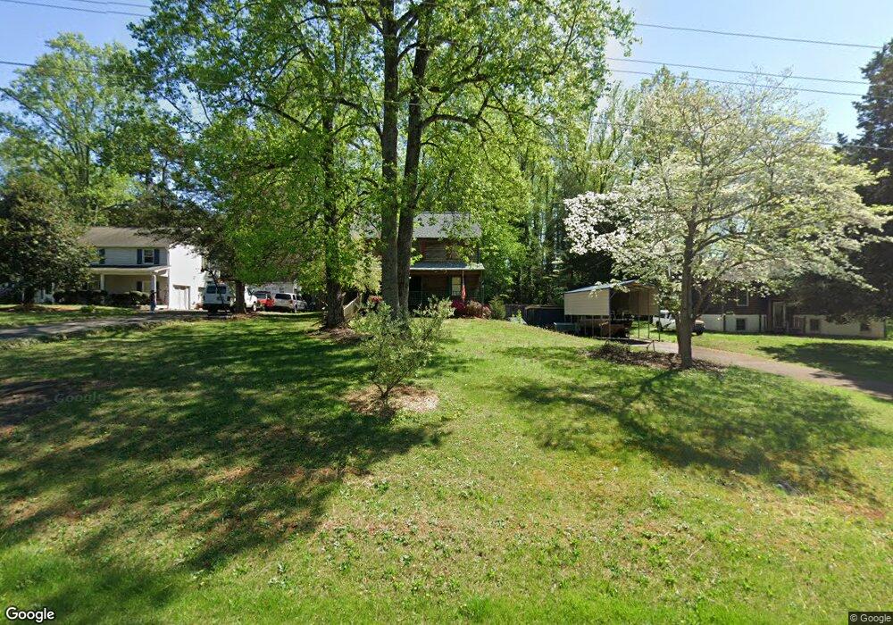
6584 Jonathan St Pfafftown, NC 27040
Estimated Value: $249,000 - $287,000
3
Beds
2
Baths
1,503
Sq Ft
$175/Sq Ft
Est. Value
About This Home
This home is located at 6584 Jonathan St, Pfafftown, NC 27040 and is currently estimated at $263,245, approximately $175 per square foot. 6584 Jonathan St is a home located in Forsyth County with nearby schools including Vienna Elementary School, Thomas Jefferson Middle School, and Ronald W. Reagan High School.
Ownership History
Date
Name
Owned For
Owner Type
Purchase Details
Closed on
Jul 25, 2023
Sold by
Benckert James L and Benckert Leanette E
Bought by
Benckert James L and Benckert Adam D
Current Estimated Value
Home Financials for this Owner
Home Financials are based on the most recent Mortgage that was taken out on this home.
Original Mortgage
$94,850
Outstanding Balance
$92,545
Interest Rate
6.69%
Mortgage Type
VA
Estimated Equity
$170,700
Purchase Details
Closed on
May 29, 1992
Bought by
Benckert and Benckert
Create a Home Valuation Report for This Property
The Home Valuation Report is an in-depth analysis detailing your home's value as well as a comparison with similar homes in the area
Purchase History
| Date | Buyer | Sale Price | Title Company |
|---|---|---|---|
| Benckert James L | -- | None Listed On Document | |
| Benckert James L | -- | None Listed On Document | |
| Benckert | $84,000 | -- |
Source: Public Records
Mortgage History
| Date | Status | Borrower | Loan Amount |
|---|---|---|---|
| Open | Benckert James L | $94,850 | |
| Closed | Benckert James L | $94,850 |
Source: Public Records
Tax History
| Year | Tax Paid | Tax Assessment Tax Assessment Total Assessment is a certain percentage of the fair market value that is determined by local assessors to be the total taxable value of land and additions on the property. | Land | Improvement |
|---|---|---|---|---|
| 2025 | $1,310 | $211,600 | $37,000 | $174,600 |
| 2024 | $1,257 | $133,200 | $27,000 | $106,200 |
| 2023 | $1,257 | $133,200 | $27,000 | $106,200 |
| 2022 | $1,257 | $133,200 | $27,000 | $106,200 |
| 2021 | $1,257 | $0 | $0 | $0 |
| 2020 | $1,209 | $119,400 | $21,000 | $98,400 |
| 2019 | $1,221 | $119,400 | $21,000 | $98,400 |
| 2018 | $1,169 | $119,400 | $21,000 | $98,400 |
| 2016 | $838 | $85,173 | $21,000 | $64,173 |
Source: Public Records
Map
Nearby Homes
- 3714 Beroth Cir
- 3765 Beroth Cir
- 6163 & 6167 Olde Fields Way
- 6158 Olde Fields Way
- 1648 Olde Ridge Rd
- 1337 Robin Hood Forest Dr
- 0 Lewisville Vienna Rd
- 1040 Wellesley Place Dr
- 7395 Cortney Glen Ln
- 7270 Franklin Rd
- 7135 Franklin Rd
- 1205 Fairfield Creek Dr
- 865 Lewisville Vienna Rd
- 0 Conrad Rd
- 0 Chickasha Dr
- 315 Wyntfield Dr
- 2221 Standing Oak Ln
- 204 Wyntfield Dr
- 2138 Spring Wind Rd
- 199 Sonata Dr
- 6594 Jonathan St
- 6574 Jonathan St
- 6564 Jonathan St
- 6585 Jonathan St
- 6575 Jonathan St
- 6595 Jonathan St
- 6555 Jonathan St
- 6554 Jonathan St
- 3540 Brookbank Dr
- 6545 Jonathan St
- 3510 Brookbank Dr
- 6544 Jonathan St
- 3560 Brookbank Dr
- 3525 Brookbank Dr
- 6534 Jonathan St
- 3570 Brookbank Dr
- 6535 Jonathan St
- 6591 Robinhood Rd
- 3580 Brookbank Dr
- 3555 Brookbank Dr
Your Personal Tour Guide
Ask me questions while you tour the home.