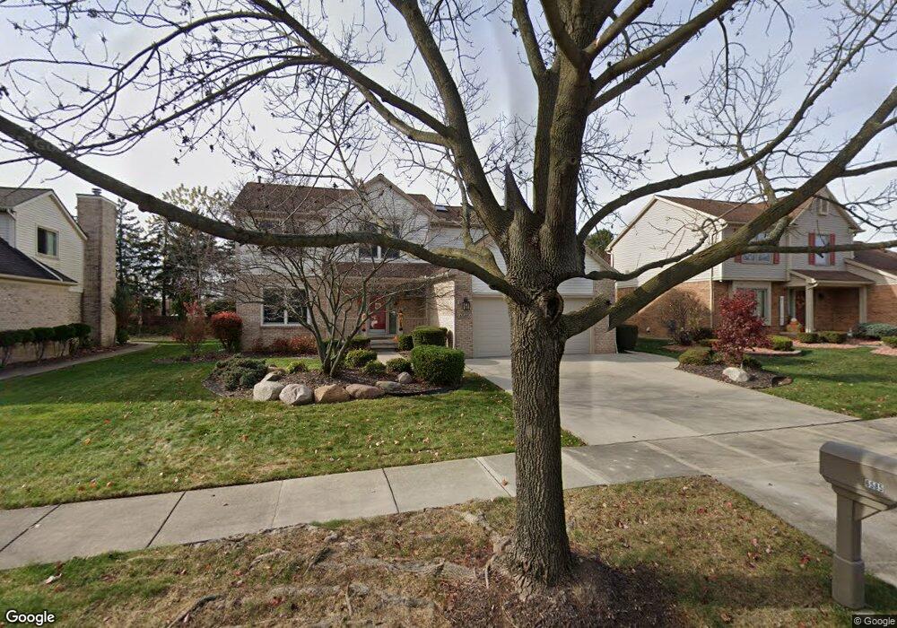
6585 Norwood Dr Canton, MI 48187
Estimated Value: $437,647 - $493,000
--
Bed
3
Baths
2,223
Sq Ft
$207/Sq Ft
Est. Value
About This Home
This home is located at 6585 Norwood Dr, Canton, MI 48187 and is currently estimated at $460,412, approximately $207 per square foot. 6585 Norwood Dr is a home located in Wayne County with nearby schools including Canton High School, Discovery Middle School, and Plymouth High School.
Ownership History
Date
Name
Owned For
Owner Type
Purchase Details
Closed on
May 27, 1994
Sold by
Mapleridge Builders Inc
Bought by
Flanigan-Hattie Gary A Hattie and Flanigan-Hattie Kathleen
Current Estimated Value
Home Financials for this Owner
Home Financials are based on the most recent Mortgage that was taken out on this home.
Original Mortgage
$115,000
Interest Rate
8.45%
Mortgage Type
New Conventional
Create a Home Valuation Report for This Property
The Home Valuation Report is an in-depth analysis detailing your home's value as well as a comparison with similar homes in the area
Home Values in the Area
Average Home Value in this Area
Purchase History
| Date | Buyer | Sale Price | Title Company |
|---|---|---|---|
| Flanigan-Hattie Gary A Hattie | $162,760 | -- |
Source: Public Records
Mortgage History
| Date | Status | Borrower | Loan Amount |
|---|---|---|---|
| Closed | Flanigan-Hattie Gary A Hattie | $115,000 |
Source: Public Records
Tax History Compared to Growth
Tax History
| Year | Tax Paid | Tax Assessment Tax Assessment Total Assessment is a certain percentage of the fair market value that is determined by local assessors to be the total taxable value of land and additions on the property. | Land | Improvement |
|---|---|---|---|---|
| 2025 | $2,509 | $217,600 | $0 | $0 |
| 2024 | $2,509 | $198,700 | $0 | $0 |
| 2023 | $2,392 | $188,100 | $0 | $0 |
| 2022 | $5,215 | $171,200 | $0 | $0 |
| 2021 | $5,060 | $165,400 | $0 | $0 |
| 2020 | $4,997 | $162,300 | $0 | $0 |
| 2019 | $4,908 | $155,160 | $0 | $0 |
| 2018 | $2,033 | $146,710 | $0 | $0 |
| 2017 | $4,981 | $142,300 | $0 | $0 |
| 2016 | $4,459 | $138,200 | $0 | $0 |
| 2015 | $11,170 | $135,210 | $0 | $0 |
| 2013 | $10,821 | $118,290 | $0 | $0 |
| 2010 | -- | $104,240 | $50,993 | $53,247 |
Source: Public Records
Map
Nearby Homes
- 48590 Ford Rd
- 50782 Ross St
- 45139 Indian Creek Dr
- 6838 Bostonhill Ln
- 6596 Chadwick Dr
- 44585 Nantucket Dr
- 44995 Quaker Hill Dr
- 44999 N Spring Dr
- 6907 Harvard Ln
- 6972 Harvard Ln
- 6986 Harvard Ln Unit 129
- 44409 Newburyport Dr Unit 133
- 0000 Ford
- 6844 Woodmere Dr
- 835 Coldrose Way
- 1945 W Franklin Dr Unit 13
- 43875 Leeann Ln
- 44609 Meadowcreek Ln Unit 24
- 43764 Hanford Rd
- 43783 Leeann Ln
- 6631 Norwood Dr
- 6539 Norwood Dr
- 6628 Fox Path
- 6493 Norwood Dr Unit 15
- 6636 Fox Path
- 6447 Norwood Dr
- 6723 Norwood Dr
- 6625 Fox Path
- 6473 Fox Hills Rd
- 6436 Fox Hills Rd
- 6644 Fox Path
- 6639 Fox Path
- 6462 Fox Hills Rd
- 6507 Fox Hills Rd
- 6488 Fox Hills Rd
- 6771 Norwood Dr
- 6679 Fox Path
- 6512 N Canton Center Rd
- 6510 Fox Hills Rd Unit 20
- 6652 Fox Path