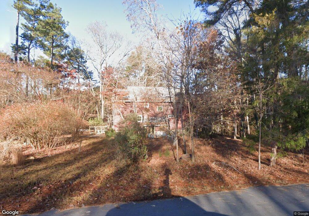
6586 Garrett Rd Buford, GA 30518
Estimated Value: $454,000 - $611,000
3
Beds
2
Baths
2,296
Sq Ft
$227/Sq Ft
Est. Value
About This Home
This home is located at 6586 Garrett Rd, Buford, GA 30518 and is currently estimated at $520,522, approximately $226 per square foot. 6586 Garrett Rd is a home located in Gwinnett County with nearby schools including White Oak Elementary School, Lanier Middle School, and Lanier High School.
Ownership History
Date
Name
Owned For
Owner Type
Purchase Details
Closed on
May 28, 2008
Sold by
Smith Daniel L
Bought by
Sutt Amanda
Current Estimated Value
Home Financials for this Owner
Home Financials are based on the most recent Mortgage that was taken out on this home.
Original Mortgage
$166,950
Outstanding Balance
$105,148
Interest Rate
5.86%
Mortgage Type
New Conventional
Estimated Equity
$415,374
Purchase Details
Closed on
Jul 31, 2006
Sold by
Poe Robert A and Poe Sherrian J
Bought by
Smith Daniel L
Home Financials for this Owner
Home Financials are based on the most recent Mortgage that was taken out on this home.
Original Mortgage
$25,350
Interest Rate
6.34%
Mortgage Type
Unknown
Create a Home Valuation Report for This Property
The Home Valuation Report is an in-depth analysis detailing your home's value as well as a comparison with similar homes in the area
Home Values in the Area
Average Home Value in this Area
Purchase History
| Date | Buyer | Sale Price | Title Company |
|---|---|---|---|
| Sutt Amanda | $185,500 | -- | |
| Smith Daniel L | $169,000 | -- |
Source: Public Records
Mortgage History
| Date | Status | Borrower | Loan Amount |
|---|---|---|---|
| Open | Sutt Amanda | $166,950 | |
| Previous Owner | Smith Daniel L | $25,350 | |
| Previous Owner | Smith Daniel L | $135,200 |
Source: Public Records
Map
Nearby Homes
- 6594 Garrett Rd
- 6381 Lakeview Dr
- 6402 Lakeview Dr
- 6220 Stewart Rd
- 6219 Woodlake Dr
- 1530 Stewart Ridge Dr
- 1001 Lanier Springs Ct
- 5920 Branden Hill Ln
- 2210 Lanier Harbor Pointe
- 6054 Stewart Rd
- 2079 Lanier Harbor Pointe
- 1930 Marina Way
- 932 Homepark Cir
- 972 Homepark Cir
- 942 Homepark Cir
- 2075 Pine Tree Dr Unit B2
- 1218 Lanier Springs Dr
- 818 Dodd Trail Unit 171
- 6101 Sparkling Cove Ln
- 1212 Homepark Cir
- 6596 Garrett Rd
- 1766 Green Rd
- 6587 Garrett Rd
- 6602 Garrett Rd
- 6585 Garrett Rd
- 1803 Green Rd
- 6600 Garrett Rd
- 7162 Green Rd
- 1700 Green Rd
- 1770 Green Rd
- 6589 Garrett Rd
- 6610 Garrett Rd
- 1793 Green Rd
- 6581 Garrett Rd
- 6579 Garrett Rd
- 6574 Garrett Rd
- 1783 Green Rd
- 6620 Garrett Rd
- 1760 Green Rd
- 1773 Green Rd
Your Personal Tour Guide
Ask me questions while you tour the home.