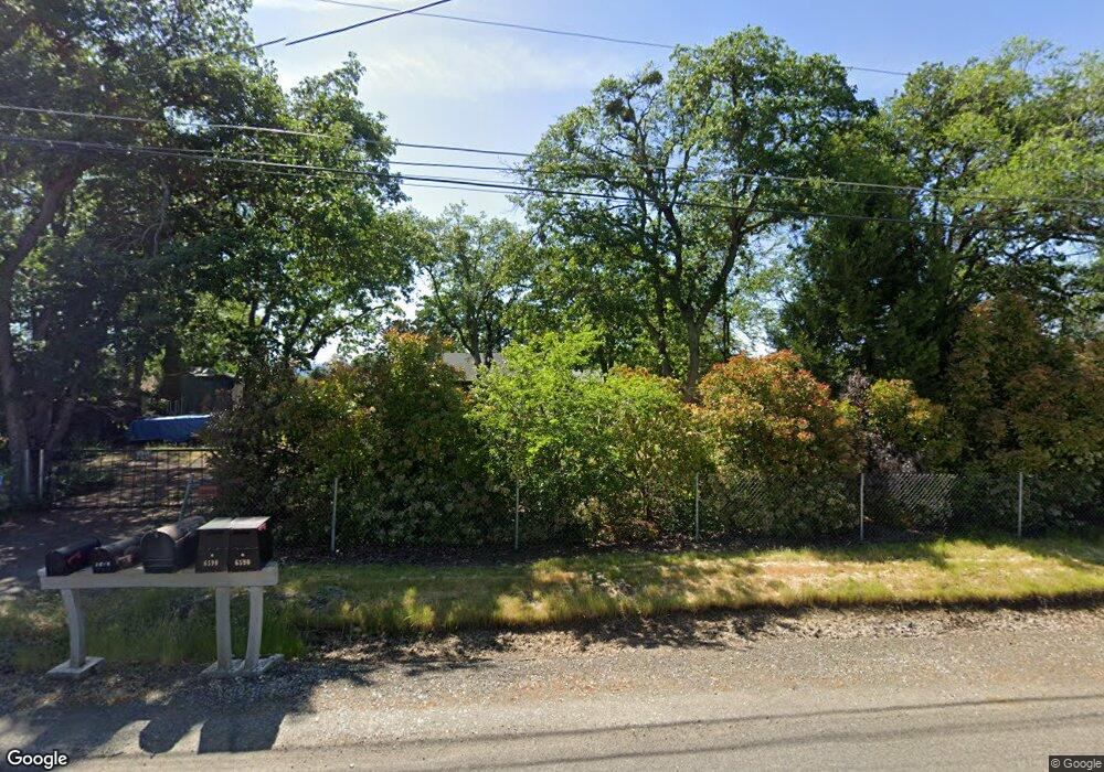
6589 Pinehurst St Central Point, OR 97502
Estimated Value: $369,751 - $403,000
3
Beds
2
Baths
1,280
Sq Ft
$300/Sq Ft
Est. Value
About This Home
This home is located at 6589 Pinehurst St, Central Point, OR 97502 and is currently estimated at $384,250, approximately $300 per square foot. 6589 Pinehurst St is a home located in Jackson County with nearby schools including Sams Valley Elementary School, Scenic Middle School, and Crater High School.
Ownership History
Date
Name
Owned For
Owner Type
Purchase Details
Closed on
Oct 26, 1998
Sold by
Buck David L and Buck Dorothy
Bought by
Elms Michael T
Current Estimated Value
Home Financials for this Owner
Home Financials are based on the most recent Mortgage that was taken out on this home.
Original Mortgage
$56,000
Outstanding Balance
$12,454
Interest Rate
7.99%
Estimated Equity
$371,796
Create a Home Valuation Report for This Property
The Home Valuation Report is an in-depth analysis detailing your home's value as well as a comparison with similar homes in the area
Purchase History
| Date | Buyer | Sale Price | Title Company |
|---|---|---|---|
| Elms Michael T | $110,000 | Crater Title Insurance |
Source: Public Records
Mortgage History
| Date | Status | Borrower | Loan Amount |
|---|---|---|---|
| Open | Elms Michael T | $56,000 |
Source: Public Records
Tax History
| Year | Tax Paid | Tax Assessment Tax Assessment Total Assessment is a certain percentage of the fair market value that is determined by local assessors to be the total taxable value of land and additions on the property. | Land | Improvement |
|---|---|---|---|---|
| 2026 | $2,395 | $196,150 | -- | -- |
| 2025 | $2,340 | $190,440 | $92,710 | $97,730 |
| 2024 | $2,340 | $184,900 | $72,150 | $112,750 |
| 2023 | $2,262 | $179,520 | $70,050 | $109,470 |
| 2022 | $2,214 | $179,520 | $70,050 | $109,470 |
| 2021 | $2,151 | $174,300 | $68,010 | $106,290 |
| 2020 | $2,088 | $169,230 | $66,030 | $103,200 |
| 2019 | $2,040 | $159,530 | $62,230 | $97,300 |
| 2018 | $1,977 | $154,890 | $60,420 | $94,470 |
| 2017 | $1,930 | $154,890 | $60,420 | $94,470 |
| 2016 | $1,874 | $146,000 | $56,960 | $89,040 |
| 2015 | $1,787 | $146,000 | $56,960 | $89,040 |
| 2014 | $1,744 | $137,630 | $53,690 | $83,940 |
Source: Public Records
Map
Nearby Homes
- 380 W Gregory Rd Unit 1
- 594 W Gregory Rd
- 6850 Downing Rd Unit 11
- 6850 Downing Rd Unit SPC 31
- 6850 Downing Rd Unit 7
- 6850 Downing Rd Unit 25
- 6850 Downing Rd Unit 65
- 1729 E Gregory Rd
- 225 Wilson Rd
- 549 Wilson Rd
- 2460 Jeremy St
- 1617 Tennessee Ln
- 1653 Kentucky Ct
- 2335 New Haven Dr
- 2311 Lara Ln
- 4824 Airway Dr Unit 371W06BB410
- 875 N Mountain Ave
- 1917 Bobcat Way
- 4676 Industry Dr
- 1921 Bobcat Way
- 6569 Pinehurst St
- 6607 Pinehurst St
- 75 E Gregory Rd
- 6625 Pinehurst St
- 6570 Pinehurst St
- 93 E Gregory Rd
- 6608 Table Rock Rd
- 6655 Pinehurst St
- 6550 Pinehurst St
- 6590 Pinehurst St
- 6626 Table Rock Rd
- 6524 Table Rock Rd
- 6590 Table Rock Rd
- 6524 Pinehurst St
- 6590 Table Rock 6600 Rd
- 6590 Table Rock 6600 Rd
- 6663 Pinehurst St
- 6662 Table Rock Rd
- 6646 Pinehurst St
- 161 E Gregory Rd
Your Personal Tour Guide
Ask me questions while you tour the home.