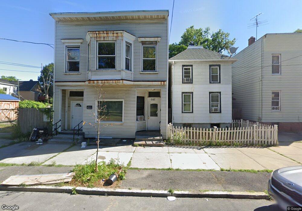
659 2nd St Albany, NY 12206
West End NeighborhoodEstimated Value: $144,000 - $224,000
2
Beds
2
Baths
1,492
Sq Ft
$124/Sq Ft
Est. Value
About This Home
This home is located at 659 2nd St, Albany, NY 12206 and is currently estimated at $185,385, approximately $124 per square foot. 659 2nd St is a home located in Albany County with nearby schools including Stephen And Harriet Myers Middle School, Roots Academy at West Hill, and Albany High School.
Create a Home Valuation Report for This Property
The Home Valuation Report is an in-depth analysis detailing your home's value as well as a comparison with similar homes in the area
Home Values in the Area
Average Home Value in this Area
Tax History Compared to Growth
Tax History
| Year | Tax Paid | Tax Assessment Tax Assessment Total Assessment is a certain percentage of the fair market value that is determined by local assessors to be the total taxable value of land and additions on the property. | Land | Improvement |
|---|---|---|---|---|
| 2024 | $3,485 | $121,000 | $24,200 | $96,800 |
| 2023 | $2,600 | $77,000 | $15,400 | $61,600 |
| 2022 | $2,467 | $77,000 | $15,400 | $61,600 |
| 2021 | $2,436 | $77,000 | $15,400 | $61,600 |
| 2020 | $2,798 | $77,000 | $15,400 | $61,600 |
| 2019 | $3,031 | $77,000 | $15,400 | $61,600 |
| 2018 | $2,799 | $77,000 | $15,400 | $61,600 |
| 2017 | $2,833 | $77,000 | $15,400 | $61,600 |
| 2016 | $2,632 | $77,000 | $15,400 | $61,600 |
| 2015 | $2,757 | $78,500 | $22,300 | $56,200 |
| 2014 | -- | $78,500 | $22,300 | $56,200 |
Source: Public Records
Map
Nearby Homes
- 9 N Manning Blvd
- 15 N Manning Blvd
- 596 3rd St
- 53 N Manning Blvd
- 587 3rd St
- 41-43 N Manning Blvd
- 37-39 N Manning Blvd
- 3 Manning Square
- 50 N Manning Blvd
- 630 Livingston Ave
- 596 Livingston Ave
- 464 3rd St
- 41 Ontario St
- 52 Ontario St
- 107 Kent St
- 87 Kent St
- 40 Ontario St
- 528 2nd St
- 100 Ontario St
- 522 2nd St