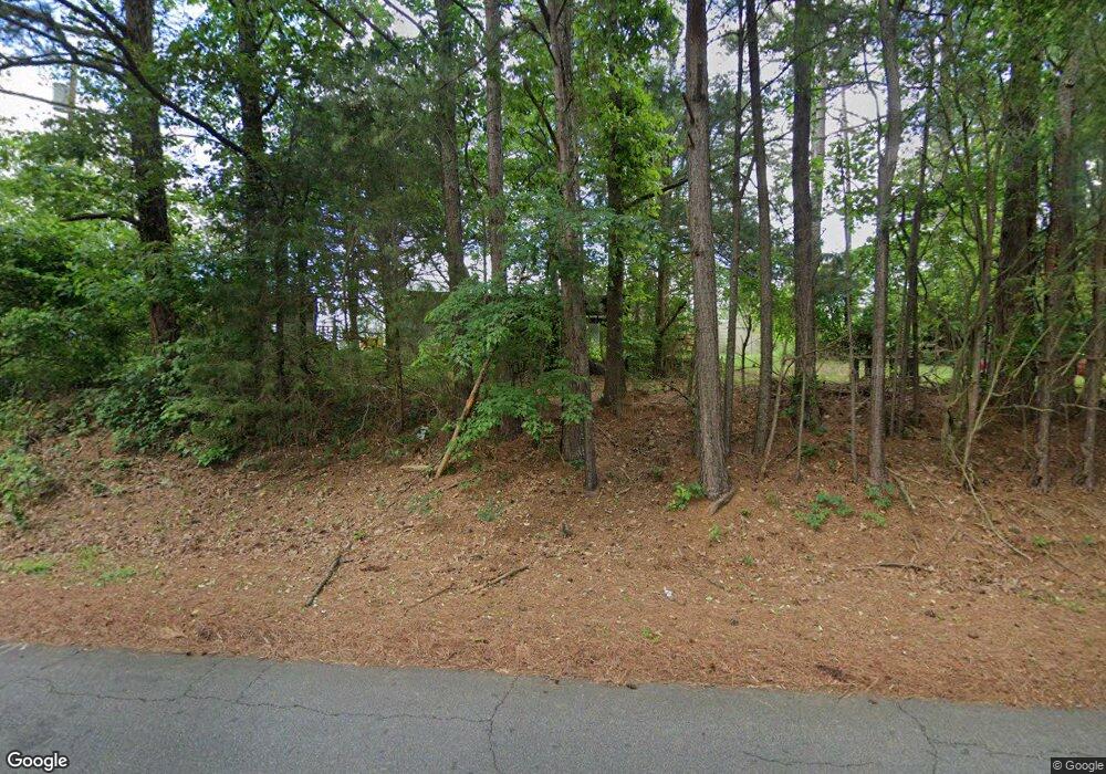
659 Adams Sullivan Rd Walhalla, SC 29691
Estimated Value: $205,000 - $484,468
3
Beds
2
Baths
1,148
Sq Ft
$279/Sq Ft
Est. Value
About This Home
This home is located at 659 Adams Sullivan Rd, Walhalla, SC 29691 and is currently estimated at $320,367, approximately $279 per square foot. 659 Adams Sullivan Rd is a home located in Oconee County with nearby schools including James M. Brown Elementary School, Walhalla Middle School, and Walhalla High School.
Ownership History
Date
Name
Owned For
Owner Type
Purchase Details
Closed on
May 9, 2025
Sold by
Smith Carol Dianne
Bought by
Foster Anna Michele and Foster Michele
Current Estimated Value
Purchase Details
Closed on
May 21, 2024
Sold by
Pitts Janet Adams
Bought by
Smith Carol Dianne
Purchase Details
Closed on
Aug 31, 2021
Sold by
Pitts Janet A
Bought by
Smith Carol Diane
Purchase Details
Closed on
Apr 21, 2020
Sold by
Barner Rebecca P and Estate Of Claud Pitts
Bought by
Pitts Janet A
Create a Home Valuation Report for This Property
The Home Valuation Report is an in-depth analysis detailing your home's value as well as a comparison with similar homes in the area
Home Values in the Area
Average Home Value in this Area
Purchase History
| Date | Buyer | Sale Price | Title Company |
|---|---|---|---|
| Foster Anna Michele | -- | None Listed On Document | |
| Foster Anna Michele | -- | None Listed On Document | |
| Smith Carol Dianne | -- | None Listed On Document | |
| Smith Carol Diane | -- | -- | |
| Pitts Janet A | -- | None Available |
Source: Public Records
Tax History Compared to Growth
Tax History
| Year | Tax Paid | Tax Assessment Tax Assessment Total Assessment is a certain percentage of the fair market value that is determined by local assessors to be the total taxable value of land and additions on the property. | Land | Improvement |
|---|---|---|---|---|
| 2025 | $568 | $11,510 | $6,880 | $4,630 |
| 2024 | $358 | $11,510 | $6,880 | $4,630 |
| 2023 | $363 | $11,510 | $6,880 | $4,630 |
| 2022 | $1,708 | $11,510 | $6,880 | $4,630 |
| 2021 | $342 | $11,067 | $6,671 | $4,396 |
| 2020 | $342 | $10,932 | $6,536 | $4,396 |
| 2019 | $342 | $0 | $0 | $0 |
| 2018 | $1,094 | $0 | $0 | $0 |
| 2017 | $334 | $0 | $0 | $0 |
| 2016 | $334 | $0 | $0 | $0 |
| 2015 | -- | $0 | $0 | $0 |
| 2014 | -- | $13,681 | $9,380 | $4,301 |
| 2013 | -- | $0 | $0 | $0 |
Source: Public Records
Map
Nearby Homes
- 430 Rock Crusher Rd
- 316 Briar Creek Rd
- 711 Campbell Town Rd
- 2054 Westminster Hwy
- 2423 Westminster Hwy
- 606 W South Broad St
- 155 Whitman Hollow Rd
- 804 W North Broad St
- 00 S Spring St
- 000 Hunters Trail
- 1050 Highlands Hwy
- 320 Jaynes St
- 117 Edney Dr
- 545 Knollington Dr
- 208 Branch St
- 00 Branch St
- 301 Shadybrook Dr Unit B
- 46 Mason Dr
- 00 Keowee St
- 105 Jefferson Place
- 671 Adams Sullivan Rd
- 640 Adams Sullivan Rd
- 674 Adams Sullivan Rd
- 628 Adams Sullivan Dr
- 122 Skyview Dr
- 608 Adams Sullivan Dr
- 601 Adams Sullivan Rd
- 117 Skyview Dr
- 117 Sky View Dr
- 601 Adams Sullivan Dr
- 0 Nectarine Cir
- 608 Trudy Trace
- 116 Skyview Dr
- 113 Skyview Dr
- 362 Sarah Norton Dr
- 534 Adams Sullivan Dr
- 114 Skyview Dr
- 744 Adams Sullivan Rd
- 532 Adams Sullivan Rd
- 533 Adams Sullivan Rd
