Estimated Value: $179,000 - $228,000
4
Beds
2
Baths
1,152
Sq Ft
$179/Sq Ft
Est. Value
About This Home
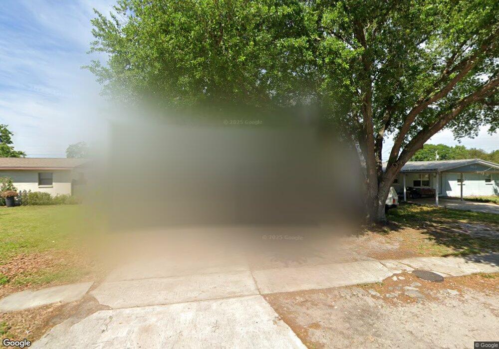
This home is located at 659 Bacon St, Cocoa, FL 32926 and is currently estimated at $206,468, approximately $179 per square foot. 659 Bacon St is a home located in Brevard County with nearby schools including Saturn Elementary School, Cocoa High School, and Emma Jewel Charter Academy.
Ownership History
Date
Name
Owned For
Owner Type
Purchase Details
Closed on
Jun 18, 2008
Sold by
Scioli Richard E
Bought by
Scioli Richard E and The Richard E Scioli Revocable
Current Estimated Value
Purchase Details
Closed on
Apr 21, 2008
Sold by
Federal Home Loan Mortgage Corporation
Bought by
Scioli Richard E
Purchase Details
Closed on
Jan 9, 2008
Sold by
Burnham Anderson and Crockett Clay C
Bought by
Federal Home Loan Mortgage Corporation
Purchase Details
Closed on
Oct 13, 2005
Sold by
Peed Nina and Peed Richard E
Bought by
Burnham Anderson
Home Financials for this Owner
Home Financials are based on the most recent Mortgage that was taken out on this home.
Original Mortgage
$93,800
Interest Rate
5.66%
Create a Home Valuation Report for This Property
The Home Valuation Report is an in-depth analysis detailing your home's value as well as a comparison with similar homes in the area
Home Values in the Area
Average Home Value in this Area
Purchase History
| Date | Buyer | Sale Price | Title Company |
|---|---|---|---|
| Scioli Richard E | -- | Attorney | |
| Scioli Richard E | $70,000 | New House Title Llc | |
| Federal Home Loan Mortgage Corporation | -- | Attorney | |
| Burnham Anderson | $134,000 | The Title Team |
Source: Public Records
Mortgage History
| Date | Status | Borrower | Loan Amount |
|---|---|---|---|
| Previous Owner | Burnham Anderson | $93,800 |
Source: Public Records
Tax History
| Year | Tax Paid | Tax Assessment Tax Assessment Total Assessment is a certain percentage of the fair market value that is determined by local assessors to be the total taxable value of land and additions on the property. | Land | Improvement |
|---|---|---|---|---|
| 2025 | $1,896 | $135,790 | -- | -- |
| 2024 | $1,728 | $143,380 | -- | -- |
| 2023 | $1,728 | $121,310 | $0 | $0 |
| 2022 | $1,484 | $100,960 | $0 | $0 |
| 2021 | $1,294 | $65,720 | $25,000 | $40,720 |
| 2020 | $1,141 | $51,300 | $20,000 | $31,300 |
| 2019 | $1,079 | $52,660 | $20,000 | $32,660 |
| 2018 | $1,035 | $48,450 | $15,000 | $33,450 |
| 2017 | $954 | $38,180 | $12,000 | $26,180 |
| 2016 | $953 | $37,150 | $12,000 | $25,150 |
| 2015 | $906 | $33,070 | $12,000 | $21,070 |
| 2014 | $893 | $31,840 | $12,000 | $19,840 |
Source: Public Records
Map
Nearby Homes
- 2511 Hathaway Dr
- 2475 Mercury Dr
- 2472 Victor Rd
- 766 Lunar Lake Cir
- 764 Lunar Lake Cir
- 2409 Granger Rd
- 2442 Dianne Dr
- 717 Lunar Lake Cir
- 703 Venus Dr
- 1301 N Range Rd
- 0000 N Range Rd
- 695 Lantana St
- 472 Carley Ln
- 2029 Ivy Dr
- 1326 Stetson Ct
- 1703 Spartan St Unit SRO737
- 701 Monday Ct
- 1686 Ritzcraft St Unit 326
- 2515 Fairfield Dr
- 1810 Dixon Blvd
- 663 Bacon St
- 655 Bacon St
- 2503 Marlowe Place
- 2501 Marlowe Place
- 2505 Marlowe Place
- 656 Bacon St
- 651 Bacon St
- 2582 Stratford Dr
- 664 Bacon St
- 2507 Marlowe Place
- 2578 Stratford Dr
- 2586 Stratford Dr
- 647 Bacon St
- 648 Bacon St
- 2512 Marlowe Place
- 2509 Marlowe Place
- 639 Bacon St
- 2510 Marlowe Place
- 2516 Marlowe Place
- 2588 Stratford Dr
Your Personal Tour Guide
Ask me questions while you tour the home.