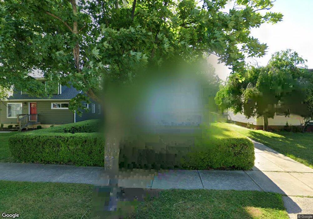
659 E 241st St Euclid, OH 44123
Estimated Value: $118,000 - $139,000
2
Beds
1
Bath
1,206
Sq Ft
$108/Sq Ft
Est. Value
About This Home
This home is located at 659 E 241st St, Euclid, OH 44123 and is currently estimated at $129,852, approximately $107 per square foot. 659 E 241st St is a home located in Cuyahoga County with nearby schools including Bluestone Elementary School, Euclid High School, and Pinnacle Academy.
Ownership History
Date
Name
Owned For
Owner Type
Purchase Details
Closed on
Mar 16, 2009
Sold by
Crane Ralph E
Bought by
Crane Jolinda F
Current Estimated Value
Purchase Details
Closed on
Feb 5, 1982
Sold by
Crane Ralph E
Bought by
Crane Ralph E and Crane Jolinda F
Purchase Details
Closed on
Nov 1, 1976
Sold by
Laurencell Joseph G
Bought by
Crane Ralph E
Purchase Details
Closed on
Oct 7, 1976
Sold by
Laurencell Joseph G and Laurencell C
Bought by
Laurencell Joseph G
Purchase Details
Closed on
Jan 1, 1975
Bought by
Laurencell Joseph G and Laurencell C
Create a Home Valuation Report for This Property
The Home Valuation Report is an in-depth analysis detailing your home's value as well as a comparison with similar homes in the area
Home Values in the Area
Average Home Value in this Area
Purchase History
| Date | Buyer | Sale Price | Title Company |
|---|---|---|---|
| Crane Jolinda F | -- | Attorney | |
| Crane Jolinda F | -- | Attorney | |
| Crane Ralph E | -- | -- | |
| Crane Ralph E | $20,000 | -- | |
| Laurencell Joseph G | -- | -- | |
| Laurencell Joseph G | -- | -- |
Source: Public Records
Tax History Compared to Growth
Tax History
| Year | Tax Paid | Tax Assessment Tax Assessment Total Assessment is a certain percentage of the fair market value that is determined by local assessors to be the total taxable value of land and additions on the property. | Land | Improvement |
|---|---|---|---|---|
| 2024 | $3,112 | $45,150 | $8,820 | $36,330 |
| 2023 | $2,785 | $32,140 | $6,690 | $25,450 |
| 2022 | $2,722 | $32,130 | $6,690 | $25,450 |
| 2021 | $3,032 | $32,130 | $6,690 | $25,450 |
| 2020 | $2,877 | $27,720 | $5,780 | $21,950 |
| 2019 | $2,587 | $79,200 | $16,500 | $62,700 |
| 2018 | $2,590 | $27,720 | $5,780 | $21,950 |
| 2017 | $2,785 | $24,720 | $4,800 | $19,920 |
| 2016 | $2,791 | $24,720 | $4,800 | $19,920 |
| 2015 | $2,541 | $24,720 | $4,800 | $19,920 |
| 2014 | $2,541 | $24,720 | $4,800 | $19,920 |
Source: Public Records
Map
Nearby Homes
- 24270 Glenforest Rd
- 23901 Colbourne Rd
- 24451 Deanna Ct
- 24571 Alberton Rd
- 24181 Devoe Ave
- 890 E 250th St
- 647 Voelker Ave
- 23198 Gay St
- 825 E 256th St
- 22751 Fox Ave
- 490 Kenwood Dr Unit B
- 470 Kenwood Dr Unit D
- 450 Kenwood Dr Unit E12
- 421 Kenwood Dr Unit G
- 334 E 238th St
- 25650 Richards Ave
- 22301 Milton Dr
- 324 E 235th St
- 24871 Farringdon Ave
- 464 E 250th St
- 663 E 241st St
- 655 E 241st St
- 24200 Hartland Dr
- 667 E 241st St
- 24230 Hartland Dr
- 671 E 241st St
- 24201 Glenforest Rd
- 24270 Hartland Dr
- 660 E 241st St
- 656 E 241st St
- 664 E 241st St
- 675 E 241st St
- 24231 Glenforest Rd
- 668 E 241st St
- 24181 Hartland Dr
- 24201 Hartland Dr
- 24161 Hartland Dr
- 24300 Hartland Dr
- 672 E 241st St
- 24231 Hartland Dr