659 Fillmore Rd Fitzgerald, GA 31750
Estimated Value: $51,505 - $234,000
3
Beds
2
Baths
1,280
Sq Ft
$106/Sq Ft
Est. Value
About This Home
This home is located at 659 Fillmore Rd, Fitzgerald, GA 31750 and is currently estimated at $136,126, approximately $106 per square foot. 659 Fillmore Rd is a home located in Irwin County with nearby schools including Irwin County Elementary School, Irwin County Middle School, and Irwin County High School.
Ownership History
Date
Name
Owned For
Owner Type
Purchase Details
Closed on
Sep 30, 2022
Sold by
Brown Dorothy N
Bought by
Brown James Roy
Current Estimated Value
Purchase Details
Closed on
Mar 29, 2010
Sold by
Citifinancial Services Inc
Bought by
Brown Dorothy N
Purchase Details
Closed on
Dec 1, 2009
Sold by
Grantham Jackie
Bought by
Citifinancial Services Inc
Purchase Details
Closed on
Feb 28, 1992
Bought by
Huffman Nathaniel
Create a Home Valuation Report for This Property
The Home Valuation Report is an in-depth analysis detailing your home's value as well as a comparison with similar homes in the area
Home Values in the Area
Average Home Value in this Area
Purchase History
| Date | Buyer | Sale Price | Title Company |
|---|---|---|---|
| Brown James Roy | $20,000 | -- | |
| Brown Dorothy N | $14,999 | -- | |
| Citifinancial Services Inc | $23,720 | -- | |
| Huffman Nathaniel | -- | -- |
Source: Public Records
Tax History Compared to Growth
Tax History
| Year | Tax Paid | Tax Assessment Tax Assessment Total Assessment is a certain percentage of the fair market value that is determined by local assessors to be the total taxable value of land and additions on the property. | Land | Improvement |
|---|---|---|---|---|
| 2024 | $264 | $8,393 | $3,904 | $4,489 |
| 2023 | $264 | $8,393 | $3,904 | $4,489 |
| 2022 | $264 | $8,393 | $3,904 | $4,489 |
| 2021 | $264 | $8,393 | $3,904 | $4,489 |
| 2020 | $264 | $8,393 | $3,904 | $4,489 |
| 2019 | $264 | $8,393 | $3,904 | $4,489 |
| 2018 | $241 | $8,393 | $3,904 | $4,489 |
| 2017 | $241 | $8,393 | $3,904 | $4,489 |
| 2016 | $244 | $8,393 | $3,904 | $4,489 |
| 2015 | -- | $8,346 | $3,904 | $4,442 |
| 2014 | -- | $8,346 | $3,904 | $4,442 |
| 2013 | -- | $8,346 | $3,904 | $4,442 |
Source: Public Records
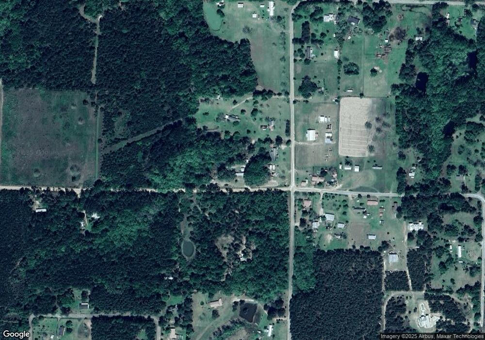
Map
Nearby Homes
- 1024 Ten Mile Rd
- 668 Ten Mile Rd
- 668 Co Rd 245
- 223 Walker Rd
- 0 Clay Rd
- 697 Benjamin H Hill Dr
- 650 Benjamin H Hill Dr W
- 650 Benjamin H Hill Dr
- 1171 W Roanoke Dr Ext None
- 152 David Dr
- 160 Lakeview Dr
- 117 Meadowlark Ln
- 225 Meadowlark Ln
- 885 Lower Rebecca Rd
- 0 Benjamin H Hill Dr Unit 21545626
- 138 Azalea Ln
- 221 Gettysburg Rd
- 178 Burnside Rd
- 277 Lincoln Ave
- 271 Lincoln Ave