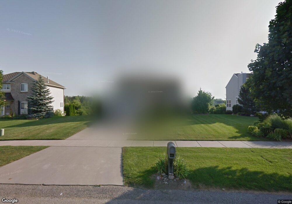
659 Firestone Dr SE Byron Center, MI 49315
Estimated Value: $380,000 - $547,000
1
Bed
3
Baths
1,759
Sq Ft
$253/Sq Ft
Est. Value
About This Home
This home is located at 659 Firestone Dr SE, Byron Center, MI 49315 and is currently estimated at $445,458, approximately $253 per square foot. 659 Firestone Dr SE is a home located in Kent County with nearby schools including Countryside Elementary School, Robert L. Nickels Intermediate School, and Byron Center West Middle School.
Ownership History
Date
Name
Owned For
Owner Type
Purchase Details
Closed on
Jul 22, 2005
Sold by
Bobo Llc
Bought by
Stevens Pointe Recreation Assn
Current Estimated Value
Purchase Details
Closed on
Feb 1, 2001
Sold by
Bobo Llc
Bought by
Boswith Patricia
Home Financials for this Owner
Home Financials are based on the most recent Mortgage that was taken out on this home.
Original Mortgage
$170,000
Interest Rate
7.18%
Mortgage Type
Purchase Money Mortgage
Purchase Details
Closed on
May 15, 2000
Bought by
Bobo Llc and Boswith Patricia
Create a Home Valuation Report for This Property
The Home Valuation Report is an in-depth analysis detailing your home's value as well as a comparison with similar homes in the area
Home Values in the Area
Average Home Value in this Area
Purchase History
| Date | Buyer | Sale Price | Title Company |
|---|---|---|---|
| Stevens Pointe Recreation Assn | -- | Metropolitan Title Company | |
| Boswith Patricia | -- | Metropolitan Title Company | |
| Bobo Llc | -- | -- |
Source: Public Records
Mortgage History
| Date | Status | Borrower | Loan Amount |
|---|---|---|---|
| Previous Owner | Boswith Patricia | $170,000 |
Source: Public Records
Tax History Compared to Growth
Tax History
| Year | Tax Paid | Tax Assessment Tax Assessment Total Assessment is a certain percentage of the fair market value that is determined by local assessors to be the total taxable value of land and additions on the property. | Land | Improvement |
|---|---|---|---|---|
| 2025 | $2,637 | $201,400 | $0 | $0 |
| 2024 | $2,637 | $189,900 | $0 | $0 |
| 2023 | $2,401 | $171,100 | $0 | $0 |
| 2022 | $2,401 | $156,600 | $0 | $0 |
| 2021 | $3,327 | $136,800 | $0 | $0 |
| 2020 | $2,321 | $144,400 | $0 | $0 |
| 2019 | $3,102 | $136,000 | $0 | $0 |
| 2018 | $3,102 | $124,700 | $20,000 | $104,700 |
| 2017 | $0 | $113,200 | $0 | $0 |
| 2016 | $0 | $108,200 | $0 | $0 |
| 2015 | -- | $108,200 | $0 | $0 |
| 2013 | -- | $95,900 | $0 | $0 |
Source: Public Records
Map
Nearby Homes
- 752 Stevenspoint SE Unit 22
- 650 Braeside Dr SE Unit 50
- 681 Braeside Dr SE Unit 78
- 1001 Cobblestone Way Dr SE
- 883 84th St SE
- 7749 Turtle Dove Dr SE
- 1117 Peaceful Dr
- 8368 Brickley St
- 7868 High Knoll Dr
- 307 Golden Eagle Dr SE
- 8283 Cook's Corner Dr
- The Stockton Plan at Cooks Crossing
- The Amber Plan at Cooks Crossing
- The Brinley Plan at Cooks Crossing
- The Rowen Plan at Cooks Crossing
- The Taylor Plan at Cooks Crossing
- The Mayfair Plan at Cooks Crossing
- The Georgetown Plan at Cooks Crossing
- The Stafford Plan at Cooks Crossing
- 1167 Cobblestone Way Dr SE
- 647 Firestone Dr SE Unit 16
- 661 Firestone Dr SE Unit 14
- 683 Firestone Dr SE
- 635 Firestone Dr SE
- 691 Firestone Dr SE
- 660 Firestone Dr SE Unit 31
- 627 Firestone Dr SE Unit 18
- 672 Firestone Dr SE
- 632 Firestone Dr SE Unit 29
- 684 Firestone Dr SE Unit 33
- 711 Firestone Dr SE Unit 11
- 611 Firestone Dr SE Unit 19
- 618 Firestone Dr SE Unit 28
- 692 Firestone Dr SE Unit 34
- 625 Oldfield Dr SE
- 617 Oldfield Dr SE Unit 41
- 719 Firestone Dr SE Unit 10
- 604 Firestone Dr SE Unit 27
- 611 Oldfield Dr SE Unit 42
- 599 Firestone Dr SE Unit 20