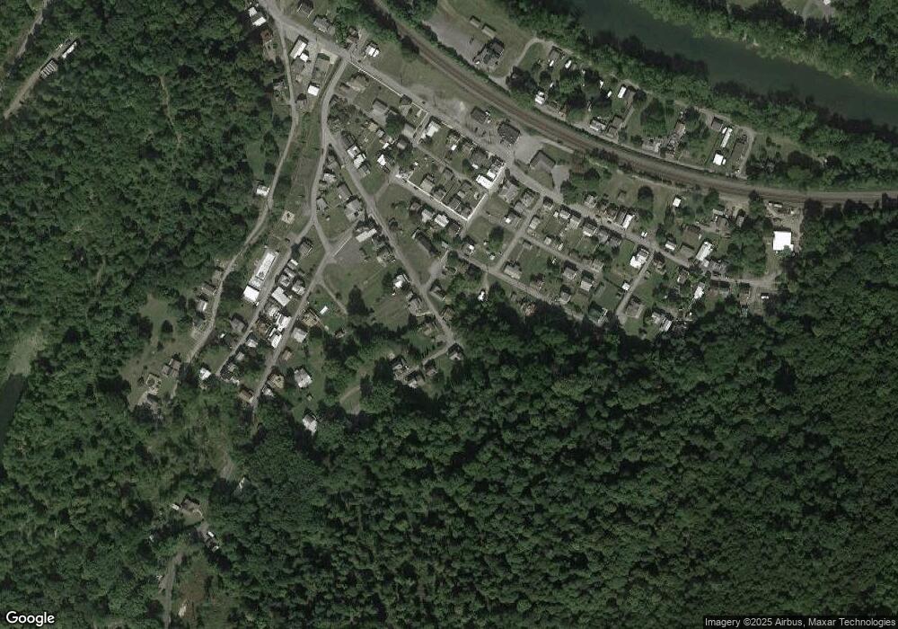
659 Grant St Mapleton Depot, PA 17052
Estimated Value: $44,270 - $95,000
2
Beds
--
Bath
864
Sq Ft
$78/Sq Ft
Est. Value
About This Home
This home is located at 659 Grant St, Mapleton Depot, PA 17052 and is currently estimated at $67,318, approximately $77 per square foot. 659 Grant St is a home with nearby schools including Mount Union Area Senior High School.
Ownership History
Date
Name
Owned For
Owner Type
Purchase Details
Closed on
Sep 10, 2024
Sold by
Snook Dalton C
Bought by
Hockenberry Levi P and Gibson Makenna L
Current Estimated Value
Home Financials for this Owner
Home Financials are based on the most recent Mortgage that was taken out on this home.
Original Mortgage
$35,600
Outstanding Balance
$34,656
Interest Rate
6.78%
Mortgage Type
New Conventional
Estimated Equity
$32,662
Purchase Details
Closed on
Aug 23, 2018
Sold by
Chowdhury Patricia
Bought by
Snook Dalton C
Purchase Details
Closed on
Apr 18, 2005
Sold by
Associates First Capital Corp
Bought by
Chowdhury Patricia
Create a Home Valuation Report for This Property
The Home Valuation Report is an in-depth analysis detailing your home's value as well as a comparison with similar homes in the area
Purchase History
| Date | Buyer | Sale Price | Title Company |
|---|---|---|---|
| Hockenberry Levi P | $40,000 | Bankers Settlement Services | |
| Snook Dalton C | $20,000 | None Available | |
| Chowdhury Patricia | $14,500 | None Available |
Source: Public Records
Mortgage History
| Date | Status | Borrower | Loan Amount |
|---|---|---|---|
| Open | Hockenberry Levi P | $35,600 |
Source: Public Records
Tax History
| Year | Tax Paid | Tax Assessment Tax Assessment Total Assessment is a certain percentage of the fair market value that is determined by local assessors to be the total taxable value of land and additions on the property. | Land | Improvement |
|---|---|---|---|---|
| 2025 | $974 | $11,040 | $480 | $10,560 |
| 2024 | $908 | $11,040 | $480 | $10,560 |
| 2023 | $902 | $11,040 | $480 | $10,560 |
| 2022 | $843 | $11,040 | $480 | $10,560 |
| 2021 | $842 | $11,040 | $480 | $10,560 |
| 2020 | $858 | $11,040 | $480 | $10,560 |
| 2019 | $831 | $11,040 | $480 | $10,560 |
| 2018 | $832 | $11,040 | $480 | $10,560 |
| 2017 | $829 | $11,040 | $480 | $10,560 |
| 2016 | $799 | $11,040 | $480 | $10,560 |
| 2015 | $798 | $11,040 | $480 | $10,560 |
| 2014 | -- | $11,040 | $480 | $10,560 |
Source: Public Records
Map
Nearby Homes
- 544 Reservoir St
- 569 Glendower St
- 12916 Honeysuckle Ln
- 14061 Smith Valley Rd
- 237 W Davis St
- 104 W Garber St
- 33 W Garber St
- 409 S Division St
- 12860 Corbin Rd
- 8165 Sand Rock Rd
- Lot William Penn Hwy
- 0 Corbin Rd
- 0 Wrangletown Rd
- 9 Longhorn Rd Unit WP009
- 4 Longhorn Rd
- 17 Longhorn Rd
- 13 Longhorn Rd
- 170 Longhorn Rd
- 20 Longhorn Rd
- 14074 2nd St
